Speakers Cabin Porcupine Mountains

If you want a minimal effort, maximum backwoods fun trip Speaker’s Cabin has you covered.

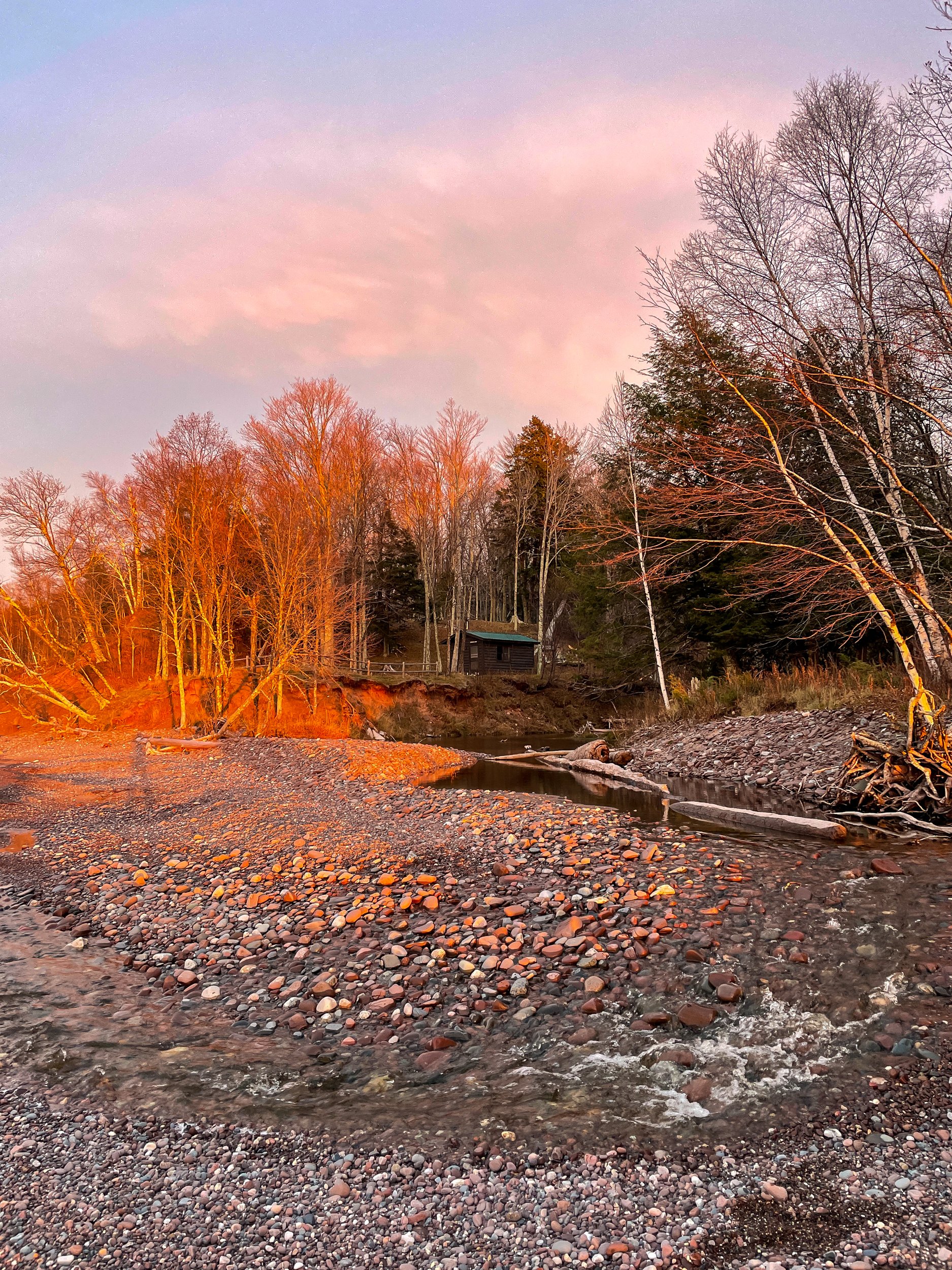
It’s just under a mile walk to your own private cabin on Lake Superior. You can’t really go wrong with any cabin in the Porkies, but Speakers Cabin, IMO, has the best view, the easiest walk-in, and privacy.

The last time I was here was 6 years ago. For the most part, it’s the same setup. There was a flood of Speaker’s Creek in 2016 which caused erosion along the creek edge. After this, the cabin was moved back 20 feet from the creek to avoid future floods. The great news, the zombie flies I mentioned before have abated significantly. 

This weekend we are here with 2 other friends putting us at the 4 person limit. Speakers is a nice size for 4. Space to cook, a woodstove for heat, a big table, and 4 bunks. Wood for the fire is gathered from around the cabin. Thankfully the last group left us a decent amount of dry wood and we returned the favor for the next group.

Although I've yet to use it, my favorite part is the fire ring overlooking Lake Superior. On a cool night, it would be epic to watch the stars or northern lights around the fire. In the summer, the creek and lake would be great for swimming.

The downside of Speakers is that it’s a bit cut off from the main trail system. It’s possible to hike anywhere in the park from the North Country Trail, the trail running by the cabin, but getting to the heart of the park is a long journey.

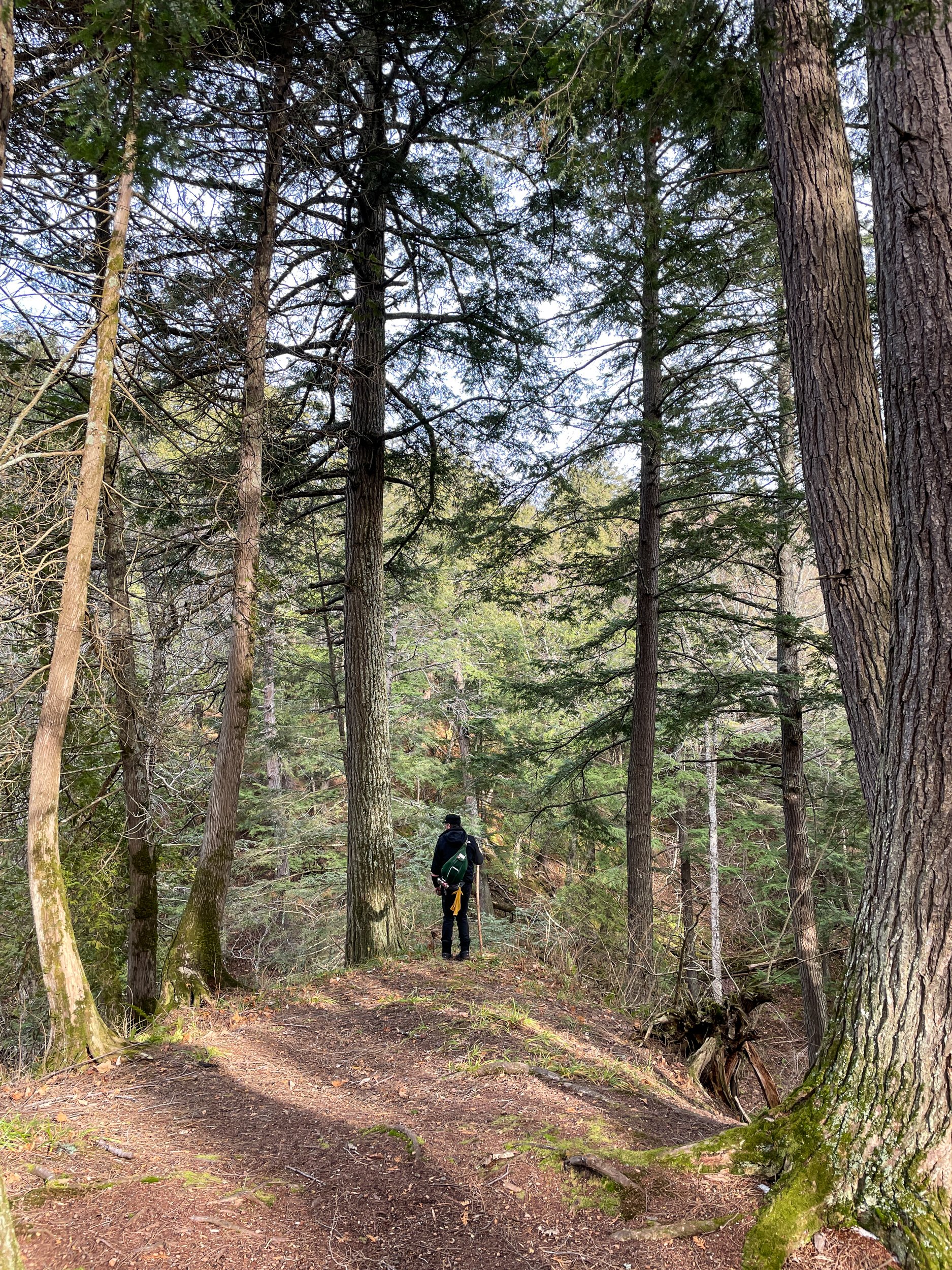
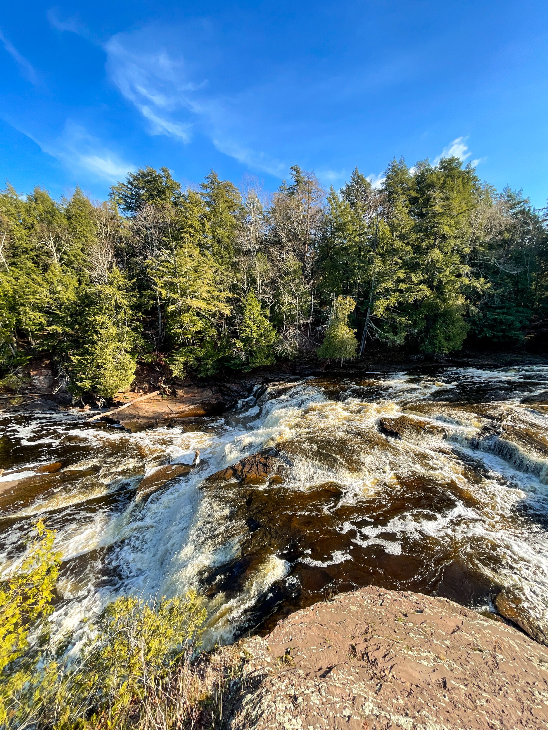
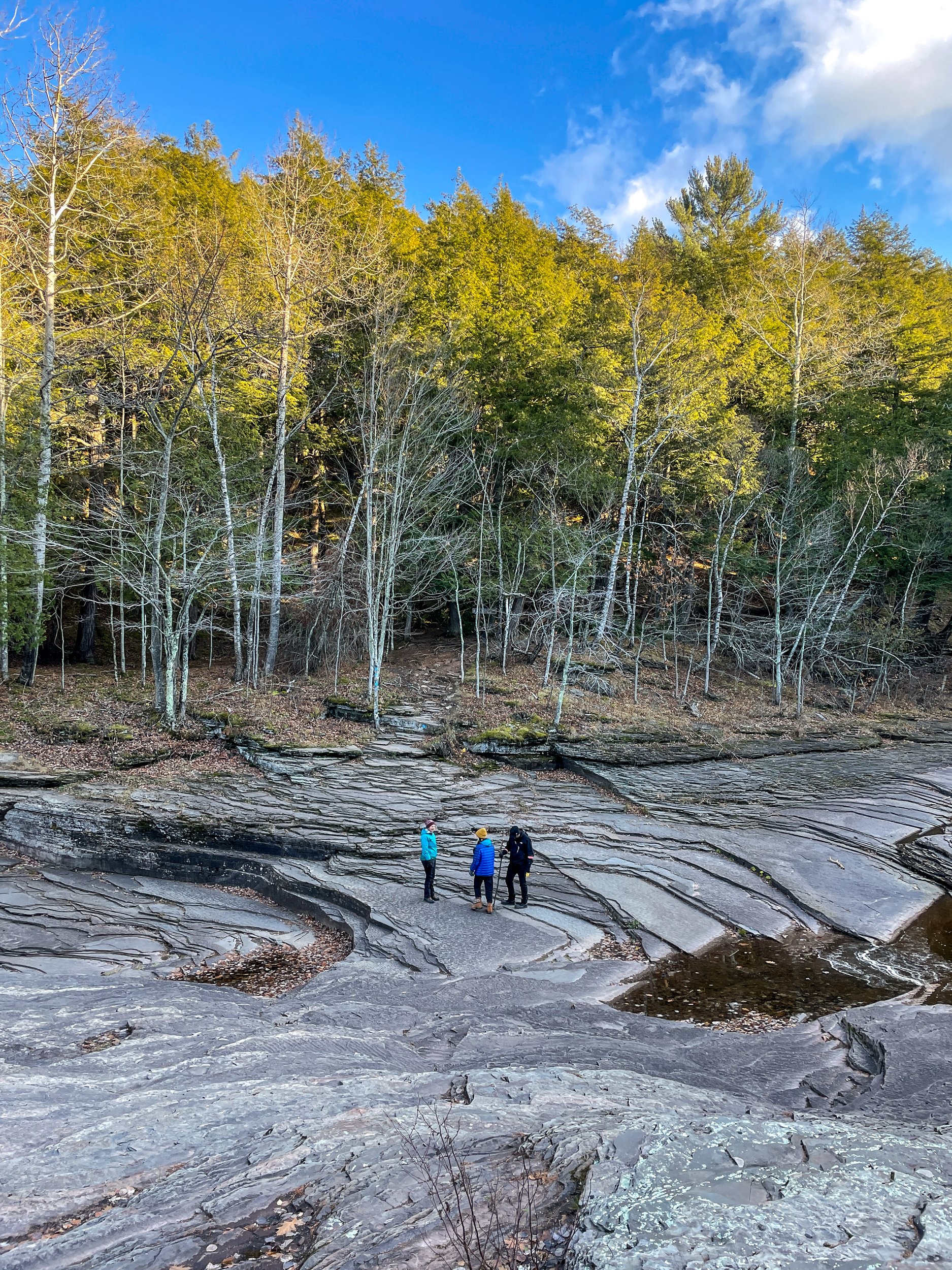
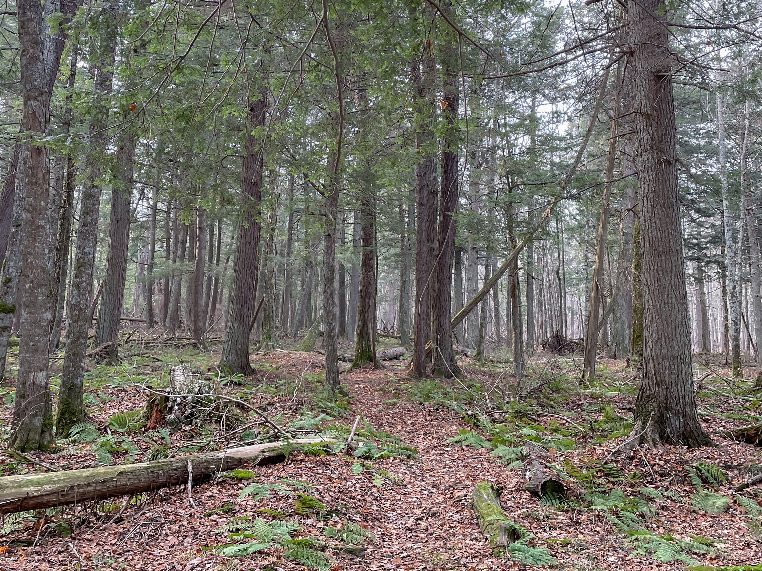
On the flip side, Speaker’s Cabin is the closest cabin to the Presque Isle side of the park. Personally, I highly recommend the hike from the cabin to the Presque Isle River and the waterfalls through the Hemlock forest. The trail from the cabin to the falls is lightly traveled through the moody forest. At approximately 5 miles round trip, it's a nice length to pack a picnic and lounge around the falls area.

Island Bay New Zealand

Last month we took advantage of the (now closed) travel bubble between Australia and New Zealand. Glad we brought all our stuff, cause we aren’t going back to Australia anytime soon!

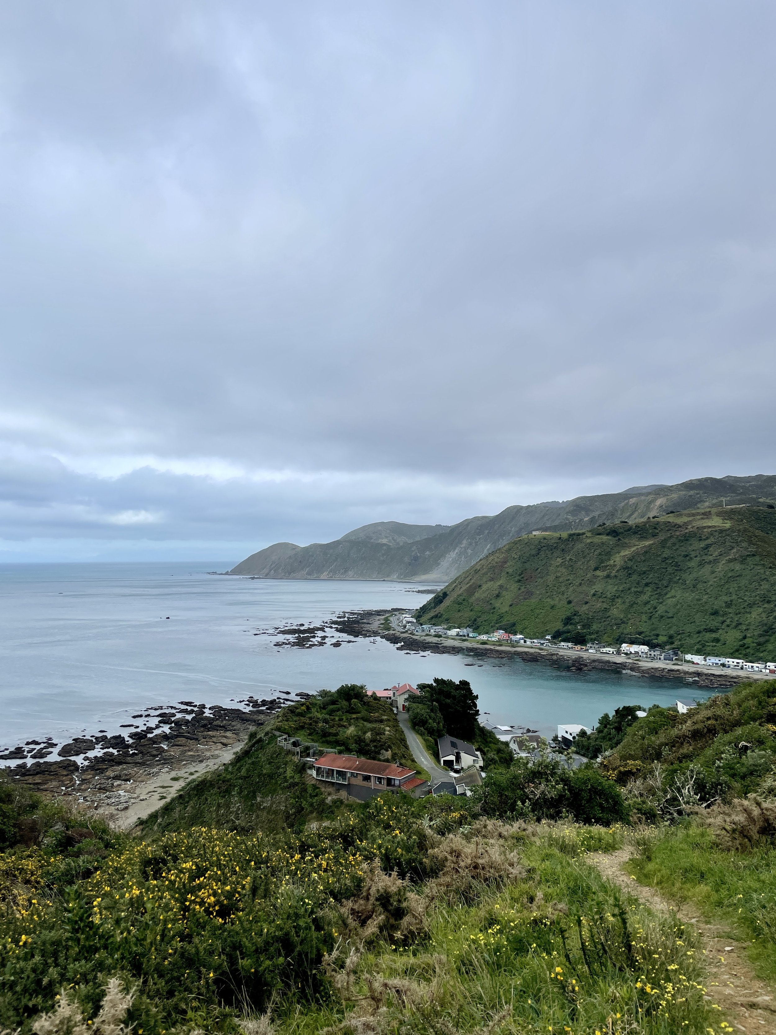
We’ve been living in Island Bay, a beautiful neighborhood of Wellington with views over the Cook Straight and the towering mountains of the South Island. We chose this neighborhood because many of our friends live nearby but I’ve fallen in love with the scenery. Raw nature abounds, as it does everywhere in New Zealand. It’s the start of the City to Sea walkway, the Red Rocks Coastal Walk, and the Taputeranga Marine Reserve

We do get some ripping southerlies that feel like our apartment is going to blow away. And it’s a New Zealand winter so it’s damp and cold, inside and outside… but I honestly like this weather. 

Gentle Annie Track

The COVID world tour continues. In April, Australia and New Zealand opened a travel bubble between the two countries. And despite a few outbreaks in Australia, the bubble is holding. 

NZ is hiking heaven. Everywhere you go there are trails to hike. And for the most part, they are all breathtaking. For example, today we drove about an hour outside of Wellington with no plan in mind. Wanting to stretch the legs we picked a random trailhead and started hiking.

There are a lot of entry points to the Tararuas providing access to the windswept ridges and lush valleys. Today we started at the Holdsworth Road End. At the road end, there are spots for car camping and the start of the Gentle Annie Track.

The track heads uphill for 2 miles to aptly named Rocky Lookout, a great place to enjoy snacks and soak in the view. From here we continued onwards to Mountain House Shelter. We were tempted to continue on to the summit of Holdsworth Peak but we started too late for that.

To make it a loop, we descended the River Ridge Track until we reached the beautiful Atiwhakatu Stream. Azure blue water coursed past us as we walked the last two miles back to the car. 

This 7-mile hike was a great reintroduction to New Zealand hiking. It has all the classic kiwi scenery I missed: lush fern-filled forest, crystal clear water, and unspoiled views.

If you go:

100km on the Heysen Trail

Desert backpacking is a new experience for me. Unless you count the brief stretch of the PNT that goes through dry cattle country, my backpacking experience has been in lush forests or alpine mountains with abundant streams. 

The Heysen Trail is a 1200km (750mi) trail that runs from the South Australian coast to the Ikara-Flinders Ranges National Park. Near the northern end is where we start our 100km section hike. And we get to join my brother in law who is thru-hiking approximately half the trail over the next month.

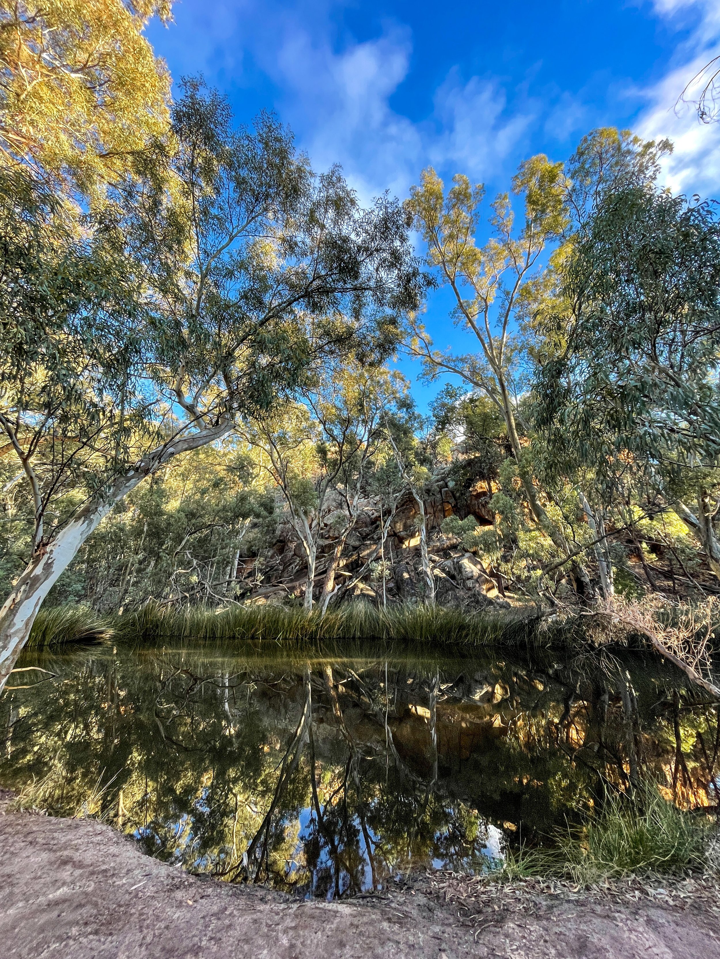
The scenery of the Flinders Ranges is more varied than the barren red Australian dirt I was expecting - mountains, pine forests, rocky ridgelines, and even water in a few glassy pools. It’s winter, which helps make the landscape lusher than in the brutal summer season. In fact, the Heysen Trail is only hikable in the winter because of the extreme summer heat.

Our hike is turning into a real family affair. My inlaws are camping at Wilpena Pound, our first camp spot. This means three things: A free car shuttle, a pre-set-up tent, and (most important) a hot meal waiting for us at the end of the day. This is good because the first day is 34km (21mi) of hiking. 

We start along a flat 4x4 road that stretches into infinity through the red dirt. Around lunch, we leave the plain and crest a ridge with views surrounding mountains. The rocks are some of the oldest on earth stretching back millions of years. The folds show just how much they’ve twisted and shifted over the eons.

Still no sign of Zac as we descend into a lightly forested valley. Around sunset, we arrive at camp. Zac has just beaten us there. There’s enough food here for a dozen people. Perfect. 😋

The next day we start with a walk across the Wilpena Pound. The pound is legendary for its steep sides and only 2 entry points. The circular geography makes navigation tricky. Tales of settlers (and hikers) who entered the pound and never came out are on all the signage. Exiting the pound gives us views over the southern ranges. The rest of the day’s walking is up and down over the haphazard terrain.

The next day we walk along a dry and scrabbly rocky river bed. It’s flat but slow going. We reach the Mayo Hut in the late afternoon. The old stone hut has been lovingly restored by the trail association and makes for a nice place to steep overnight. And no need to pitch the tent!

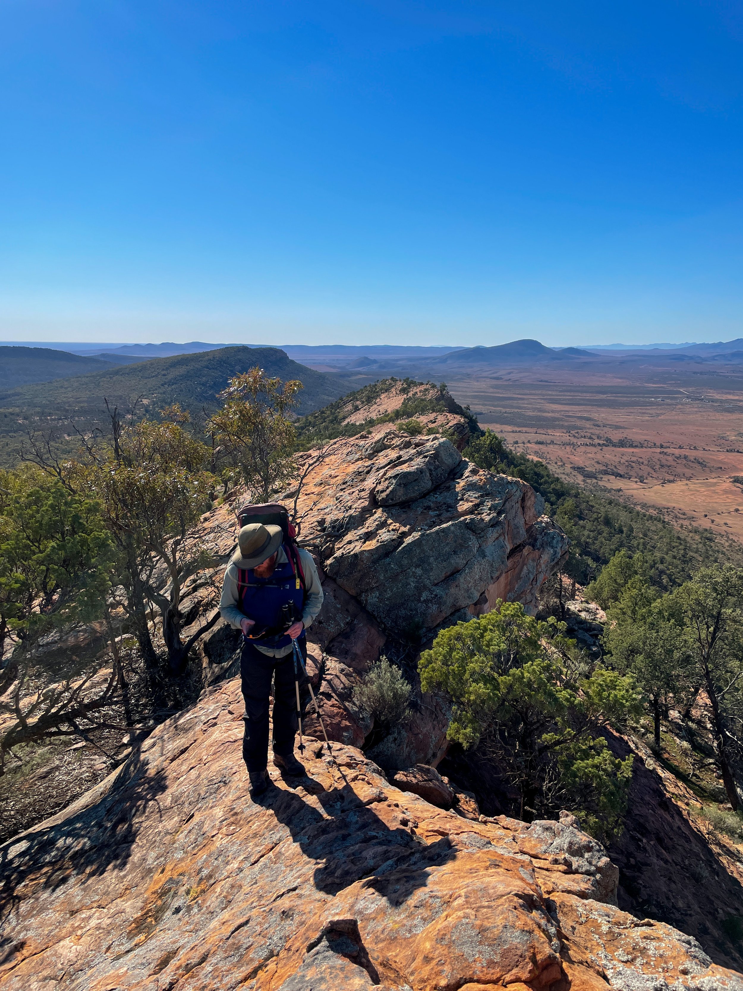
More riverbed walking. Ugh. But the payoff in the afternoon is worth it. Walking the ridge of Jarvis Hill is a stunning mix of scrambling, trail, and jaw-dropping views. It’s also the end of our walk. We take our time soaking in the red expanse stretching out miles into the distance.

It felt good to sling my pack over my shoulder for the first time since last fall in the Pecos Wilderness. The muscle memory of eat, sleep, hike repeat kicked in and got me fired up for a thru-hike again… someday.

Links:

Ice Age Trail (IAT) - Merrimac Segment

On the border of Devil’s Lake State Park sits a quiet section of the Ice Age Trail in the Merrimac Preserve. This section is 3.5 miles each way through oak savannah with views of the Baraboo Bluffs in the distance. In total, the Merrimac Preserve has ~10 miles of trail giving you many loop options. The few people and wide trails make this a favorite of mine for trail running.

Today I did an out and back parking at the IAT Merrimac Trailhead with my turnaround point at the IAT Roznos Meadows Trailhead. The Merrimac TH is almost always a better parking option. It’s less crowded and you don’t need a state park sticker.

For the first of November, the weather is surprisingly warm and sunny. The hike begins by walking through thick oak and hickory forest. After 1.5 miles you pop out into a meadow and cross a road getting good views of the bluffs. A bit past the trail junction, there is a warming hut for snowshoe and cross-country skiers. 

The rest of the trail is more open, with a boardwalk crossing a swamp and then back into the oak savannah. Roznos Meadows is surprisingly crowded today with cars parked along the shoulder of the road. The hikers must be heading into Devil’s Lake State Park because we’ve only seen a handful in the preserve. 

We turn around here and head back. Just before reaching the car, we are treated to a small garter snake sunning itself.  

Links:

Winter Walk to Emerald Lake

Emerald Lake-01462.jpg

It seems like I never go to Rocky Mountain National Park in the summer (not to hike anyway, we’ve driven the Trail Ridge Road a couple of times). I suppose it makes sense; it’s less crowded in winter and in the summer I’m usually backpacking somewhere I don’t need permits or to plan months in advance.

Anyway - Emerald Lake. It’s one of the more popular hikes so even though there was a ton of snow we didn’t need snowshoes, just microspikes, since the snow was packed down. It was super windy at Emerald Lake (I suspect common) but the sunny skies made it feel much warmer. For a short, ~3 mi out and back hike, it was nice to get out into the mountains, even if it’s only for a few hours.

If you go:

Winter Camping

I don’t winter camp. I love the idea in theory but in practice the long hours of darkness cooped up inside a tent just put me off it. Get me a hut with a woodburning stove and I’ll walk/ski/snowshoe miles back to it.

Living this close to the mountains it kills me that prime backpacking season is 3, maybe 4 months max. After a few weeks of coaxing I finally convinced K that we should try it. She’s from the desert, this is probably the last thing she ever saw herself doing.

Winter Camping-3693.jpg
Winter Camping-3702.jpg

At the Moffat Tunnel trailhead , the gateway to the James Peak Wilderness, there are some camping options within a mile of the trailhead. Seems reasonable, close enough to escape if we can’t handle it but far enough away to make it feel worth it.

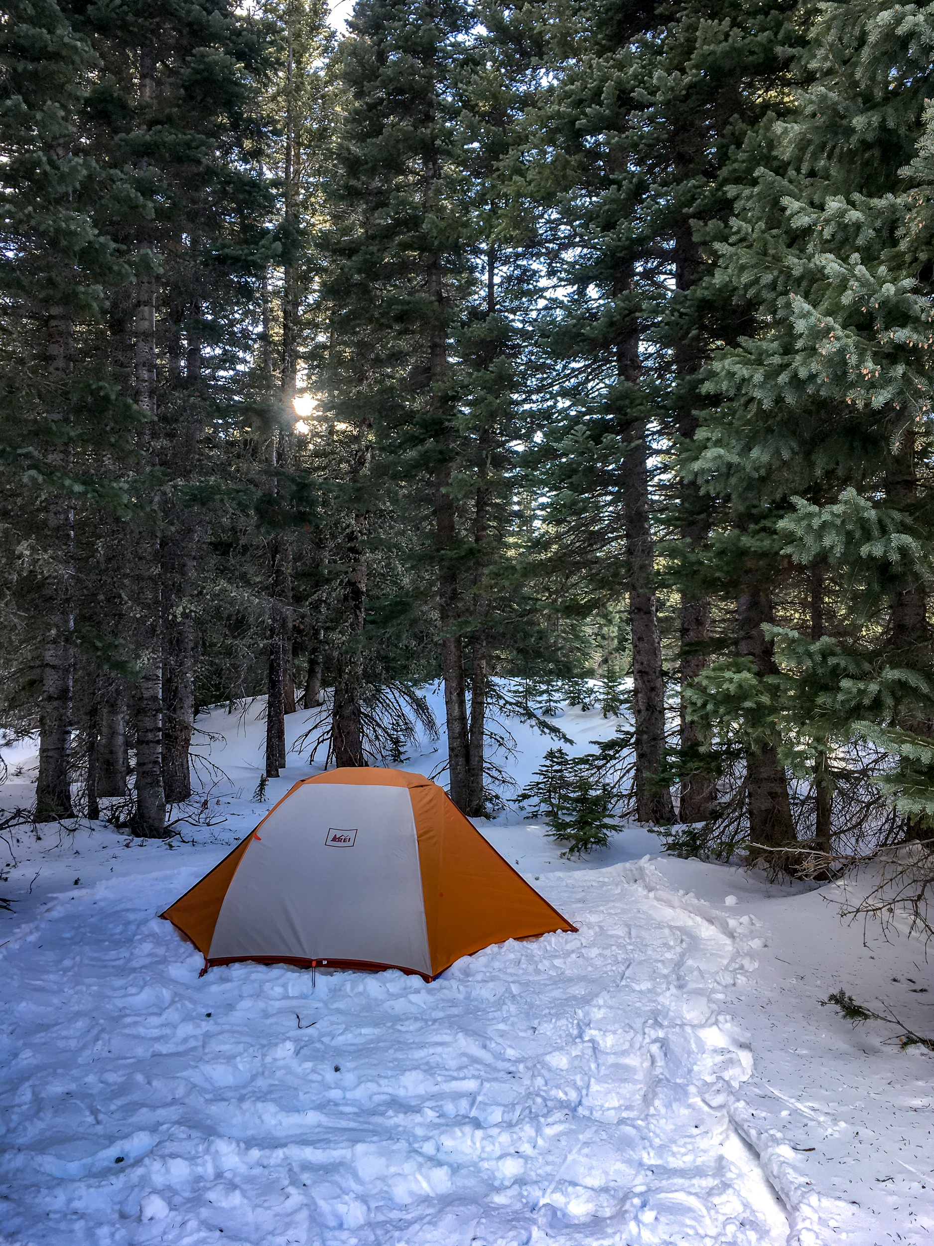
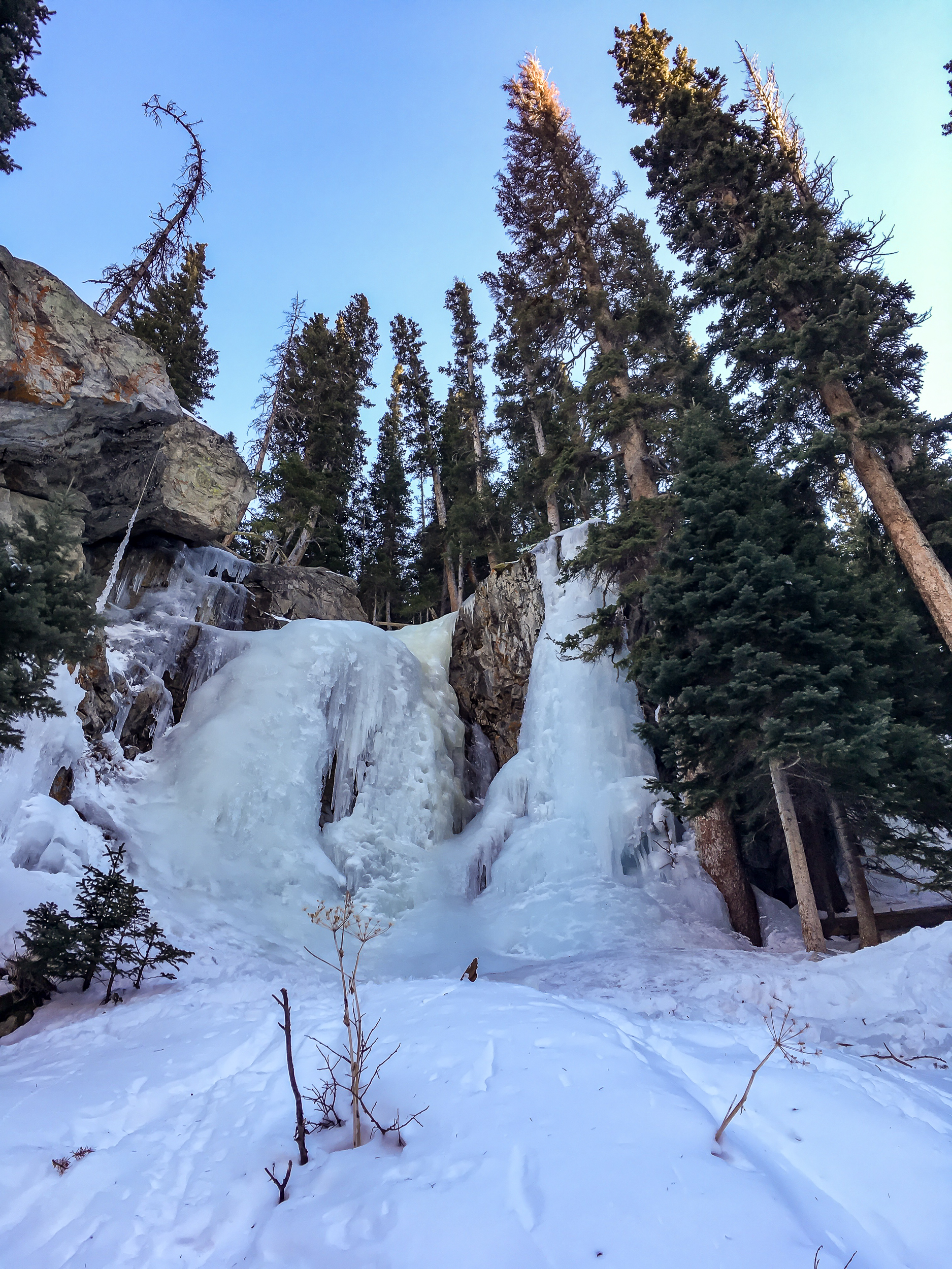
We headed in midday and found a nice spot between some pines and packed down a nice spot for the tent. After everything was all set up we snowshoed around the area and found a side trail leading up to a frozen waterfall.

About 4pm the sun set in our little valley and we got into the tent. Only 15 hours until the next ray of light…

The temps dropped to the teens and the wind howled through the trees but we stayed nice and cozy in the tent armed with books, crosswords and some warming stout.

I’d do it again, but I think I’d still take the hut and woodburning stove.

If you go:

Winter Camping-3709.jpg

Twin Sisters Peak

As winter closes in my range of hiking options shrink. Luckily the front range near Boulder stays snow free longer than the mountains farther west. In Rocky Mountain National Park the Twin Sisters Peak Trail is about 7 miles out and back and gets you to 11,427ft. It is straight up and straight back down. There are a few views along the way but it is mostly through the trees until the last half mile.

Twin Sisters Peak-01260.jpg

There was already snow on the trail and there were a couple dicey spots of ice (yep, I left my microspikes in the car…) on the way up but going slow it was doable. Once we got out of the trees the trail was clear. It was blue skies for miles and the views from the top were stunning.

Twin Sisters Peak-01268.jpg
Twin Sisters Peak-01264.jpg

Never Summer Wilderness Weekend

It feels appropriate to ring in the fall equinox in the Never Summer Wilderness. I wasn’t sure what to expect here having not read much about it (and really I shouldn’t be surprised) but, wow, it was an excellent trip. Scenery was top notch, it was only 2 hours from my door to the trailhead for an amazing weekend loop. And the bonus: from Boulder the fastest way is to take the Trail Ridge Road through Rocky Mountain National Park. Not. Bad.

Never Summer Wilderness-01017.jpg

We hit the trail the first day around 11ish (yes we are lazy). From the parking lot the trail skirts the side of the mountain until it intersection with the Bowen Trail, which is also part of the CDT! From here we began to climb up Bowen Gulch. Our total gain was 2,800ft over 8 miles but given the consistent increase it didn’t feel too bad. We split off the CDT onto the Bowen Lake Trail for the last 1.25 mi to get to Bowen Lake, a great place to set up camp and chill for a few hours before sunset. There were a few people around but it really wasn’t busy. The hike up was mostly through the forest, not much for long views but a very pleasant hike, especially with the aspens starting to change. Scenery at the lake opened up a bit and we could see the ridge we were taking the next day.

2018 Never Summer Wilderness-01039.jpg
Never Summer Wilderness-01050.jpg

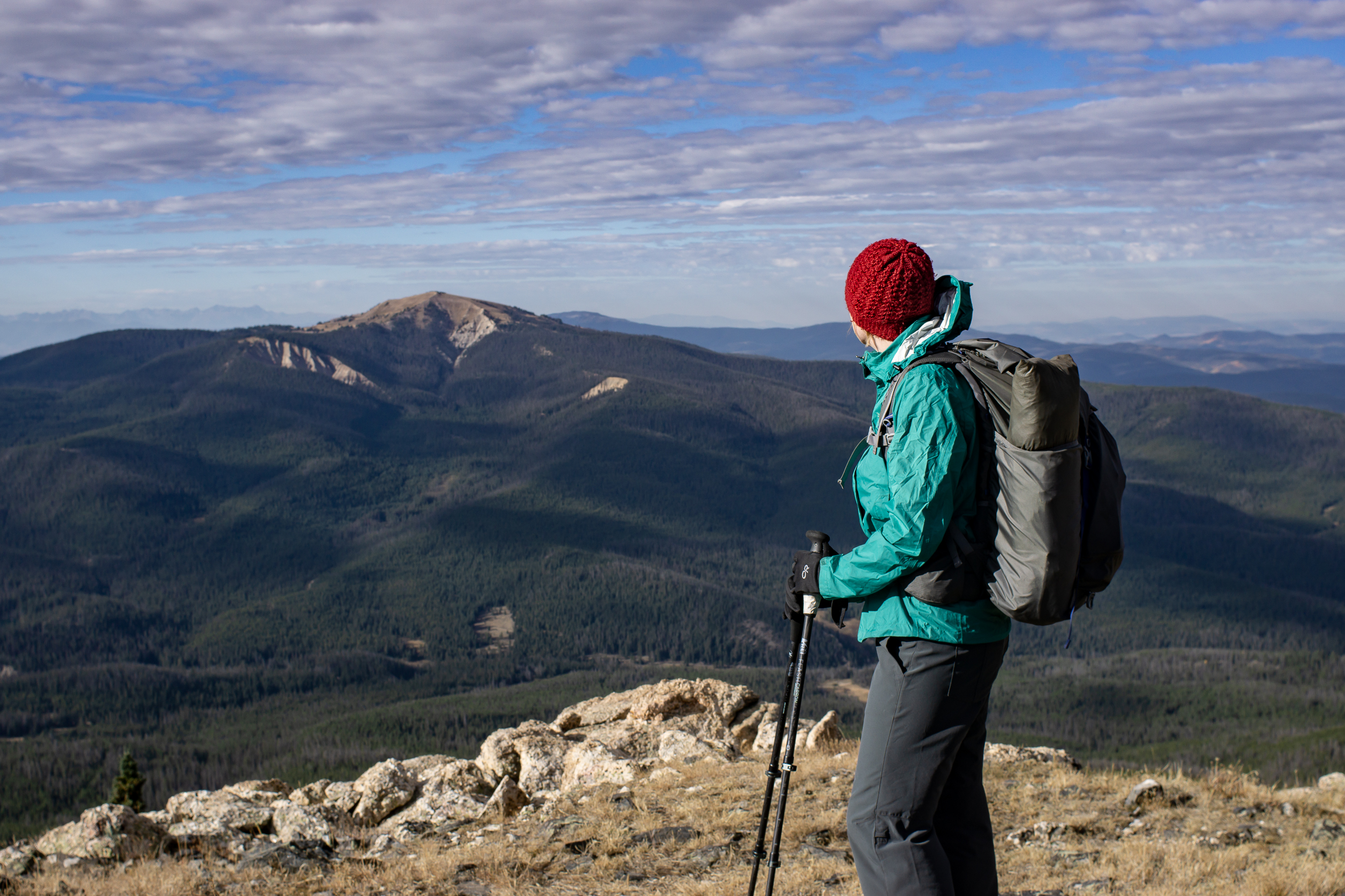
Day 2 we hit the trail early and got up onto the ridge behind Bowen Lake, the Cascade Mt Trail. The ridge section is about 4 miles and there are amazing views in every direction. And a summit of Cascade and Ruby Mt if you choose to (the trail itself goes just below the summits). The trail is easy to follow, in a few sections it became faint but since we were following a ridge, no problem.

Never Summer Wilderness-01086.jpg
Never Summer Wilderness-01078.jpg
Never Summer Wilderness-01111.jpg

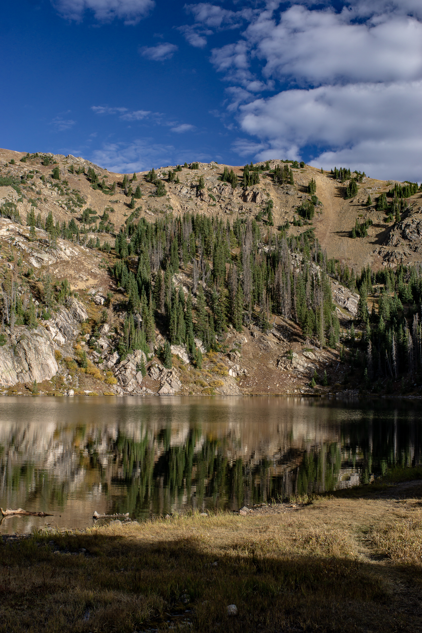
The ridge descends down to Bowen Pass and intersects with the CDT/Bowen Trail. We headed west on the CDT for a ¼ mile before the intersection of the Jack Park (?) trail. There is a small creek here and it provided a sunny spot for lunch. The trail winds up the side of Fairview Mt and after a mile we bore right at another unnamed trail junction. We headed up to the pass between Fairview Mt and Parika Peak getting good views along the way. At the pass we could see down to Parika Lake and the Baker Gulch, our way back to the car. Parika Lake is exposed and would make for a tough camp in windy weather if doing the loop in the other direction. There are more sheltered spots a bit farther down Baker Gulch near an unnamed lake at approx 11,000ft that would make a good camp. The walk out down the valley became mostly wooded and was similar to the Bowen Trail we took up.

Never Summer Wilderness-01171.jpg

Made it back to the car around 4pm, I was tempted to stop in Estes Park but I’m glad I was able to wait another 30 minutes to Lyons where we hit up the Oskar Blues Taphouse for a delicious burger and a beer.

If you go

Mt Bierstadt

My First 14er.

I’m not a peak bagger. I love getting a view but I’d much rather walk a ridgeline than summit something. However, it is rather embarrassing that I’ve lived in Colorado for over a year now and I haven’t hiked a 14er (aka a 14,000 ft mountain).

Mt Bierstadt seemed like a good place to start as it’s considered one of the easier 14ers. We got to the trailhead around 6am and it was already full. It was right around freezing and the boardwalks were slick with frost but once we got moving it was a beautiful clear day for hiking. Little patches of ice crunched under foot where the puddles were the day before.

2018-09-08 Mt Bierstadt-0566.jpg

The trail itself is well trodden and easy going, especially the first mile or so and we made good time. We hit the switchbacks as the sun started peeking over the ridge and then a short section of rock hopping and we were at the top. Snacks and views were consumed. The way down was a breeze. Lots of crowds were heading uphill, glad we got an early start.

2018-09-08 Mt Bierstadt-0612.jpg

The overall elevation gain is ~2,600, which isn’t that different from a lot of day hikes I do but getting up to 14,000ft certainly makes it more challenging. I recorded a trip time of just over 4 hours including a 20 min break at the top, 7.25 miles total.

If you go:

Guanella Pass TH

Trail Map: Caltopo / Gaia