Speakers Cabin Porcupine Mountains

If you want a minimal effort, maximum backwoods fun trip Speaker’s Cabin has you covered.

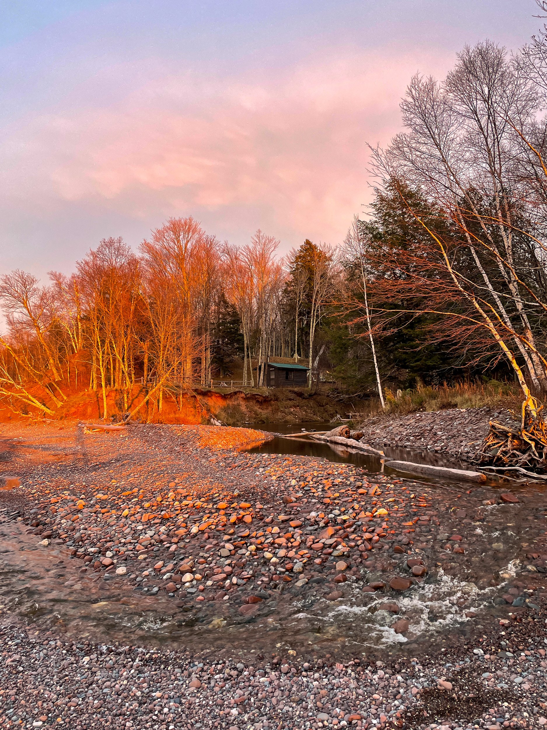
It’s just under a mile walk to your own private cabin on Lake Superior. You can’t really go wrong with any cabin in the Porkies, but Speakers Cabin, IMO, has the best view, the easiest walk-in, and privacy.

The last time I was here was 6 years ago. For the most part, it’s the same setup. There was a flood of Speaker’s Creek in 2016 which caused erosion along the creek edge. After this, the cabin was moved back 20 feet from the creek to avoid future floods. The great news, the zombie flies I mentioned before have abated significantly. 

This weekend we are here with 2 other friends putting us at the 4 person limit. Speakers is a nice size for 4. Space to cook, a woodstove for heat, a big table, and 4 bunks. Wood for the fire is gathered from around the cabin. Thankfully the last group left us a decent amount of dry wood and we returned the favor for the next group.

Although I've yet to use it, my favorite part is the fire ring overlooking Lake Superior. On a cool night, it would be epic to watch the stars or northern lights around the fire. In the summer, the creek and lake would be great for swimming.

The downside of Speakers is that it’s a bit cut off from the main trail system. It’s possible to hike anywhere in the park from the North Country Trail, the trail running by the cabin, but getting to the heart of the park is a long journey.

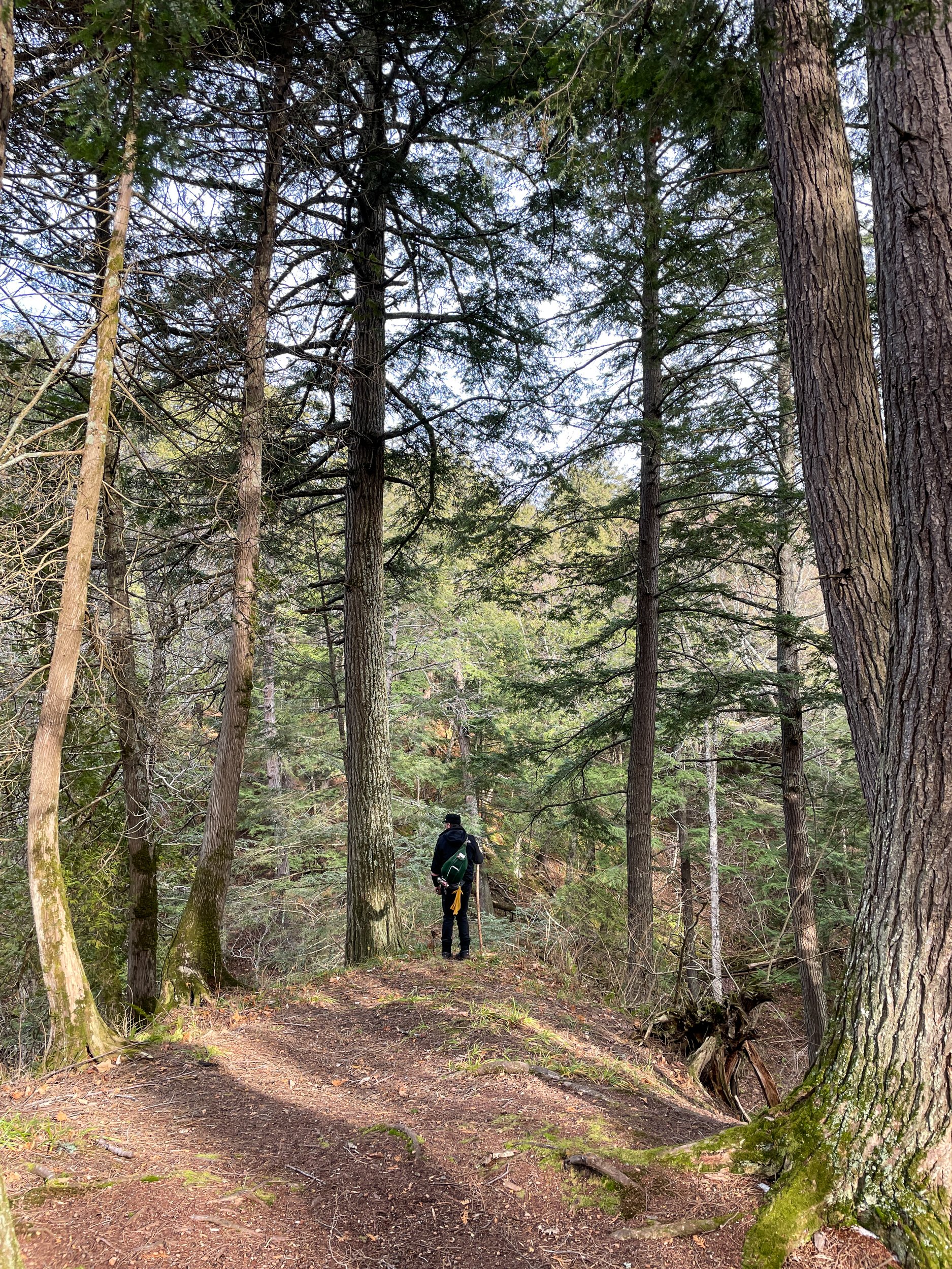
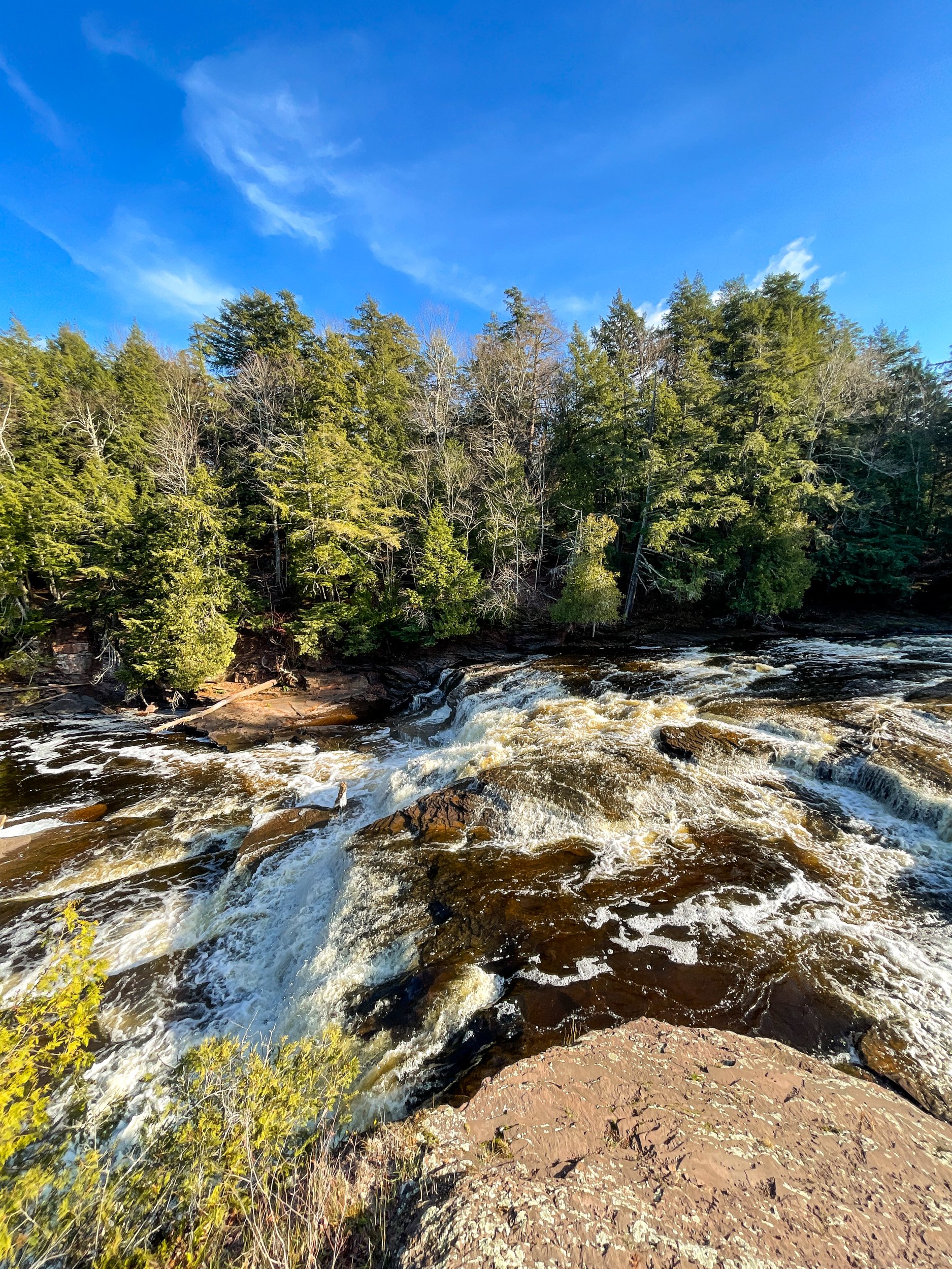
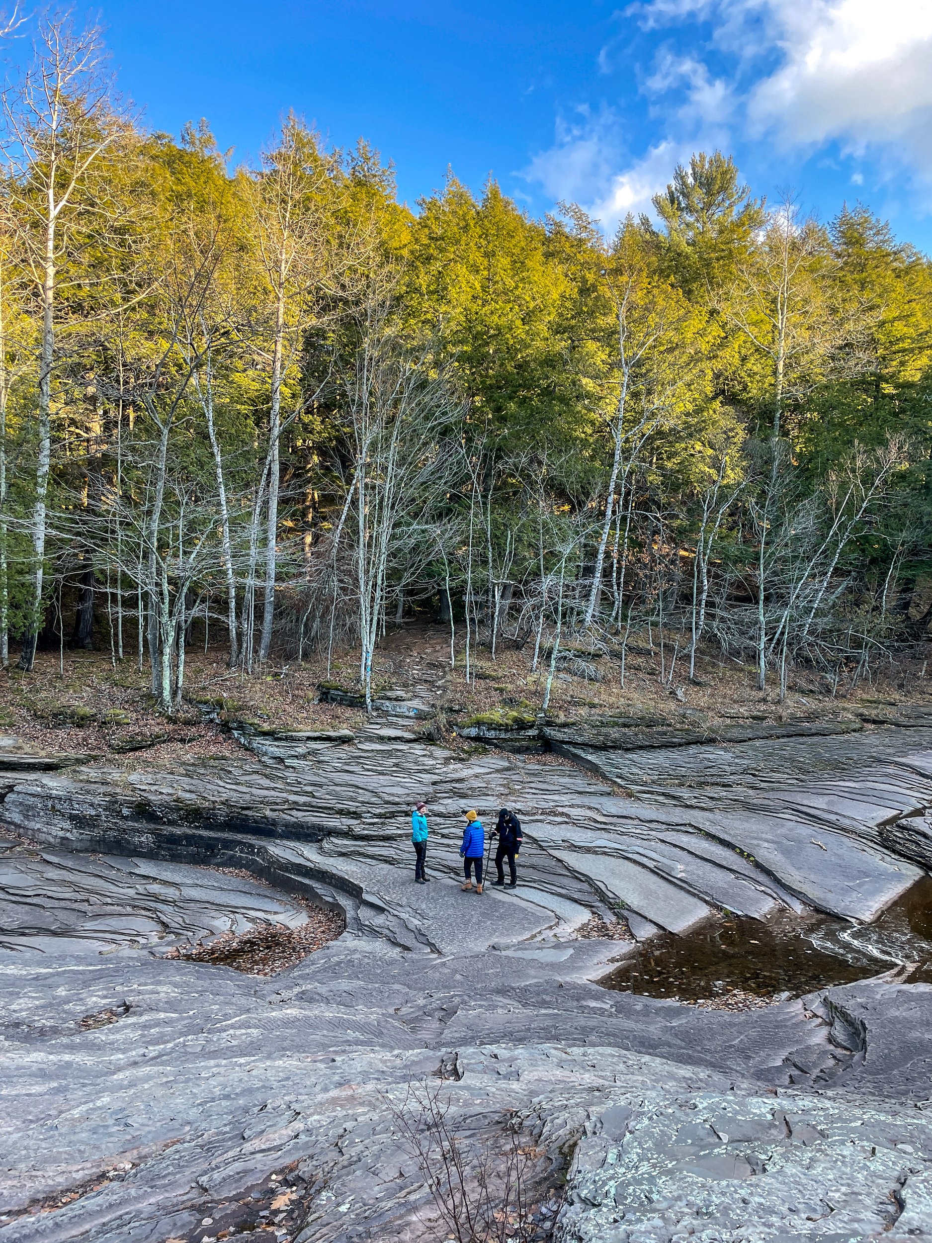
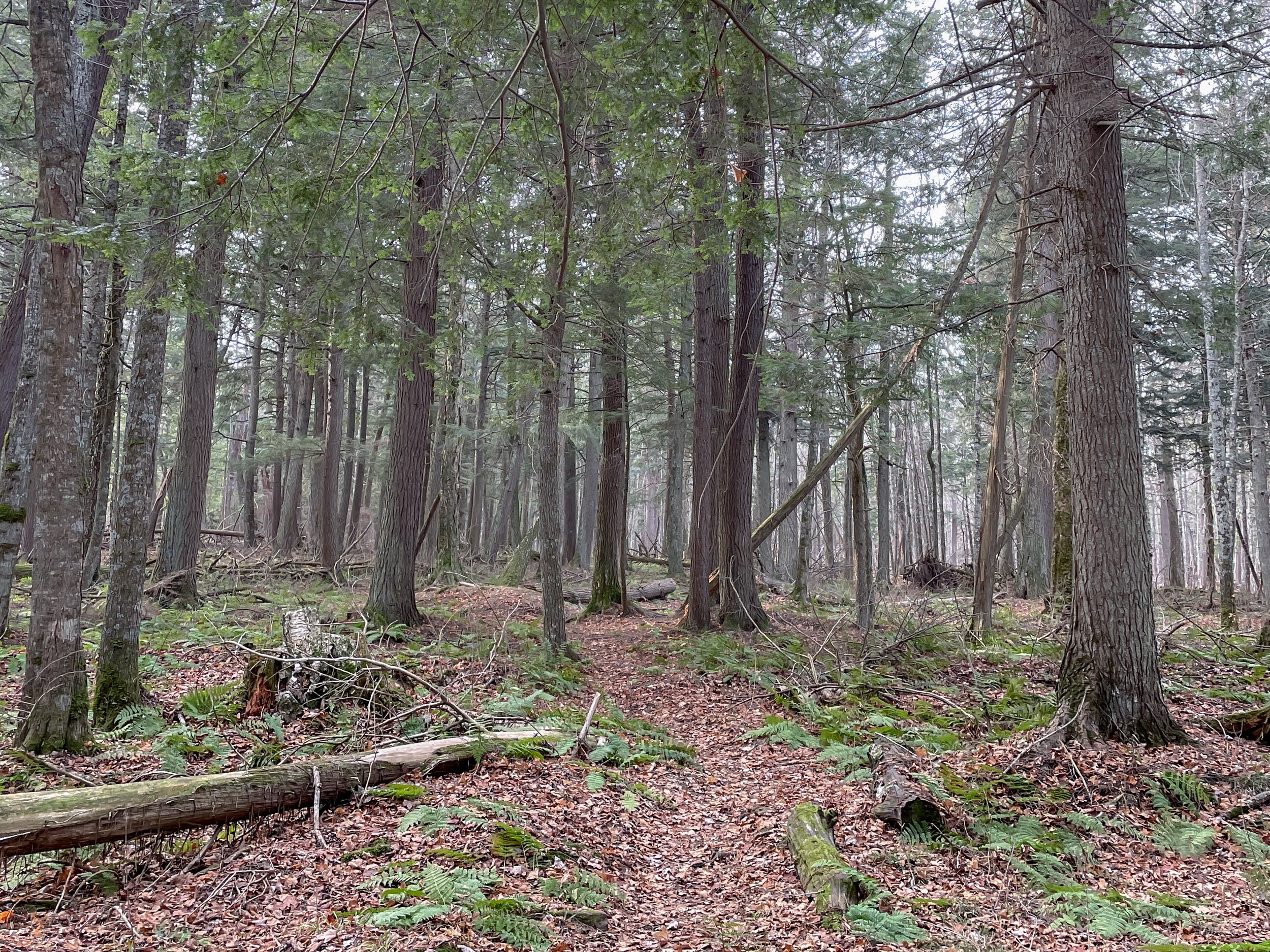
On the flip side, Speaker’s Cabin is the closest cabin to the Presque Isle side of the park. Personally, I highly recommend the hike from the cabin to the Presque Isle River and the waterfalls through the Hemlock forest. The trail from the cabin to the falls is lightly traveled through the moody forest. At approximately 5 miles round trip, it's a nice length to pack a picnic and lounge around the falls area.

6 Days in the Pecos Wilderness

It’s been a year since I’ve been backpacking. A whole year. 😢

With the pandemic and being extremely busy at work, backpacking in 2020 seemed like a lost cause. Then my friend, Eric, texted a fully worked-out route in the Pecos Wilderness . All I needed to do was show up. After a bit of juggling, I managed to get the time off. Away I went!

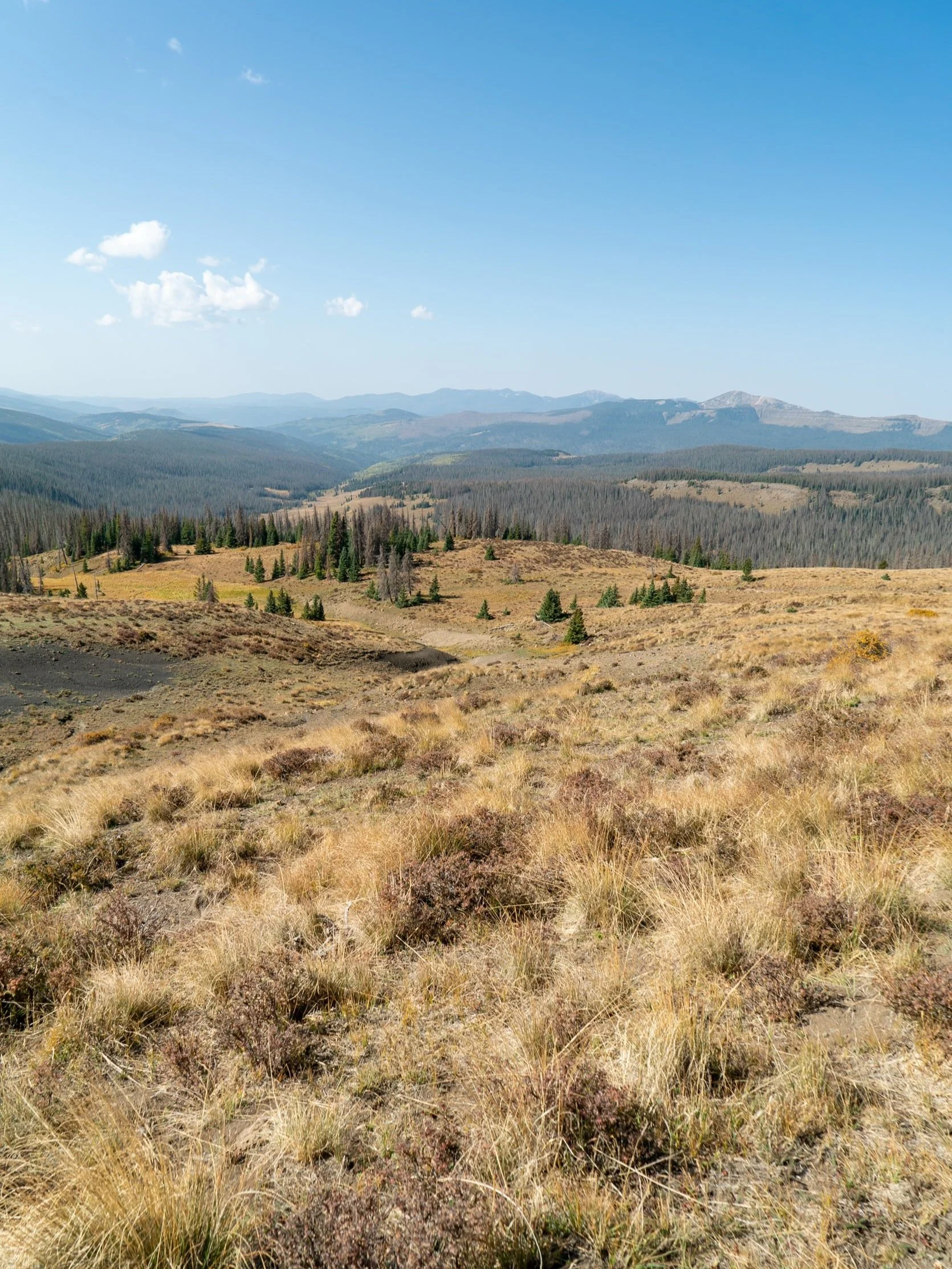
Our route was a touch over 36 miles. Lots of high elevation ridgewalking, views, and alpine lakes. Perfect! In total, our trip was 6 days with a rest day in the middle. The pace was great for the shorter and cooler days at the end of September. Plenty of time to rest and soak in the views. And for Eric’s 9-year-old canine Daisy to hike with us.

The night before we started we camped at Jack’s Creek Campground. An excellent jumping-off point .5 miles from the trailhead. It had been two years since I saw Eric, but pulling into the campground his old familiar Tarptent was easy to spot amongst all the RV setups.

The first day began with a climb and leveled once we were up on the ridge. The ridge was mostly through active grazing land at the start with our first views. Then it changed to an aspen forest before dropping into the Pecos River valley. Right before the descent, there was a spectacular cliff viewpoint. This would make a great dry camp, but we pushed on a little further.

On day 2, we continued our hike up the Pecos River. The hiking was mostly through the forest. Pecos Falls served as a scenic spot for lunch. As we climbed higher along the Valdez Trail, the weather turned to drizzle with thunderstorms in the distance. Around dinner, there was a quick break in the weather allowing us to set up camp and shovel down some food before the next round.

The next morning we woke up to a magical (and extremely cold) frost inside and outside of our tents. We decided to break camp as fast as possible and high tail it to the ridgeline for breakfast in the sun. The rest of the day was entirely along the ridgeline with phenomenal panoramic views in every direction. There was a mix of trail and cross country travel, but it was easy to navigate. We ended the day at Truchas Lake, which we had all to ourselves.

The clear alpine lake was a perfect spot for a rest day. We spend the morning basking in the sun around the lake, reading and watching the world go by. In the afternoon, we explored the upper lake and boulder field. Chirping pikas and marmots were busy preparing for the nearing winter. The weather was stunningly warm for late September.

Day 5, back on the trail. Another sunny day almost entirely of ridgewalking and 360-degree views. We found a stunning spot in the sun and out of the wind for a 2+ hour siesta. Dropping off the ridge, we camped at Pecos Baldy Lake with views of East Pecos Baldy.

On day 6, we did a morning summit of East Pecos Baldy, about 1,000ft above the lake. Then back to camp for lunch. It’s another stunning late September day. The aspens' full yellow foliage is on display. We get to the car in the late afternoon, sip a post-hike beer, recap the trip, and part ways.

Overall I'd highly recommend this route. I enjoyed going counterclockwise to warm up my legs through the forested section and get the spectacular ridgewalking in the second half of the trip. However, either direction works. Best to tailor your trip to time the ridge walking with the clearest weather window for the views. At 36.5 miles you certainly could do it faster if you don’t have a full week. Many thanks to Eric for planning and getting me back out there. And to Daisy who was the best hiker in the group!

If you go:

The Mighty, Magnificent and Remote Pasayten Wilderness

A version of this post appears on The Trek, which you can read here

A crack of thunder and a bolt of lightning is how we started our section in the Pasayten Wilderness. Minutes after arriving at the Cold Springs campground the sky opened up and hail started dropping at a fevered pace. Five of us thru-hikers huddled under the shelter of the campground’s privy, each muttering a silent prayer that our tents would hold up to the onslaught.

DSC02831.JPG

To get to Cold Springs we had a daunting, treeless 25 miles of paved road to walk. Luckily, it was cloudy for most of those miles. But almost as if on cue the sun came out for our 5,000-foot ascent on the barren Chopka Grade Road. So a few hours later when the temps dropped 20 degrees and hail started falling I wasn’t even mad. In fact it felt awesome; we had finally entered the Pasayten.

DSC03232.JPG
DSC03057.JPG

The next day the temps hovered in the low 50s. A few miles from camp the views started to open and the vastness of the wilderness in front of us became clear. I particularly enjoyed the slow build of the geography in this section. At first the mountains are smaller and tree lined. By the end they are glacier capped giants.

DSC02990.JPG
DSC02926.JPG

Unfortunately, a large section of this wilderness has been burned by wildfires in the last few years, but luckily the PNT trail crews have been hard at work clearing many of those blowdowns.

DSC03062.JPG
DSC03000.JPG

That’s not to say the trail is clear by any means (this is the PNT). One section of trail had an epic “jungle gym” of blowdowns. I had quite a bit of fun crawling, hurtling, and falling over and under them. Honestly, this kind of stuff is why I love this trail. River crossings, route finding, and cross-country traversing are my favorite things about backcountry travel.

DSC03083.JPG

The worst blowdown section came a few miles before the PNT briefly overlaps with the PCT. We joked as we hopped over fallen trees and tried to find whatever was left of the trail that the PCT would have the best tread, the flattest campsites and James Beard nominated chefs as trail angels. Turns out the first two are true (sadly the chefs must only donate their time on the weekends).

DSC03131.JPG

It was a bit of a culture shock to be on such a busy trail. There were other hikers in our camp! Outrageous. In the 45 days we’ve been on the PNT we’ve met 19 other thru-hikers. In the half day we were on the PCT we met 32 PCTers. The giddy excitement in their eyes being only a few miles from the Canadian border both pumped us up and made us realize we still have a long way to go in our journey.

DSC03242.JPG

We said goodbye to the PCT and resumed our trek jumping blowdowns, searching for trail, and taking in jaw-dropping views all by ourselves.

DSC03068.JPG