Desert backpacking is a new experience for me. Unless you count the brief stretch of the PNT that goes through dry cattle country, my backpacking experience has been in lush forests or alpine mountains with abundant streams.
The Heysen Trail is a 1200km (750mi) trail that runs from the South Australian coast to the Ikara-Flinders Ranges National Park. Near the northern end is where we start our 100km section hike. And we get to join my brother in law who is thru-hiking approximately half the trail over the next month.
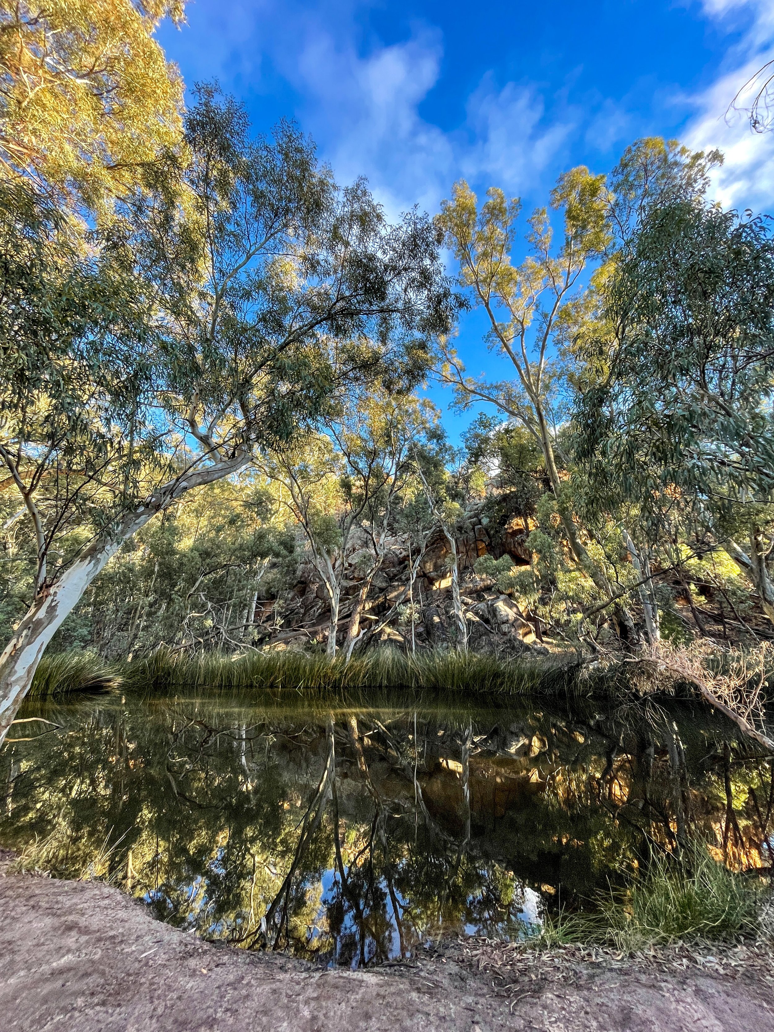
The scenery of the Flinders Ranges is more varied than the barren red Australian dirt I was expecting - mountains, pine forests, rocky ridgelines, and even water in a few glassy pools. It’s winter, which helps make the landscape lusher than in the brutal summer season. In fact, the Heysen Trail is only hikable in the winter because of the extreme summer heat.
Our hike is turning into a real family affair. My inlaws are camping at Wilpena Pound, our first camp spot. This means three things: A free car shuttle, a pre-set-up tent, and (most important) a hot meal waiting for us at the end of the day. This is good because the first day is 34km (21mi) of hiking.
We start along a flat 4x4 road that stretches into infinity through the red dirt. Around lunch, we leave the plain and crest a ridge with views surrounding mountains. The rocks are some of the oldest on earth stretching back millions of years. The folds show just how much they’ve twisted and shifted over the eons.
Still no sign of Zac as we descend into a lightly forested valley. Around sunset, we arrive at camp. Zac has just beaten us there. There’s enough food here for a dozen people. Perfect. 😋
The next day we start with a walk across the Wilpena Pound. The pound is legendary for its steep sides and only 2 entry points. The circular geography makes navigation tricky. Tales of settlers (and hikers) who entered the pound and never came out are on all the signage. Exiting the pound gives us views over the southern ranges. The rest of the day’s walking is up and down over the haphazard terrain.
The next day we walk along a dry and scrabbly rocky river bed. It’s flat but slow going. We reach the Mayo Hut in the late afternoon. The old stone hut has been lovingly restored by the trail association and makes for a nice place to steep overnight. And no need to pitch the tent!
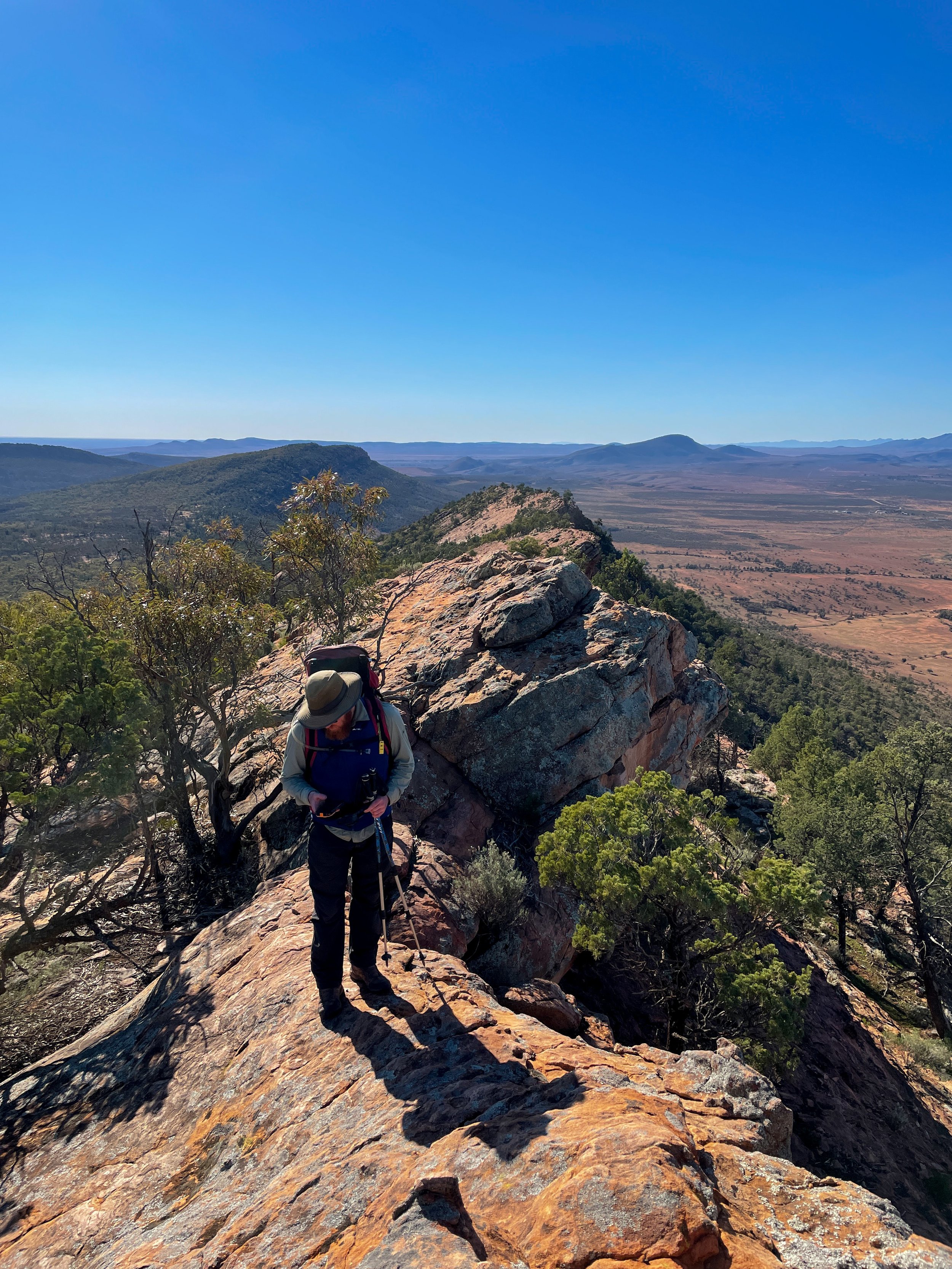
More riverbed walking. Ugh. But the payoff in the afternoon is worth it. Walking the ridge of Jarvis Hill is a stunning mix of scrambling, trail, and jaw-dropping views. It’s also the end of our walk. We take our time soaking in the red expanse stretching out miles into the distance.
It felt good to sling my pack over my shoulder for the first time since last fall in the Pecos Wilderness. The muscle memory of eat, sleep, hike repeat kicked in and got me fired up for a thru-hike again… someday.
Links:
Route (Gaia GPS)
Trailhead Brachina Gorge Rd (Google Maps)
Trailhead Jarvis Hill Lookout (Google Maps)


