Waterfall Gully & Mt Lofty Hike

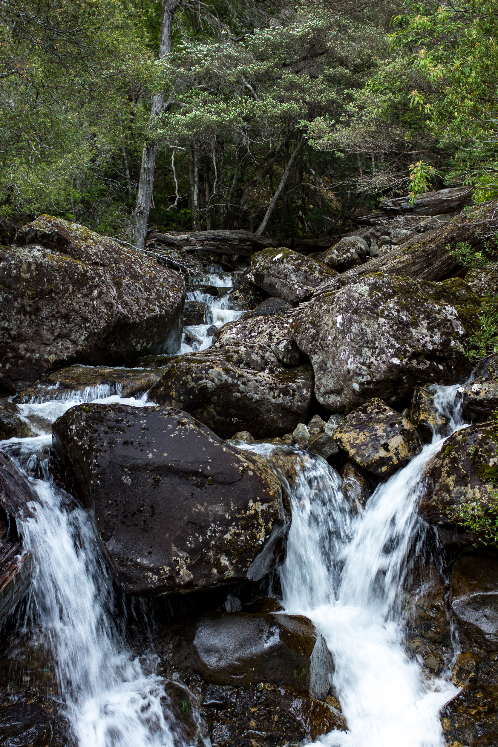
Adelaide’s a hot, dry city, but the hills offer respite on a sweltering day. And the aptly named Waterfall Gully offers waterfalls tucked in amongst the greenery. It’s part of a larger trail network that weaves through the Adelaide hills.

For this hike we started at Measday’s Lookout and hiked down the second and first falls. After that we steeply climbed up to Castle Rock and got a nice view down the valley. Then we worked our way past Cleland Wildlife Park and up to the summit of Mt Lofty.

It was hot out and we appreciated grabbing a cold drink at the full service cafe at the Mt Lofty lookout. Sadly the views from the top were hazy. The way down was through shaded gum trees with occasional views of the city and ocean below. Overall a fun 5.75 mile hike and I’d certainly love to come back and hike the other trails in the area.

If you go:

Meander Falls & Split Rock Circuit

Ringing in the New Year by… surprise… hiking! Tassie is really great for day hikes and there are a lot of them within an hour or two of Launceston where our family lives.

Today we are heading to the Western Tiers to do the Meander Falls and Split Rock Circuit.

Blog 2017-01 MeanderFalls-4376.jpg
Blog 2017-01 MeanderFalls-4392.jpg

The first part of the trail to Meander Falls follows the Meander River up to the falls. The tread is rocky but easy to follow. As we went up the trees started to thin and we got peeks of the falls in the distance.

Blog 2017-01 MeanderFalls-4386.jpg

At the base of the falls there is a small pool, which if it was warmer would be nice for a swim/soak. The falls themselves are quite dramatic and much larger than I had anticipated. Cool.

Blog 2017-01 MeanderFalls-4407.jpg

The map indicates that the trail continues up to the top of the tier behind the falls but there isn’t any evidence of the track. We tried in a few places to locate the trail but with no luck. If you were determined it would be doable to get up to the top but it would be slow going as it is very steep here.

To head back via the Split Rock trail we headed down the trail we came up about ⅓ of a mile. There is a sign at the trail junction (somehow we missed it on the way up). The faint trail heads over the river which is easy to rock hop across but recent rains could change that so keep that in mind.

Blog 2017-01 MeanderFalls-4430.jpg

After crossing the river the trail heads up a scree slope. Cairns can help guide you but it’s fairly easy to see where to go (aim for the saddle at the top of the scree). There are great views from the saddle. We chose not to scramble up Meander Crag but it could make for a quick side trip.

Blog 2017-01 MeanderFalls-4454.jpg
Blog 2017-01 MeanderFalls-4444.jpg

Heading down the other side through a smaller scree field we were able to follow the cairns and pick up the trail as it entered the forest. The forest is much more lush on this side and we passed numerous small cascades and falls along the way down.

Blog 2017-01 MeanderFalls-4467.jpg
Blog 2017-01 MeanderFalls-4476.jpg

Make sure you take the longer more winding trail vs the “main” Split Rock trail to see these. The trails rejoin shortly after the falls and eventually the aptly named Split Rock is reached. The trail became less steep as we got closer to the car.

Blog 2017-01 MeanderFalls-4481.jpg

A really nice walk with a little of everything: Dry(ish) forest, falls, scree scrambling, long views and rainforest.

If you go: