Twin Sisters Peak

As winter closes in my range of hiking options shrink. Luckily the front range near Boulder stays snow free longer than the mountains farther west. In Rocky Mountain National Park the Twin Sisters Peak Trail is about 7 miles out and back and gets you to 11,427ft. It is straight up and straight back down. There are a few views along the way but it is mostly through the trees until the last half mile.

Twin Sisters Peak-01260.jpg

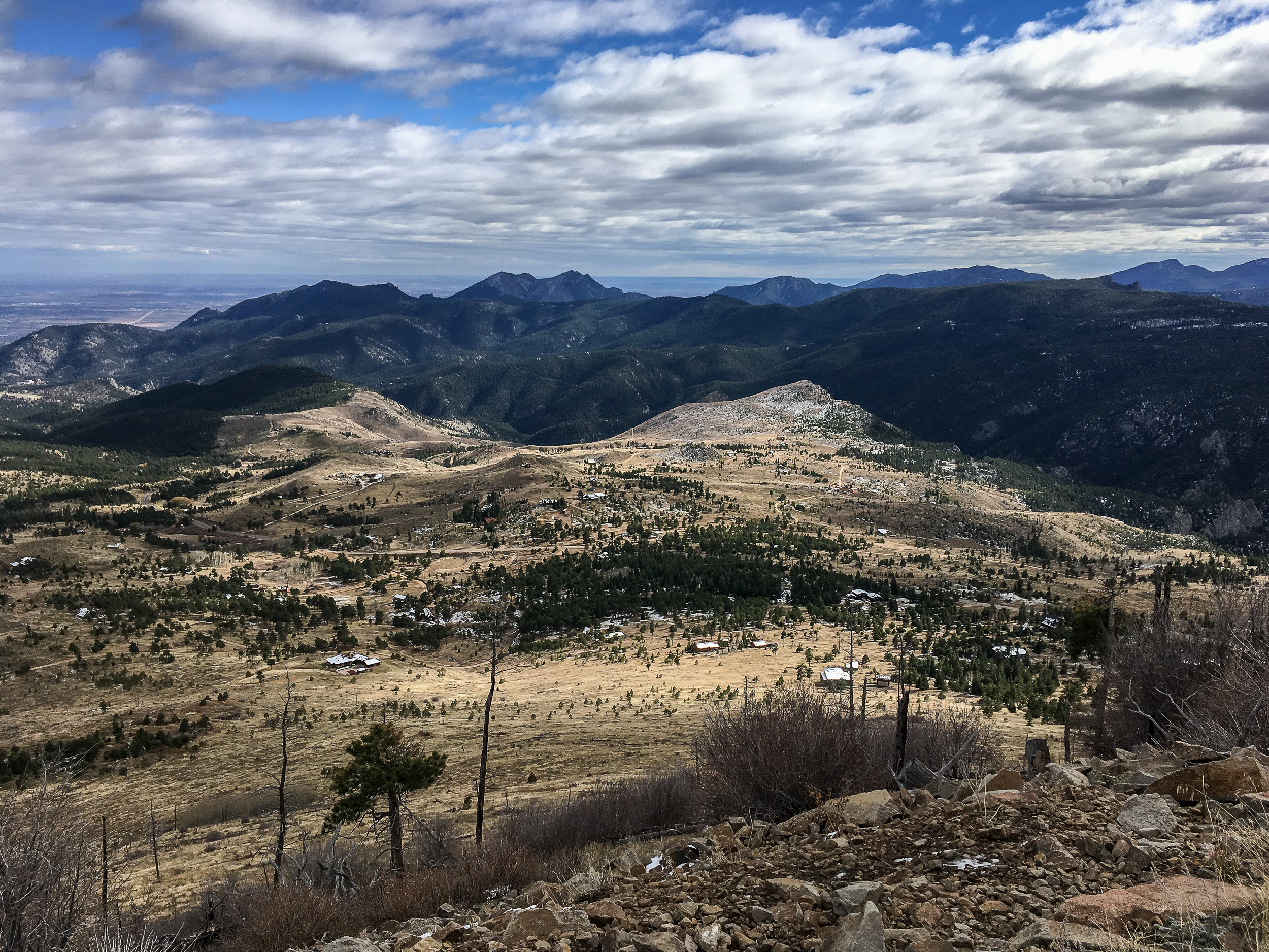
There was already snow on the trail and there were a couple dicey spots of ice (yep, I left my microspikes in the car…) on the way up but going slow it was doable. Once we got out of the trees the trail was clear. It was blue skies for miles and the views from the top were stunning.

Twin Sisters Peak-01268.jpg
Twin Sisters Peak-01264.jpg

Boulder Skyline Traverse

2018-05 Skyline-09976.jpg

The Skyline Traverse is an iconic Boulder hike/trail run. There are a number of routes you can take but the essence of the traverse is to summit the 5 highest peaks in the Flatirons. It’s a beast; depending on your route it’s at least 16 miles and 6,000ft of elevation gain.

Going south to north the peaks are South Boulder Peak, Bear Peak, Green Mountain, Flagstaff Mountain, and Mt Sanitas. Doing a car shuttle is an easy 15-20 minute drive. Another option is to take the RTD SKIP. The SKIP runs north and southbound along Broadway. It drops off at the Shanahan Ridge trailhead (our southern starting point) and is about a 10 minute walk from the Dakota Ridge trailhead (our northern ending point). Total bus journey & walking is about 35 minutes.

Since we live in the shadow of Mt Sanitas we opted for the RTD SKIP option. Stepping off the bus we were treated to a nice view of Bear Peak, the first and possibly hardest test of the day. To get to the top of Bear Peak there is almost 3,000ft of elevation gain, about half of the day’s total. We did Bear Peak last summer and it is a great hike on its lonesome if you don’t have the time or energy to do the whole traverse. After walking through the open space the trail ascends the rugged, steep and (thankfully) shaded Fern Valley trail for the first part of the climb. The trail then pops out of the forest onto the Bear Peak ridge for the last 1,000ft of the climb. Peak #1 down!

2018-05 Skyline-09999.jpg

To get to South Boulder Peak, the high point of the day at 8,549ft we scrambled down from Bear Peak and onto the short exposed trail that goes across the saddle between the two peaks. Then up and over some boulders to claim the summit. Peak #2 down!

Retracing our steps back past Bear Peak we headed down the Bear Peak West Ridge Trail. I really enjoyed this section of trail with great views of the continental divide to the west.

2018-05 Skyline-00010.jpg

We were so taken by the views we almost stepped on a huge snake! After the free shot of adrenaline we made good time down the ridge to the intersection with the forested Green Bear trail that heads up to the Green Mountain West Ridge trail and onto the summit of Green Mountain. Peak #3 down!

2018-05 Skyline-00036.jpg
2018-05 Skyline-00024.jpg

We took the Ranger trail from here which winds its way down hill and comes out at a parking area and the road leading up to Flagstaff Mountain. Two trails the circle the summit of Flagstaff Mountain, neither gets to the actual summit (they do get pretty close though). We took the Ute trail. The summit is covered in trees and there is no actual viewpoint and technically it’s not on the actual trail. We opted to stay on the trail to preserve the grasses since this is a high use area (LNT!). Peak #4 down-ish!

2018-05 Skyline-00046.jpg
2018-05 Skyline-09986.jpg

From here we took the Flagstaff trail down through the trees and saw glimpses of Boulder below. It’s a little confusing as there are a lot of trails but the signage is pretty good. The Panorama trail at approx mile 10.75 is the important one to take otherwise you’ll head all the way down to Chautauqua Park. From here we headed down to Eben G Fine park which has water, bathrooms and good shade along the creek. We stopped and soaked our feet in the creek and took a little power nap before heading on to Mt Sanitas.

2018-05 Skyline-00064.jpg
2018-05 Skyline-00083.jpg

The Red Rocks Trail leads past some big, you guessed it, red rocks and get you to the Sunshine Valley trailhead. The Mount Sanitas trail is deceptively steep and eroded, and the last part of the climb was tougher than we expected. Plus the 1250ft gain was the most we’d had since our initial climb of Bear Peak. After 1.25 miles the top was reached, peak #5 down!

From here we took the East Ridge and Sanitas Valley trail down and turned onto the Dakota Ridge Trail to get back to our neighborhood (and a round of well earned beers).

If you go:

Easy Does It - Sugarloaf Mt Hike

Blog 2017-10 Sugarloaf Mt-1133.jpg

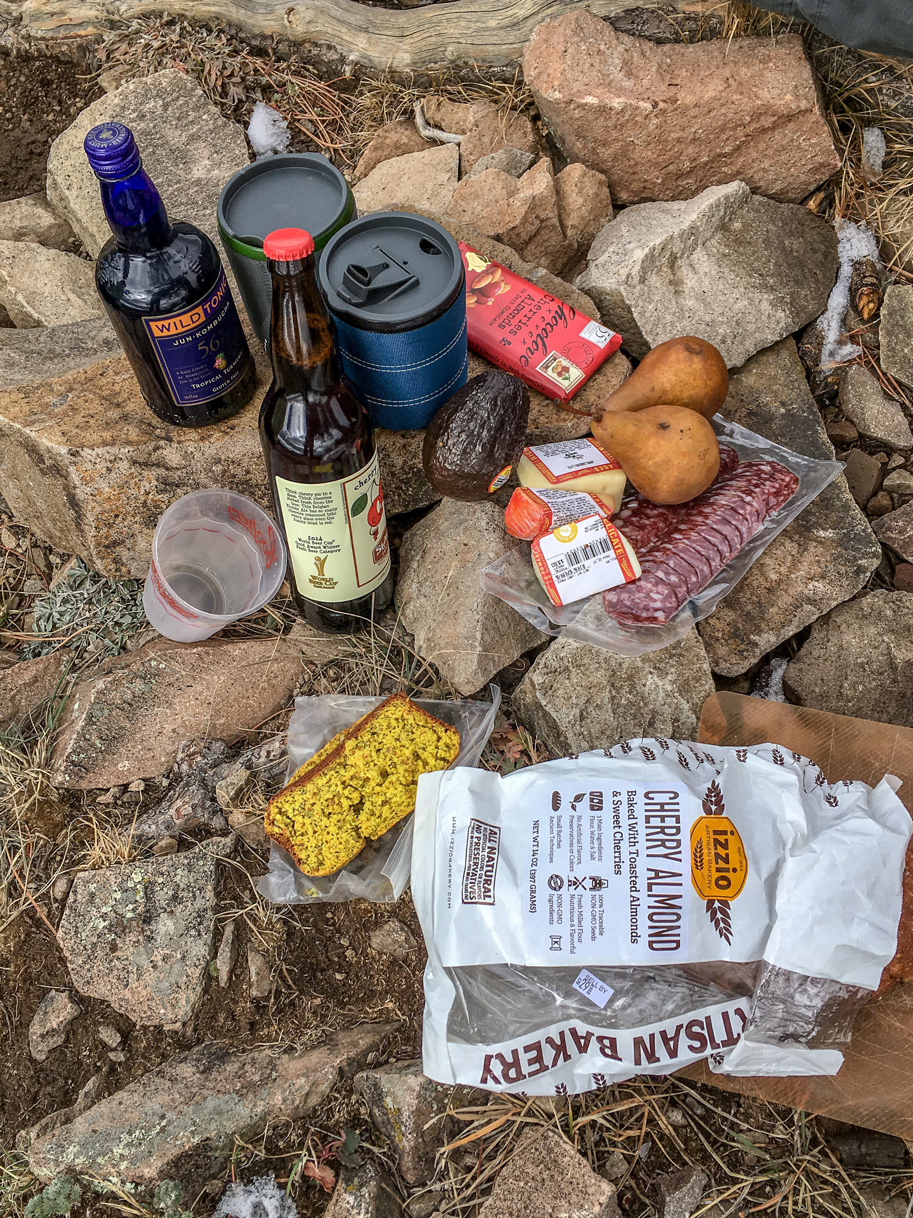
Sometimes you have to forgo distance and difficulty in favor of all the snacks. The hike up Sugarloaf Mountain just outside of Boulder is a good one for that. It’s only 1.3 miles but offers great views in every direction with lots of spots at the top to enjoy all those snacks. This is also a great one for visitors who haven’t acclimated to the altitude yet.

Blog 2017-10 Sugarloaf Mt-1125.jpg
Blog 2017-10 Sugarloaf Mt-1147.jpg

If you go:

Bear Peak Loop

We’ve been settling into Boulder the over last week getting to know the lay of the land. Now that we’re (mostly) moved in I’ve been turning my gaze to hiking. There are so many amazing trails right in the city, I can bike to so many trailheads! It’s a bit hard to know where to start so we figured it made sense to start with one of the top rated trails in the Flatirons, Bear Peak, and get some good views of our new city.

We started the trail from NCAR but you could start this trail from many of the trailheads in Boulder, everything is connected by trail. From the parking lot we made our way to the Mesa Trail via Table Mountain. Once on the Mesa trail we headed about .7 miles to the Fern Canyon Trail. We did the loop in this direction because it gets most of the climbing out of the way at the start and provides a more gradual downhill for the last ⅔ of the hike. I prefer steep uphills and gradual downhills as it’s easier on my knees but if you’re the opposite you can do the loop in the other direction. Yay loop trails.

Wow, the Fern Canyon Trail is steep. Since it’s in the canyon it’s about 10 degrees cooler, a big plus since you’ll be working up a sweat on this one. Once you get to the small saddle the last .4 miles to Bear Peak are a mix of steep trail and, especially at the end, some scrambling to reach the peak. Enjoy the view, you’re ~3,000ft above Boulder. Due to all the wildfire activity in the western US it was hazy towards the divide but we still had good views of the city below.

BLOG 2017-08-30 Bear Peak Loop-09371.jpg
BLOG 2017-08-30 Bear Peak Loop-09363.jpg
BLOG 2017-08-30 Bear Peak Loop-09375.jpg

On the way down we took the Bear Peak West Ridge trail which slowly works its way downhill with good views west to the divide. After 1.7 miles we turned on the Bear Canyon Trail and took this all the way down the canyon, crossing over the Mesa Trail we were on before, and took the short connector trail back up to the NCAR parking lot.

If you go:

Goodbye Madison, Hello Colorado

Big news: we’re moving to Colorado! K accepted a position at the University of Colorado starting in August.

On one hand I’m excited - hiking, backpacking, mountains right out the door. On the other - I love Madison, our friends and my job. It wasn’t an easy decision and it’ll be bittersweet (as moving always is) but we’ve made it, so what’s next?

I’ve always been interested in doing a longer thru hike but I never really had a plan for how that’d work. I can’t remember how I came across the book “Grizzly Bears and Razor Clams” by Chris Townsend but when I was laid up with a broken ankle last year I devoured it. It got me on a kick to try to make a thru hike of some sort a reality.

With the move we have a short window of time, about 5 weeks, to try to do something longer. We don't have the time to do the Pacific Northwest Trail as Chris Townsend did, but we do have the time to try the first part of the Great Divide Trail in Canada: it goes from the US border to Jasper.

What’s drawing us to this trail is that it’s in a similar region to the PNT (at least for the start) and the remoteness. I love not seeing people for days and having to use maps to navigate. The GDT all but promises these experiences. So here we go!

CO flag.jpg
GDT.jpeg