Lily Mountain - Short Hike, Long Views

Blog 2018-04 Lily Mt-2232.jpg
Blog 2018-04 Lily Mt-2237.jpg

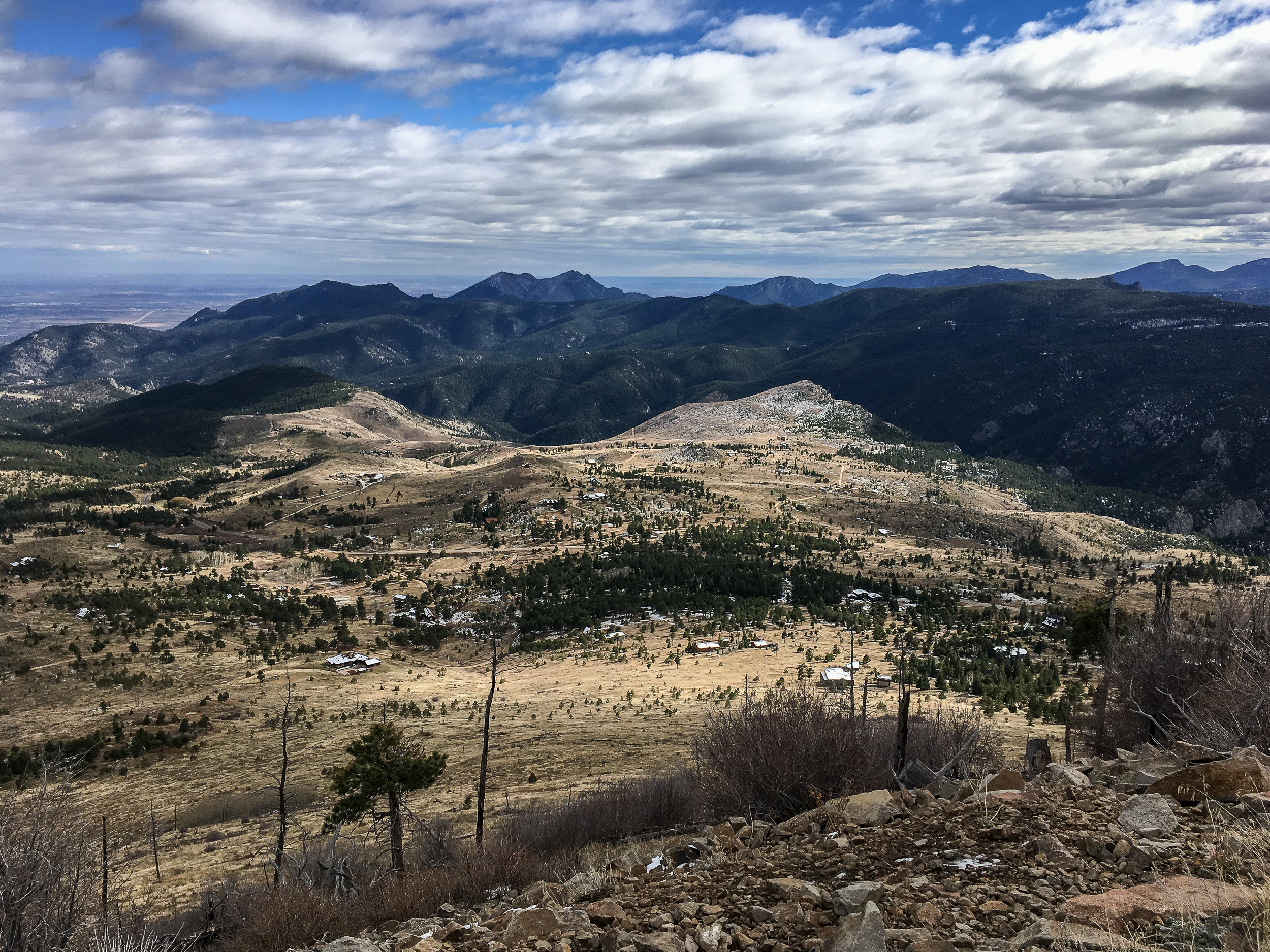
Lily Mountain is short but packs a punch. The trail itself is just under 2 miles each way with ~1,100ft of elevation gain, but the sweeping views from the top are some of the best, looking directly into Rocky Mountain National Park. It’s a great place to go for a short hike or, in my case, maximum reward for minimum effort for an out of state visitor.

Finding the trailhead can be a little bit of a challenge as it’s not really marked and there is no parking area. Use your GPS or just look for the cars parked off the side of the road near the start of the trail. The hike is mostly straightforward with a little bit of off-trail scrambling at the end to get to the official top. It’s a great place to hang out, eat some lunch or snacks and head back down to the parking area.

If you go:

Easy Does It - Sugarloaf Mt Hike

Blog 2017-10 Sugarloaf Mt-1133.jpg

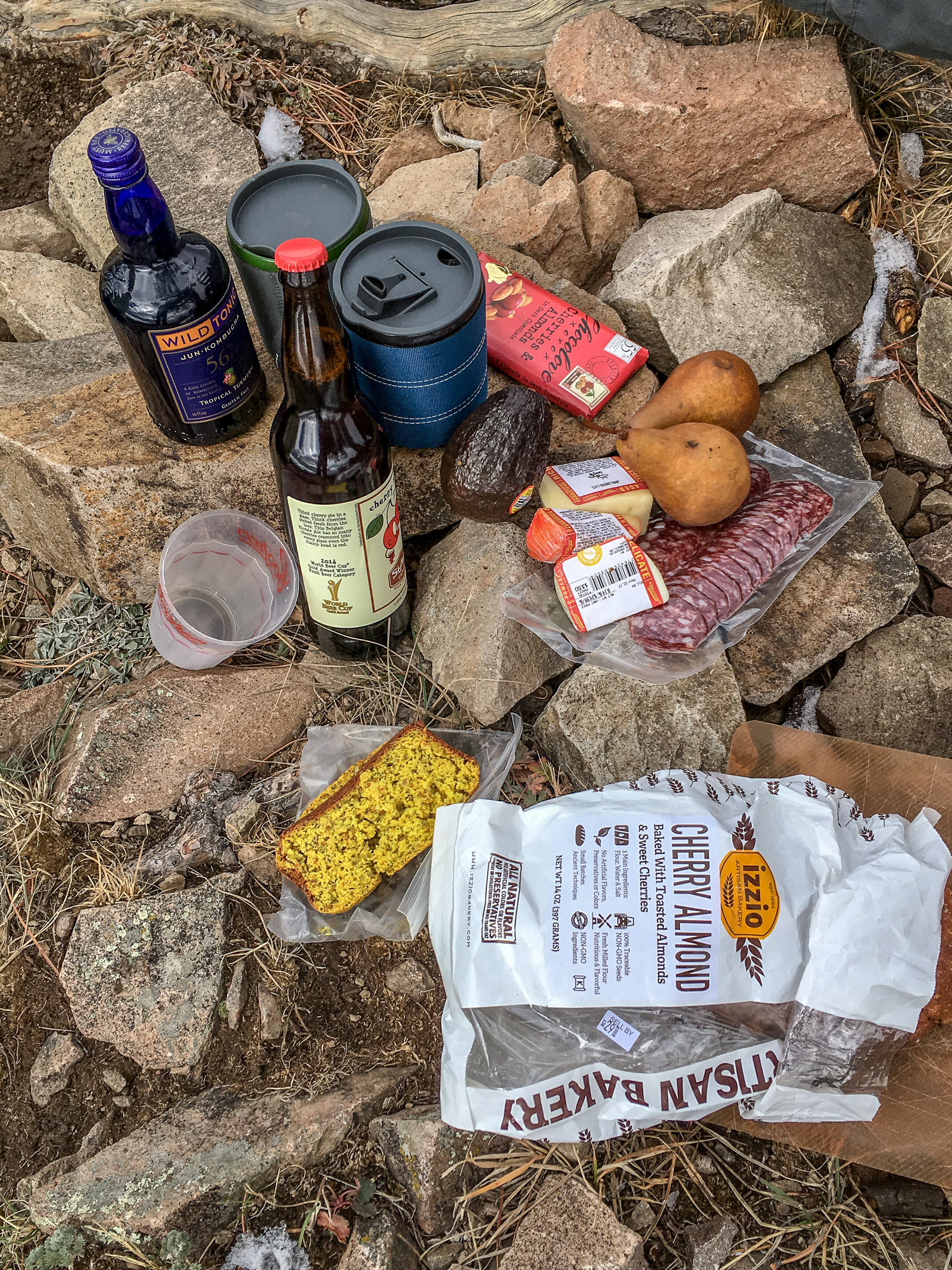
Sometimes you have to forgo distance and difficulty in favor of all the snacks. The hike up Sugarloaf Mountain just outside of Boulder is a good one for that. It’s only 1.3 miles but offers great views in every direction with lots of spots at the top to enjoy all those snacks. This is also a great one for visitors who haven’t acclimated to the altitude yet.

Blog 2017-10 Sugarloaf Mt-1125.jpg
Blog 2017-10 Sugarloaf Mt-1147.jpg

If you go:

Bear Peak Loop

We’ve been settling into Boulder the over last week getting to know the lay of the land. Now that we’re (mostly) moved in I’ve been turning my gaze to hiking. There are so many amazing trails right in the city, I can bike to so many trailheads! It’s a bit hard to know where to start so we figured it made sense to start with one of the top rated trails in the Flatirons, Bear Peak, and get some good views of our new city.

We started the trail from NCAR but you could start this trail from many of the trailheads in Boulder, everything is connected by trail. From the parking lot we made our way to the Mesa Trail via Table Mountain. Once on the Mesa trail we headed about .7 miles to the Fern Canyon Trail. We did the loop in this direction because it gets most of the climbing out of the way at the start and provides a more gradual downhill for the last ⅔ of the hike. I prefer steep uphills and gradual downhills as it’s easier on my knees but if you’re the opposite you can do the loop in the other direction. Yay loop trails.

Wow, the Fern Canyon Trail is steep. Since it’s in the canyon it’s about 10 degrees cooler, a big plus since you’ll be working up a sweat on this one. Once you get to the small saddle the last .4 miles to Bear Peak are a mix of steep trail and, especially at the end, some scrambling to reach the peak. Enjoy the view, you’re ~3,000ft above Boulder. Due to all the wildfire activity in the western US it was hazy towards the divide but we still had good views of the city below.

BLOG 2017-08-30 Bear Peak Loop-09371.jpg
BLOG 2017-08-30 Bear Peak Loop-09363.jpg
BLOG 2017-08-30 Bear Peak Loop-09375.jpg

On the way down we took the Bear Peak West Ridge trail which slowly works its way downhill with good views west to the divide. After 1.7 miles we turned on the Bear Canyon Trail and took this all the way down the canyon, crossing over the Mesa Trail we were on before, and took the short connector trail back up to the NCAR parking lot.

If you go: