Leech Attack on Ben Nevis

It was a cold misty morning when a group of us decided to drive up to summit Ben Nevis. The “road” where the trailhead starts can scarcely be called that. More like an overgrown logging track that is just wide enough for a 4WD vehicle. There’s not even a real place to pull off, so if another party would come in they’d likely block you in.

Just as we’re approaching the trailhead our friend who organized the trip casually mentions that this area is in fact known to have “some” leeches. Yay. But I’m told they only come out when it’s misty and wet -- great…

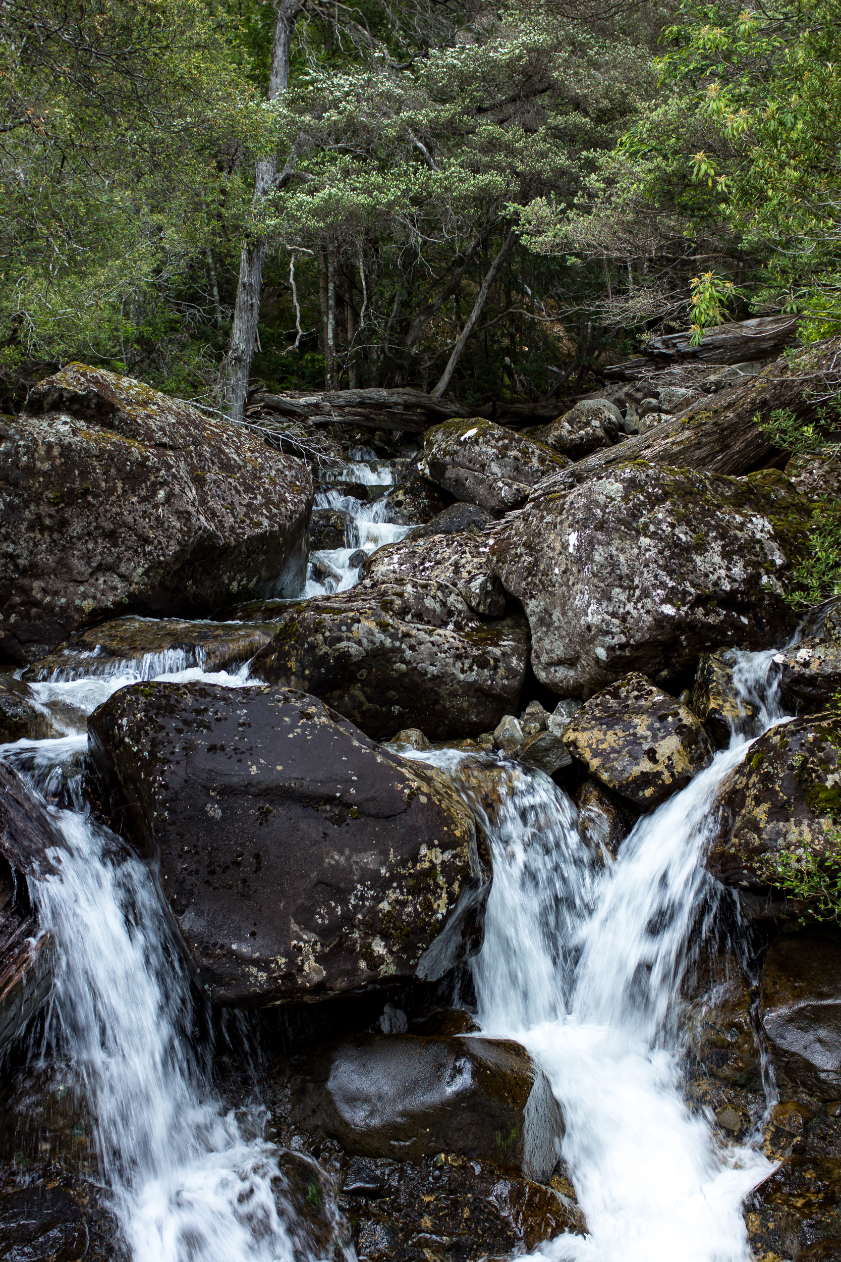
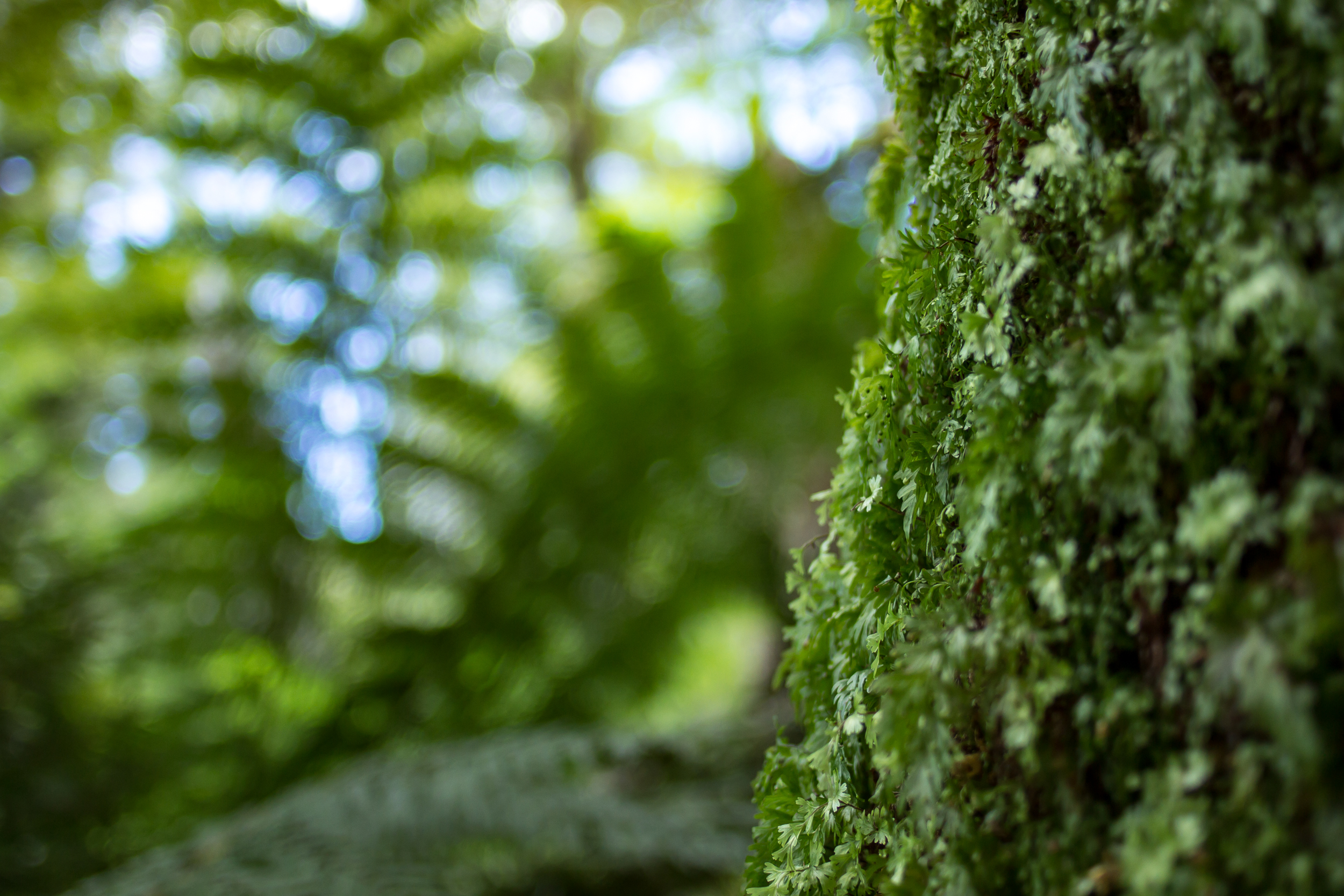
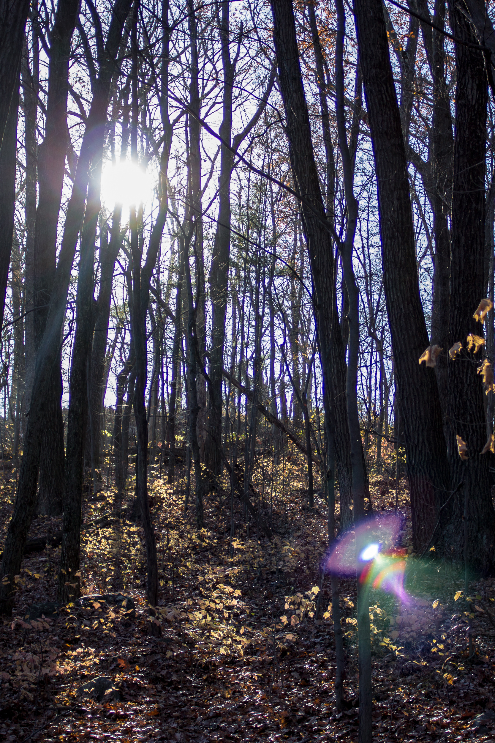
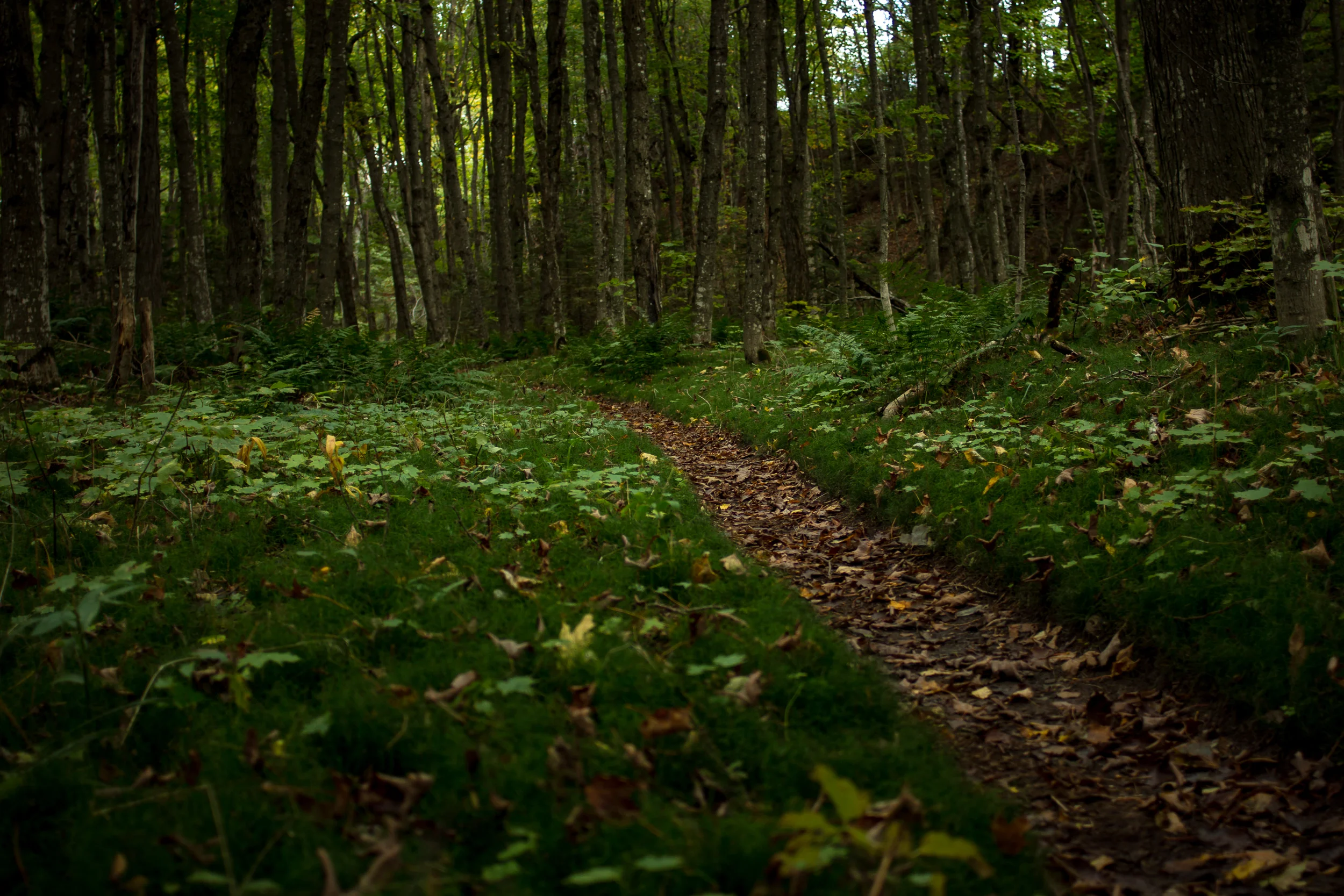
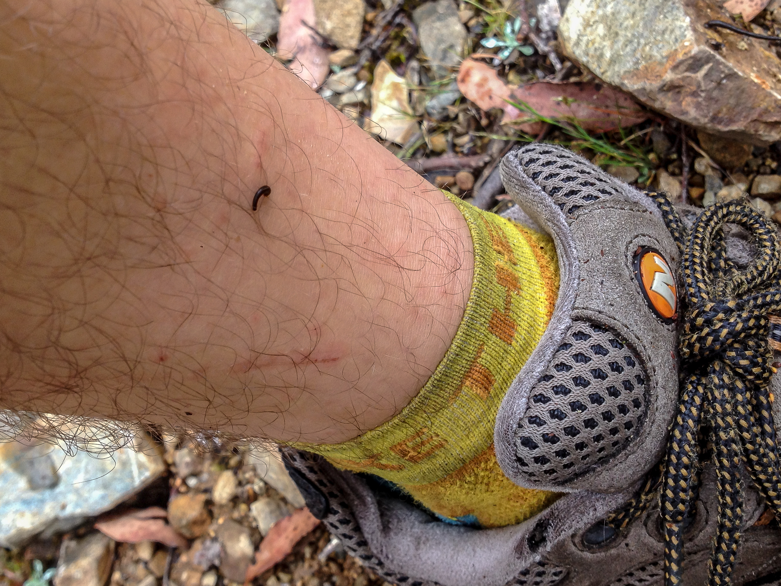
15 minutes in to the hike my ankles start itching. Weird, but i’ll keep walking. 10 minutes later they are really itching. I look down (I shouldn’t have looked down), there are at least a dozen leeches on each ankle. I frantically start ripping them off (the itching increases by factor of 10). I’m told not to stop as more will just get on me. Sound advice as the ground is literally MOVING with leeches. Holy. Shit. The “good” news is that if we walk fast and get out of the forest there will be no leeches on the rocky top. I walk fast.

Blog 2017-01 Ben Nevis-6235.jpg
Blog 2017-01 Ben Nevis-6237.jpg

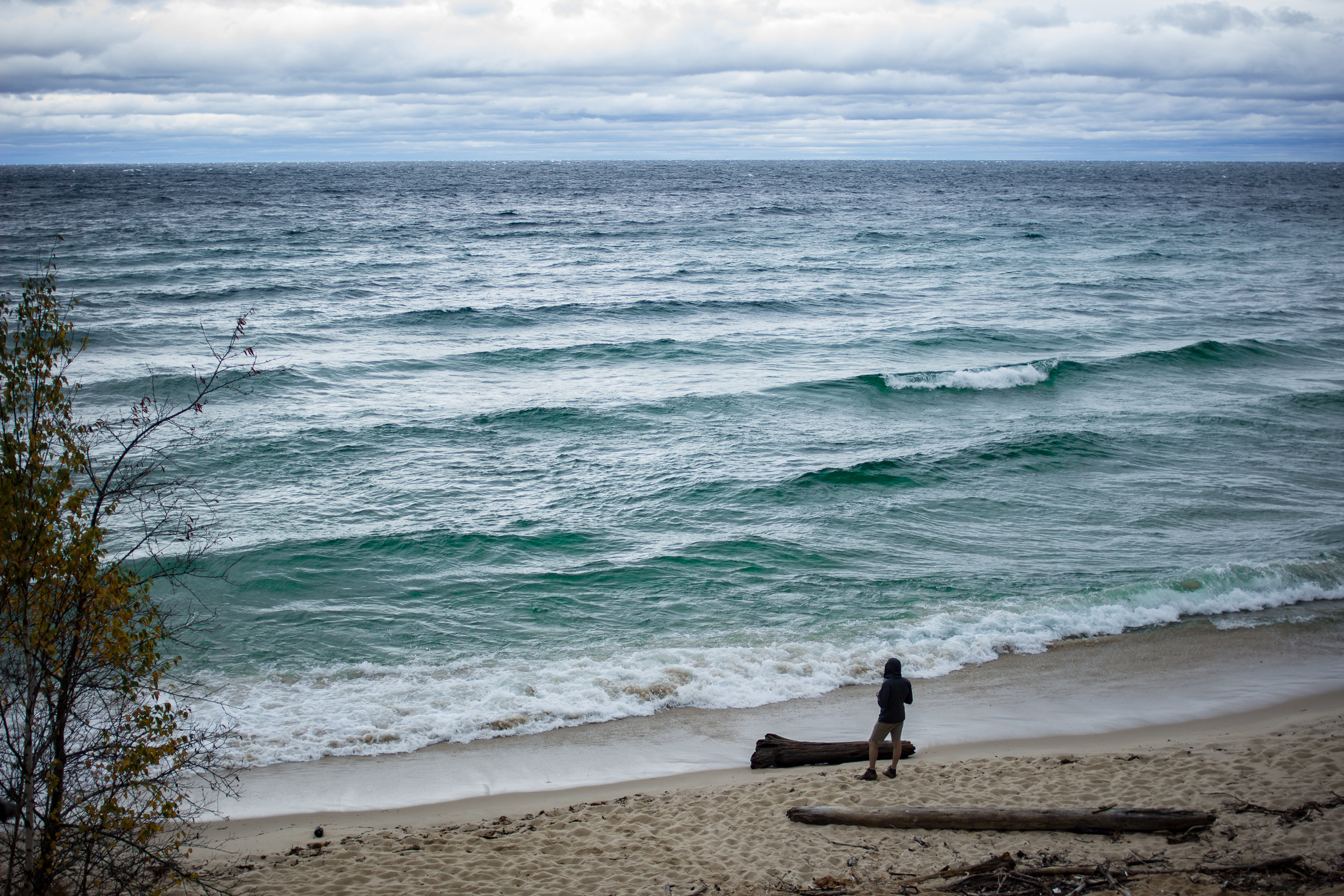
We break through the forest line and everyone stops to remove the leeches the second we get onto the rocks and we continue the misty march to the top. There are no views but walking through the mist above the tree-line has its own eerie beauty which I quite enjoy. When we reach the top we take off our shoes, ring out our wet socks and remove a few leech stragglers.

Blog 2017-01 Ben Nevis-4499.jpg

We hang out at the top hoping for a break in the clouds but one never comes. As the mist comes and goes we get views below us and it’s surprising how high we climbed from the tree-line. Heading back down the mist get thicker and it takes a second to locate the saddle we climbed up on. Once we find our trail it’s every person for themselves as we race through the leech infested forest.

I’ve never been so happy to see the car.

If you dare to go:

Meander Falls & Split Rock Circuit

Ringing in the New Year by… surprise… hiking! Tassie is really great for day hikes and there are a lot of them within an hour or two of Launceston where our family lives.

Today we are heading to the Western Tiers to do the Meander Falls and Split Rock Circuit.

Blog 2017-01 MeanderFalls-4376.jpg
Blog 2017-01 MeanderFalls-4392.jpg

The first part of the trail to Meander Falls follows the Meander River up to the falls. The tread is rocky but easy to follow. As we went up the trees started to thin and we got peeks of the falls in the distance.

Blog 2017-01 MeanderFalls-4386.jpg

At the base of the falls there is a small pool, which if it was warmer would be nice for a swim/soak. The falls themselves are quite dramatic and much larger than I had anticipated. Cool.

Blog 2017-01 MeanderFalls-4407.jpg

The map indicates that the trail continues up to the top of the tier behind the falls but there isn’t any evidence of the track. We tried in a few places to locate the trail but with no luck. If you were determined it would be doable to get up to the top but it would be slow going as it is very steep here.

To head back via the Split Rock trail we headed down the trail we came up about ⅓ of a mile. There is a sign at the trail junction (somehow we missed it on the way up). The faint trail heads over the river which is easy to rock hop across but recent rains could change that so keep that in mind.

Blog 2017-01 MeanderFalls-4430.jpg

After crossing the river the trail heads up a scree slope. Cairns can help guide you but it’s fairly easy to see where to go (aim for the saddle at the top of the scree). There are great views from the saddle. We chose not to scramble up Meander Crag but it could make for a quick side trip.

Blog 2017-01 MeanderFalls-4454.jpg
Blog 2017-01 MeanderFalls-4444.jpg

Heading down the other side through a smaller scree field we were able to follow the cairns and pick up the trail as it entered the forest. The forest is much more lush on this side and we passed numerous small cascades and falls along the way down.

Blog 2017-01 MeanderFalls-4467.jpg
Blog 2017-01 MeanderFalls-4476.jpg

Make sure you take the longer more winding trail vs the “main” Split Rock trail to see these. The trails rejoin shortly after the falls and eventually the aptly named Split Rock is reached. The trail became less steep as we got closer to the car.

Blog 2017-01 MeanderFalls-4481.jpg

A really nice walk with a little of everything: Dry(ish) forest, falls, scree scrambling, long views and rainforest.

If you go:

Cradle Mountain Summit

I’ve wanted to summit Cradle Mt for the last 8 years (ever since my in-laws moved to Tasmania) but every time we visit it’s either 1. Winter or 2. Storming. Finally this time around we have a good weather window.

It’s peak season so we had to take the shuttle in. The good news is that this allowed us to start and end from different trailheads.

Blog 2016-12 Cradle Mt-4297.jpg

We got dropped off at the Ronny Creek trailhead and started walking on the Overland Track (sidenote: someday I want to do the full overland track, 51 miles to Lake St Clair to the south). It’s late December but it was a chilly start as the trail steadily climbed up to Marion’s Lookout. At one point I saw a snake on the trail, probably deadly, this country is horrifying.

From there the trail heads to Kitchen Hut and shortly after we turned onto to the Summit Track. All of these trails are very well travelled and heavily used. After some steep climbing the trail turns into scrambling for the rest of the way to the top. We had a blast on this part and some sections are fairly challenging. There is a main route most hikers take but at points it becomes a bit of a choose your own adventure -- awesome!

Blog 2016-12 Cradle Mt-6130.jpg
Blog 2016-12 Cradle Mt-4314.jpg

The views from the top are stunning, much of Tassie can be seen, mountains in every direction.

Blog 2016-12 Cradle Mt-4313.jpg

The way down is nitpicky. Scrambling down, IMO, is much freakier than going up. I wouldn’t want to be going down this in rain let alone ice or snow.

Blog 2016-12 Cradle Mt-4349.jpg

We headed back via Kitchen Hut and Marion’s Lookout and then took the Wombat Track back to Dove Lake to grab the shuttle back to the park entrance. If you have the time I’d recommended taking Face Track at Kitchen Hut to the Lake Rodway Track and out that way. Overall it’s longer but you get to stay high for the views for more of the hike.

Endless Summer - An Aussie Road Trip

One of the biggest perks of being married to an Australian is, you guessed it, having a great excuse to visit Australia. This time around given my work schedule and K writing up her thesis we’re setting off for over a month.

We spent the first few days in Melbourne and then headed off on a meandering road trip (our favorite kind) through the mountains and along the coast to Sydney.

As we drove north through the Yarra ranges we stumbled upon Cathedral Ranges State Park. I’m certainly happy we did: a great park with hiking, camping and backpacking options. We decided to head up Ned’s Gully to Ned’s Peak. About 5.5 miles round trip and Ned wasn’t messing around, his gully is pretty steep. I love when you get many different microclimates on a trail and this one did not disappoint. A thick fern forest in the gully, rock scrambling and dry eucalyptus forest in the middle and a view at the top. We didn’t have time to take the trail all the way up to Cathedral Peak and Razorback Ridge but that looked like some rock-hopping fun to be had.

Blog 2016-12 Aussie RT-3994.jpg

The next day we drove to Kosciuszko National Park to summit Mt. Kosciuszko, the highest point in Australia at 7,310ft. I wasn’t expecting a hard hike but I wasn’t expecting it to be this easy. The trail is an old road, very flat and graded the whole way to the top. The views at the top were spectacular. Open alpine peaks with views in every direction.

Blog 2016-12 Aussie RT-4053.jpg

We camped just down the road from the trailhead and it was a clear, crisp night and the stars, which are normally phenomenal in Australia, were even more stunning than normal.

Blog 2016-12 Aussie RT-4093.jpg

For the next three days we poked up the coast towards Sydney. Lots of little places to camp along the many beaches. Australia, you know how to make a good beach.

Blog 2016-12 Aussie RT-4127.jpg
Blog 2016-12 Aussie RT-4128.jpg

Ice Age Trail - Devil's Lake Loop

I was feeling a little stir crazy and with an amazing weather day for November I decided to do my favorite section of the Ice Age Trail through the Baraboo Bluffs.

Blog 2016-11 DevilsLakeLoop-3635.jpg

There are a number of ways to make this a shorter loop within the park, but if you want to do the whole section of the IAT here’s how I did it.

You could walk the entire 15.5 miles starting (or ending) with a 2 mile road walk but what I chose to do was a bike shuttle. I parked at the Rozno’s Meadows Trailhead on HWY 113 and then biked the 2 miles to the Parfrey’s Glen Trailhead. It’s a mostly flat ride and the road is in good condition for the short bike (or walk if you choose).

Blog 2016-11 DevilsLakeLoop-3698.jpg

Once you get to Parfrey’s Glen there is good signage on what trail is the Sauk Point Trail (the Ice Age Trail) and what is the trail up the glen, a fun side trip or a trip for another day. This section of the trail is uphill and mostly wooded. Near the top the trail opens up with views of Lake Wisconsin to the south.

Blog 2016-11 DevilsLakeLoop-3625.jpg

Crossing 113 after 4.5 miles from Parfrey’s Glen you’ll now be in the main portion of Devil’s Lake State Park and there are many options to shorten or take different trails. To stay on the official IAT trail route bear right (NW) onto the Uplands Trail Loop. A little less than a mile later bear to the right again (N) onto the Johnson Moraine Loop.

Blog 2016-11 DevilsLakeLoop-3684.jpg

After 1.4 miles this trail enters a campground where it can be confusing to follow the trail itself. I always have issues figuring out if I’m supposed to be on a trail or a road here, but both lead to the same place and the trail becomes more clear near the amphitheater. From here it heads down to the north shore of the lake (and concessions!).

Blog 2016-11 DevilsLakeLoop-3657.jpg
Blog 2016-11 DevilsLakeLoop-3669.jpg

Head through the picnic area and onto the West Bluff Trail. This trail will give you the best views of the lake as you head up and along the ridge. There are lots of great areas for stopping for views or enjoying some lunch. Head down the the bluff and down to the southwest shore of the lake. At the boat launch there are bathrooms.

Blog 2016-11 DevilsLakeLoop-3627.jpg

From here to the south shore the walk is along a sidewalk at lake level. The south shore has concessions and many picnic areas for stopping at. Not a bad idea to take a little break here as the trail steeply ascends the east bluff next. Once on top of the bluff you’ll walk along the ridge getting view of Devil’s Lake at first and then southeast towards Lake Wisconsin.

Blog 2016-11 DevilsLakeLoop-3693.jpg

The trail starts to descend back into the forest and finally into Rozno’s meadows for the last 1.5 miles back to the trailhead where you started.

If you go:

Pictured Rocks Group Trip

The North Country Trail through the Pictured Rocks National Lakeshore is one of my favorite stretches of trail. Part of that is due to the scenery and part is due to the fact that I’ve been coming up here since before I can remember.  

Last year I did the whole 43 mile stretch in one go for the first time. This year we’re doing 36.4 miles from Miners Castle to Au Sable Falls. There is a hiker shuttle that runs between Munising and Grand Marais, but with a group the car shuttle is pretty easy, the trailheads are only about an hour apart.

Blog 2016-10 PRNL-3305.jpg
Blog 2016-10 PRNL-3343.jpg

We got started just after lunch and headed the 5 miles to Mosquito Beach Campground. The next morning we broke camp and started the walk by climbing to the top of the Pictured Rocks themselves. The forecast called for a front coming in from the north sometime in the late morning. Sure enough around 10am a bank of clouds started building to the northwest. For the next hour we watched the clouds inch closer until suddenly they were upon us. The temps dropped about 20 degrees and the winds picked up to gale force, it was awesome.

Sure I’d prefer the warmer, sunnier temps but witnessing the sudden transition really reminds you who is in control. The wind continued through the rest of the day and made for a dramatic sunset over the lake at the Beaver Creek Campground where we spent night 2.

Blog 2016-10 PRNL-3400.jpg

It was a cool and drizzly morning on day 3. Last year I had the pleasure of calm weather and was able to walk a large stretch of twelvemile mile beach along the beach itself. This time around we stuck to the forest.

Blog 2016-10 PRNL-3325.jpg
Blog 2016-10 PRNL-3416.jpg

The highlight of the day was the surprise that I knew was coming. For the most part the trail stays a few miles off the main road through the park but near the Au Sable Lighthouse the trail nears the road. Before meeting with 2 members of our group a friend and I managed to stash some beers under a log just off the trail. Nearing the end of our day the team was tired, hungry and wet. When I told my unsuspecting friend to “see what’s under that log...” I got a death stare. But after some coaxing he obliged me and gleefully pulled the bag of beers out. Definitely a morale booster to walk the last two miles of the day with a beer in hand.

Blog 2016-10 PRNL-3403.jpg

The sun came out for our final day and we had good views climbing up to the top of the dunes and down through the forest to our car at Au Sable Falls. We made a beeline for the Dunes Saloon in Grand Marais for a well earned burger and beer before heading back home.

Blog 2016-10 PRNL-3449.jpg
Blog 2016-10 PRNL-3453.jpg

The $50 Pack

I’ve wanted to transition to more ultralight gear for a while but the cost is prohibitive. So when a casual trip to the local thrift store uncovered this Gossamer Gear Pilgrim 36 I almost fell over. What is this pack doing 1. At a thrift store 2. In Madison, WI and 3. Is the person that knows about this kind of gear still around cause we should hang out.

Gear-0962.jpg
Gear-0964.jpg

As far as I can tell the pack is in great condition and at $50 it’s ~$100 cheaper than new. It’s smaller than the one I’ve been eyeing up (the Gorilla) and frameless (not sure if I’m ready to make that jump yet) but for $50 I can’t not buy it.

Ice Age Trail - Table Bluff Segment

We are lucky enough to have one of the National Scenic Trails running through Wisconsin. It’ll never be confused with some of its larger and more popular cousins, but its proximity to Madison gives us some good opportunities to get out on the trail.

A new section for me is the Table Bluff section of trail near Cross Plains, WI (and also where the headquarters of the IAT is located). Running 2.3 miles total it makes for a nice 4.6 mile out and back. Being in the driftless area of Wisconsin it’s more hilly than a few miles farther east and although it’s not very far from Madison itself it feels more secluded than you’d think.

Blog 2016-08 Table Bluff-3085.jpg

Starting from the south end you face a 200ft climb right to the top of an oak savanna. There is a nice picnic area at the top and views of the surrounding farmland. As you continue on the trail it weaves through forest, prairie and some farmland.

Blog 2016-08 Table Bluff-3093.jpg

The trail ends at Table Bluff Rd near Dreamfarm which specializes in local cheeses, eggs and veg (although they don’t have a farm stand). If you’re lucky enough you’ll see the goats and chickens galavanting in the fields.

At this point you can turn around and head back to the car along the same trail you came on.

Blog 2016-08 Table Bluff-3100.jpg

A Boundary Waters 4th of July

I love the Boundary Waters, the ~8hr drive is prohibitive, but definitely worth it. This will be my first time in the late spring early summer, a little nervous about the “horrific” populations of biting insects I’m supposedly going to encounter.

Our itinerary is pretty cruise-y, perfect for a group trip: lots of time at camp, lots of time for side explorations. Our garage sale canoe is definitely not the lightest for the portages, but hey, it beats paying for a rental. If I was doing a longer more demanding trip I’d for sure want something more lightweight but for this trip it fits the bill.

We put in at Round Lake just before lunch and began our paddle. The first night we stayed on an island on Snipe Lake (an island!). This is why I love the BWCA, you can stay on islands, which just feels cool.

Blog 2016-07 BWCA-5092.jpg

With all the time at camp I even managed to proof and bake a loaf of yeast bread paired with homemade raspberry jam. It. Was. Awesome. Good thing the island we’re on appears to be free of bears.

On night two we stayed on the skinny Cross Bay Lake. Our campsite was a short scramble up the rocks with a great swimming hole right out front.

Blog 2016-07 BWCA-5075.jpg

On night three at Ham Lake we got a great campsite on a rocky point in the middle of the lake.

Blog 2016-07 BWCA-2834.jpg

Every night around dusk we had turtles coming up the rocks towards our campsite and digging in the dirt. I’m assuming they are trying to lay eggs and we gave them as much privacy as possible.

Blog 2016-07 BWCA-2848.jpg

And the bugs that were supposedly going to carry me off? Didn’t happen. Sure there were bugs but other than 30 min before/after sunset they really weren’t a problem.

If you go:

Floating on the Wisconsin River

Back at it with my uncle. This time a quick one night trip canoe camping on the Wisconsin River (gotta play with that new canoe!)

Blog 2016-06 Canoe Trip-4926.jpg

We put in early afternoon at the public launch off of Highway A on Indian Trails Parkway, about 5 miles south of the Wisconsin Dells. Our take out point was about 10 miles downriver off of Levee Rd. About half of the distance twists and turns through the Pine Island State Wildlife Area.

Fairly low key trip, saw a few eagles, hawks, herons and only a few people. As always, great to get out of the city for a day. Plus, I got to test out my new Vargo woodstove. It’s fairly fiddly but I think with some practice it’ll be a cool little stove.

 
Blog 2016-06 Canoe Trip-4950.jpg