Pictured Rocks Group Trip

The North Country Trail through the Pictured Rocks National Lakeshore is one of my favorite stretches of trail. Part of that is due to the scenery and part is due to the fact that I’ve been coming up here since before I can remember.  

Last year I did the whole 43 mile stretch in one go for the first time. This year we’re doing 36.4 miles from Miners Castle to Au Sable Falls. There is a hiker shuttle that runs between Munising and Grand Marais, but with a group the car shuttle is pretty easy, the trailheads are only about an hour apart.

Blog 2016-10 PRNL-3305.jpg
Blog 2016-10 PRNL-3343.jpg

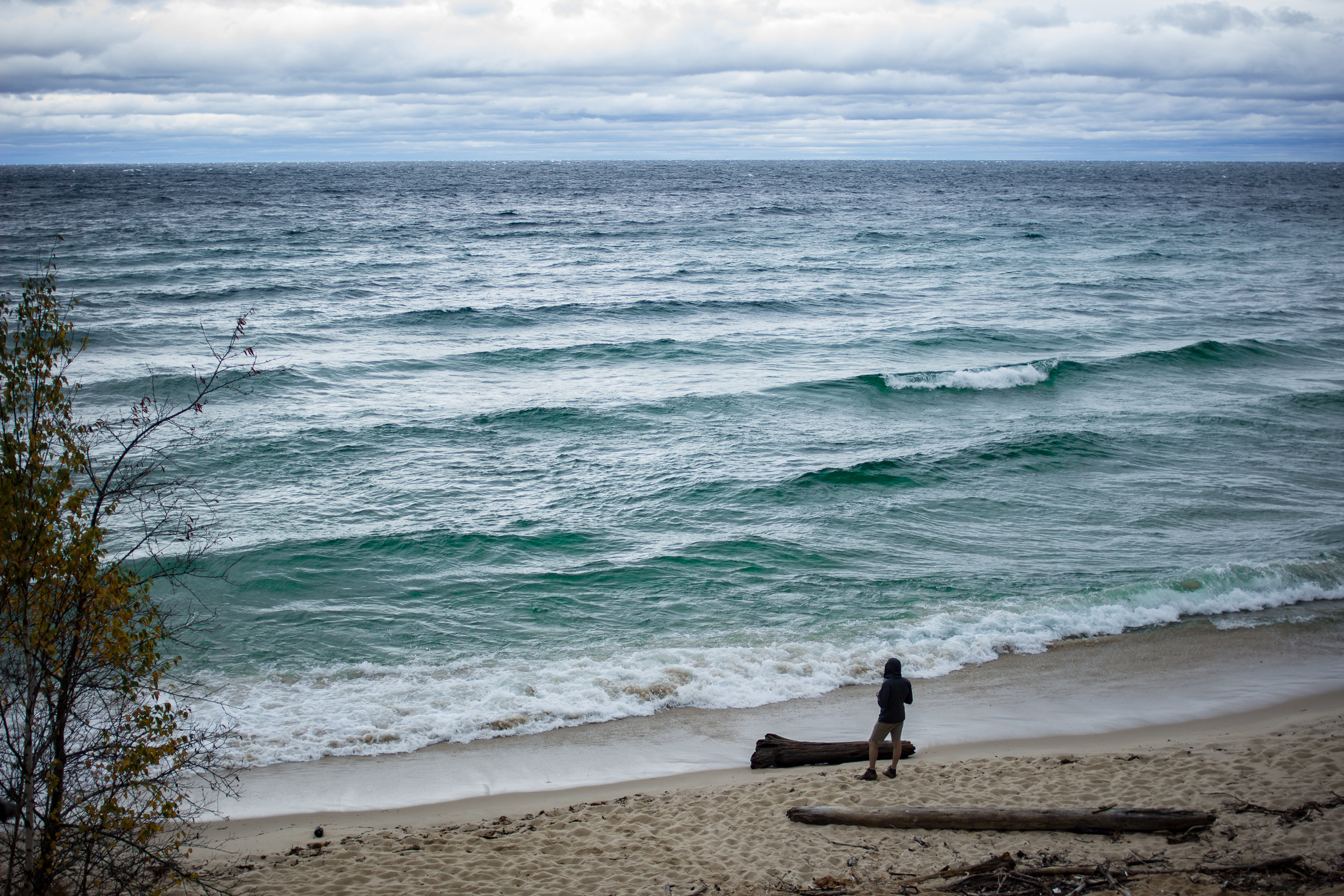
We got started just after lunch and headed the 5 miles to Mosquito Beach Campground. The next morning we broke camp and started the walk by climbing to the top of the Pictured Rocks themselves. The forecast called for a front coming in from the north sometime in the late morning. Sure enough around 10am a bank of clouds started building to the northwest. For the next hour we watched the clouds inch closer until suddenly they were upon us. The temps dropped about 20 degrees and the winds picked up to gale force, it was awesome.

Sure I’d prefer the warmer, sunnier temps but witnessing the sudden transition really reminds you who is in control. The wind continued through the rest of the day and made for a dramatic sunset over the lake at the Beaver Creek Campground where we spent night 2.

Blog 2016-10 PRNL-3400.jpg

It was a cool and drizzly morning on day 3. Last year I had the pleasure of calm weather and was able to walk a large stretch of twelvemile mile beach along the beach itself. This time around we stuck to the forest.

Blog 2016-10 PRNL-3325.jpg
Blog 2016-10 PRNL-3416.jpg

The highlight of the day was the surprise that I knew was coming. For the most part the trail stays a few miles off the main road through the park but near the Au Sable Lighthouse the trail nears the road. Before meeting with 2 members of our group a friend and I managed to stash some beers under a log just off the trail. Nearing the end of our day the team was tired, hungry and wet. When I told my unsuspecting friend to “see what’s under that log...” I got a death stare. But after some coaxing he obliged me and gleefully pulled the bag of beers out. Definitely a morale booster to walk the last two miles of the day with a beer in hand.

Blog 2016-10 PRNL-3403.jpg

The sun came out for our final day and we had good views climbing up to the top of the dunes and down through the forest to our car at Au Sable Falls. We made a beeline for the Dunes Saloon in Grand Marais for a well earned burger and beer before heading back home.

Blog 2016-10 PRNL-3449.jpg
Blog 2016-10 PRNL-3453.jpg

43 Miles in the Pictured Rocks National Lakeshore

I’ve been coming to the Pictured Rocks National Lakeshore (PRNL) since before I could walk. Over the years I’ve hiked most of the Lakeshore Trail, the 43 mile section of the North Country Trail that runs from Grand Marais to Munising, but this will be the first time I’ve done it in one stretch.

I drove up early to meet the hiker shuttle at the Munising Falls parking lot. After the 45 minute shuttle ride I was dropped off at the Grand Sable Visitor center with a friendly midwestern goodbye paired with the comment “people who hike out here alone are crazy”. Gee thanks…

Two miles in I passed a group of 4 heading back to the Visitor Center. They would be the last people I saw until Munising Falls.

BLOG 2015-11-05 PR-0510.jpg

What I’ve always liked about PRNL is the variety of scenery packed into the park. Heading east to west I start in a forest before weaving in and out of view of the sand dunes. At the old log slide the trail follows the ridge down to Au Sable Lighthouse with sweeping views of Lake Superior along the way. Just before dusk I reach the Au Sable East campsite and make camp.

BLOG 2015-11-05 PR-0540.jpg

Day 2:

I wake up to a cool damp morning. Skies are still overcast. After a warm breakfast I pack up and head out past the lighthouse. This time of year it’s deserted. I pass through two car campgrounds (the first empty, the second has a single RV but no signs of life as I walk past) before starting the section along Twelvemile Beach.

BLOG 2015-11-05 PR-0554.jpg

The trail technically is just inland from the beach but it can be quite soft with sand so I chose to walk on the packed sand near the water. The lake is calm and the walk to the Pine Bluff campsite goes by quickly.

BLOG 2015-11-05 PR-0606.jpg

Day 3:

Much sunnier today. I finish the last few miles of the beach and get to the Coves section of the trail. I love this section: lots of secret coves and rock lookouts a short scramble off the trail. I spend way too long sunning myself here and drinking a mid-morning coffee.

BLOG 2015-11-05 PR-0725.jpg
BLOG 2015-11-05 PR-0709.jpg

Now the trail heads on top of the Pictured Rocks and then down to Chapel Beach. The sun is out and the lake is perfectly still. It’s gotta be 50 if not 55. I can’t resist a swim (it’s Nov 3rd!).

BLOG 2015-11-05 PR-0770.jpg
BLOG 2015-11-05 PR-0823.jpg

The trail heads back up on the rocks and I catch the sunset there before heading to the (eerily creepy) Mosquito campsite in the dark.

Day 4:

I wake up before sunrise and can’t get back to sleep so I pack up and decide to have breakfast on top of the rocks about two miles into my hike. A bit hazy at the start of the day but hopefully that burns off soon.

BLOG 2015-11-05 PR-0890.jpg

On Miners Beach the sun starts to shine and the view through the wild blueberry bushes is stunning. Heading up to Miners Castle I expect to see a few people but the area is empty. From here the trail stays slightly inland and I get only occasional views of the lake. The walking is easy but it’s the most boring section of the trail.

 
BLOG 2015-11-05 PR-0929.jpg
 

Mid afternoon I reach Munising Falls and soak my feet in the (cold!) stream before heading back home.

If you go: