Utah with the Nikon Z7

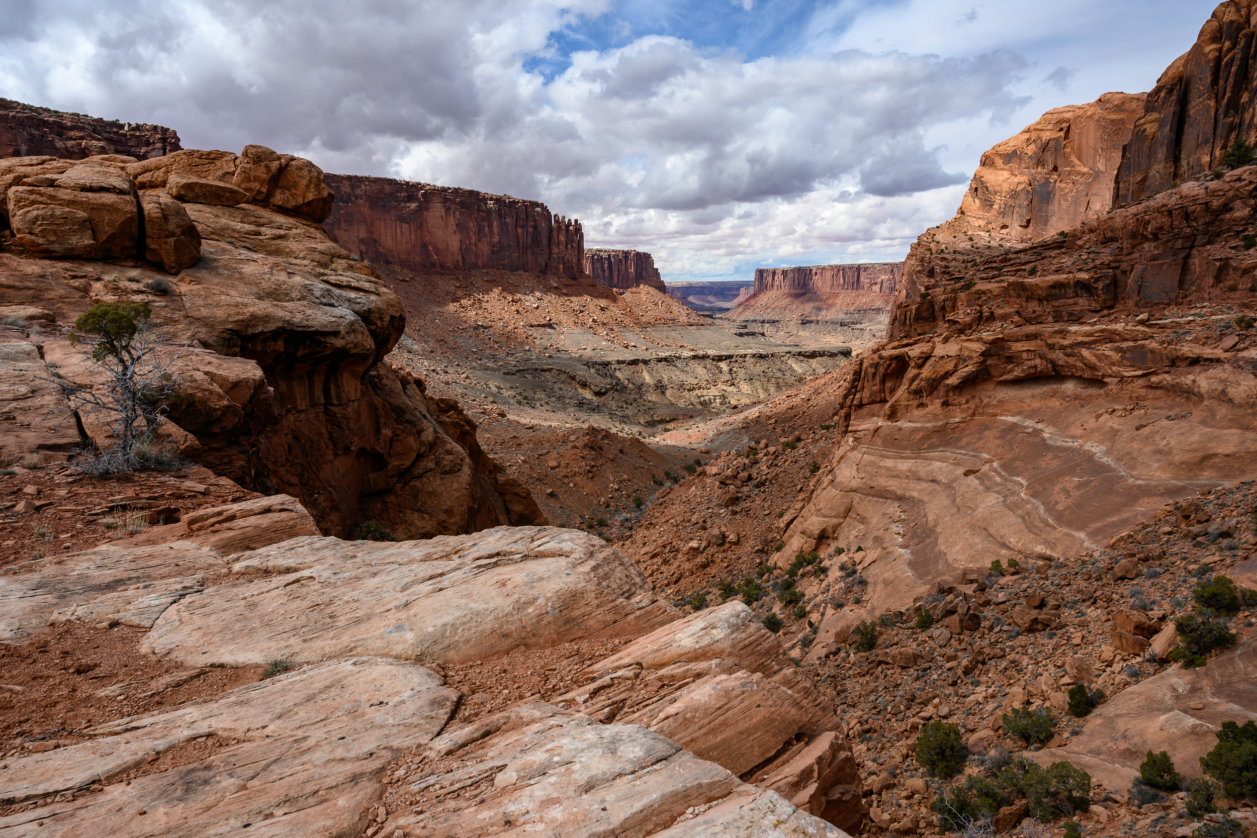
We blast over the divide and into Utah for a long weekend and find a truly stunning camping spot overlooking a canyon just outside of Canyonlands National Park. We might end up just sitting here the whole weekend.

Moab-0402.jpg
Moab-0385.jpg

I was able to score a Nikon Z7 w/ Nikkor Z 24-70mm zoom lens to test for the weekend. All photos from this post are taken with that camera, and more detailed review follows (warning, I’m not a gear junkie, it’s more of an aesthetic review than a technical).

We do end up leaving the camp to do the Syncline Trail in Canyonlands NP. This trail is awesome. It circles the Upheaval Dome, the origin of which is unknown (cool). First we hike down into a canyon and along a riverbed, then up a boulder field and back to the start. It’s certainly my kind of hike: the trail isn’t always obvious, scrambling required, lots of up and down through amazing scenery and very few people.

Moab-0127.jpg
Moab-0137.jpg

The Devil’s Garden & Primitive Trail in Arches NP also has the scenery but is much more popular. The Devil’s Garden Trail is very busy, makes sense there are a ton of arches in a short span. For being a popular trail in a National Park I’m pleasantly surprised by the ruggedness of some sections, especially the ones walking on and over rock faces. Taking the Primitive Trail makes this hike a loop (yay!) and adds more of a challenge with steep rock climbs and less obvious trail. Despite the warnings of such our hike on this trail turns into more of a rescue mission. K pulls an 80 year old woman up a rock face (kudos to her for making it that far!), I guide a group of hikers down a steep section of rocks and we help a number of people re-find the trail. It’s kinda fun, makes me feel like I know what I’m doing.

Moab-0219.jpg
Moab-0326.jpg

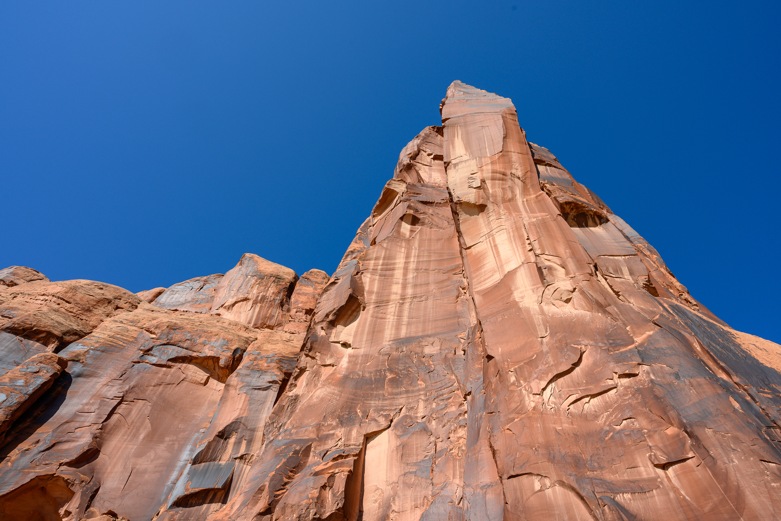
One of the days we switch it up with a bit of 4WDing down the valley we are camped by and under a giant rock. We also explore Moab a bit - I found a $4 flannel shirt in a thrift shop, that’s my highlight from town.

Moab-0283.jpg

On the way back to Boulder we stop to do the Professor Creek and Mary Jane Trail. The trail follows a creek up a deeper and deeper canyon and ends with a waterfall (we didn’t go that far, just to the canyon). It’s really fun to splash through the creek. There isn’t really a trail and we end up follow footprints in the sand to make sure we are going the correct way. It would be easy to get lost in these canyons and if it was raining a flash flood would be dangerous here. Getting back is easier, just follow the main branch of the creek back the way you came.

Using the Nikon Z7 for the weekend was a fun treat (my primary cameras for hiking & backpacking are the Sony A6000 or Sony A7R ii). I don’t often use zoom lenses so I had to retrain myself how to take photos. I don’t have to walk around to get different shots, I can zoom! As fun as the zoom is I really enjoy using prime lenses, I feel like they are more “natural” to how my eyes perceive the world. Due to habit most of the pictures in the post are taken at 24mm, the widest the lens goes, because I forgot the lens could zoom. The exceptions are the shot with the car which is at 38mm and the shot of the arch which is at 36mm.

The camera has a nice feel in the hand, the grip is more robust than the Sony’s, and has a nice look to it. I’m not fully dialed in with the Nikon control menus but I found it easy to navigate and use when I wanted to change settings. For the kit lens I found the Nikkor 24-70mm to take excellent pictures. The biggest con for me is the weight (why I love the Sonys so much), I think the Z7 would be good on day hikes but it would be too much for a longer trip.

If you go:

Moab-0181.jpg

Winter Walk to Emerald Lake

Emerald Lake-01462.jpg

It seems like I never go to Rocky Mountain National Park in the summer (not to hike anyway, we’ve driven the Trail Ridge Road a couple of times). I suppose it makes sense; it’s less crowded in winter and in the summer I’m usually backpacking somewhere I don’t need permits or to plan months in advance.

Anyway - Emerald Lake. It’s one of the more popular hikes so even though there was a ton of snow we didn’t need snowshoes, just microspikes, since the snow was packed down. It was super windy at Emerald Lake (I suspect common) but the sunny skies made it feel much warmer. For a short, ~3 mi out and back hike, it was nice to get out into the mountains, even if it’s only for a few hours.

If you go:

Winter Camping

I don’t winter camp. I love the idea in theory but in practice the long hours of darkness cooped up inside a tent just put me off it. Get me a hut with a woodburning stove and I’ll walk/ski/snowshoe miles back to it.

Living this close to the mountains it kills me that prime backpacking season is 3, maybe 4 months max. After a few weeks of coaxing I finally convinced K that we should try it. She’s from the desert, this is probably the last thing she ever saw herself doing.

Winter Camping-3693.jpg
Winter Camping-3702.jpg

At the Moffat Tunnel trailhead , the gateway to the James Peak Wilderness, there are some camping options within a mile of the trailhead. Seems reasonable, close enough to escape if we can’t handle it but far enough away to make it feel worth it.

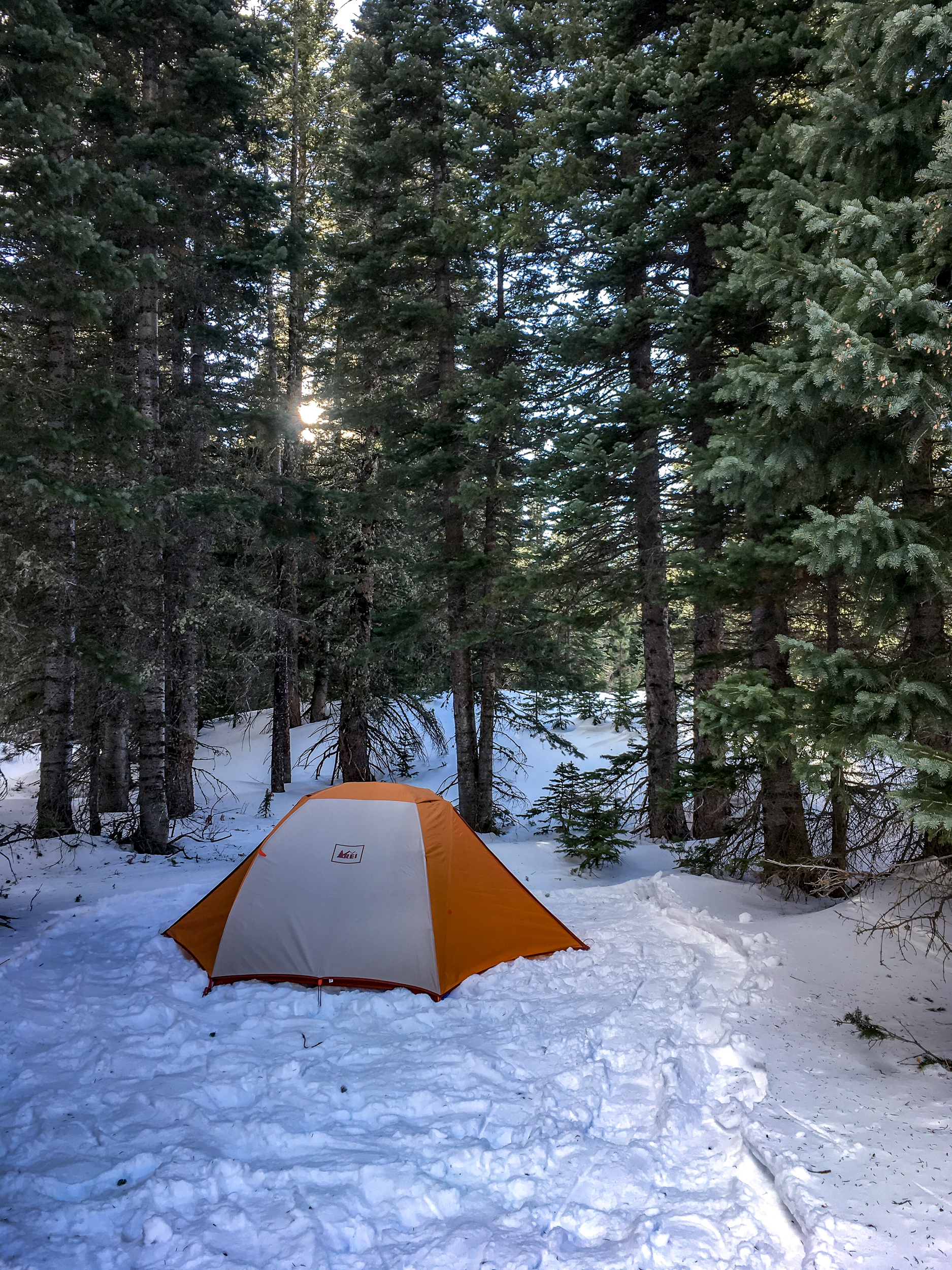
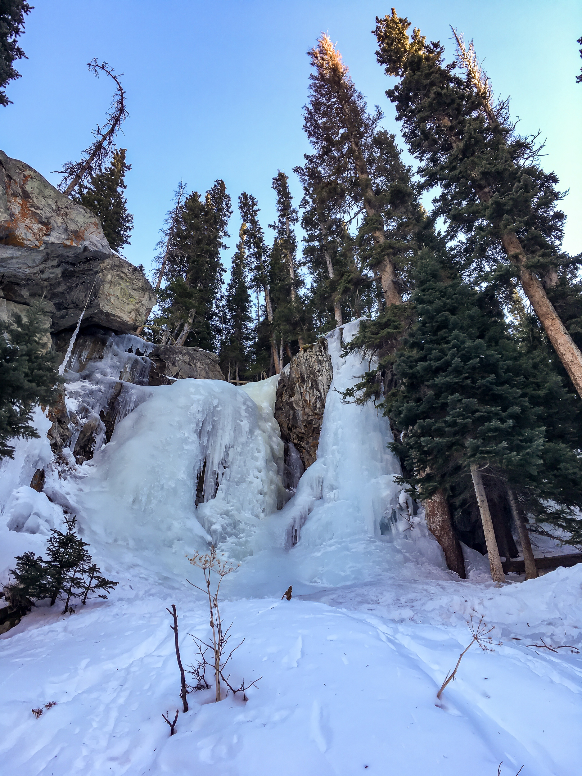
We headed in midday and found a nice spot between some pines and packed down a nice spot for the tent. After everything was all set up we snowshoed around the area and found a side trail leading up to a frozen waterfall.

About 4pm the sun set in our little valley and we got into the tent. Only 15 hours until the next ray of light…

The temps dropped to the teens and the wind howled through the trees but we stayed nice and cozy in the tent armed with books, crosswords and some warming stout.

I’d do it again, but I think I’d still take the hut and woodburning stove.

If you go:

Winter Camping-3709.jpg

In Defense of the Humble Raisin

 
2019 raisin-0984.jpg
 

I’ve been paying more attention to the calories per ounce in the food I take backpacking. I’m totally revamping my recipes and food for trips this summer, which I will post on later (spoiler, on top of better calorie density I’m also hoping to convince K to going down the cold soaking rabbit hole with me).

One food that is surprisingly calorically light is the raisin. I bank on raisins pretty hard, they are a big part of my breakfast and my homemade trail mix. After this realization I went on an interesting (and opinionated) path through blogs, sub-reddits and nutrition data websites. Coming in at ~85 cal/oz it gets dropped out of a lot of ultralight pack lists.

This new information sent me on a frenzy of thinking about how to get raisins out of my pack too. I bounced from one solution to another. “Cranberries have a few more calories/oz, I need to use them!”, “What if i just replace raisins with more shredded coconut for breakfast!?”, “More banana chips!”...

The cranberries have more calories but most of that comes from sugar. I don’t think I’d like the taste of that much coconut in my breakfast. Raisins have some stuff that can’t be quantified in calories; iron, magnesium, potassium and folate (B9) for example. All of these are essential and hard to come by on the trail. I like packing food that tastes good and is nutritionally well rounded. If I eat bad food I feel bad. Low energy, grumpy, etc.

Some disagree and say there are studies that prove we focus way too much on nutrition on the trail. As long we feed our bodies with enough energy it’s fine till the next town. If that works for you that’s awesome. But I personally feel much better on the trail if I’m getting a well rounded diet. In the end I settled down and remembered that what works for me is finding the balance between calories, nutrition and taste. Raisins will stay in my pack.

Thanksgiving Hut Adventure

It takes a special friend to forgo family and be willing to travel over Thanksgiving weekend. Luckily I have one of those friends. In short, our phone call goes like this:

Me: “Hey”

Him: “Hey”

Me: “I have a kinda crazy plan for Thanksgiving...”

Him: “I’m in!”

2018-11 Thanksgiving Hut-03624.jpg
2018-11 Thanksgiving Hut-03678.jpg

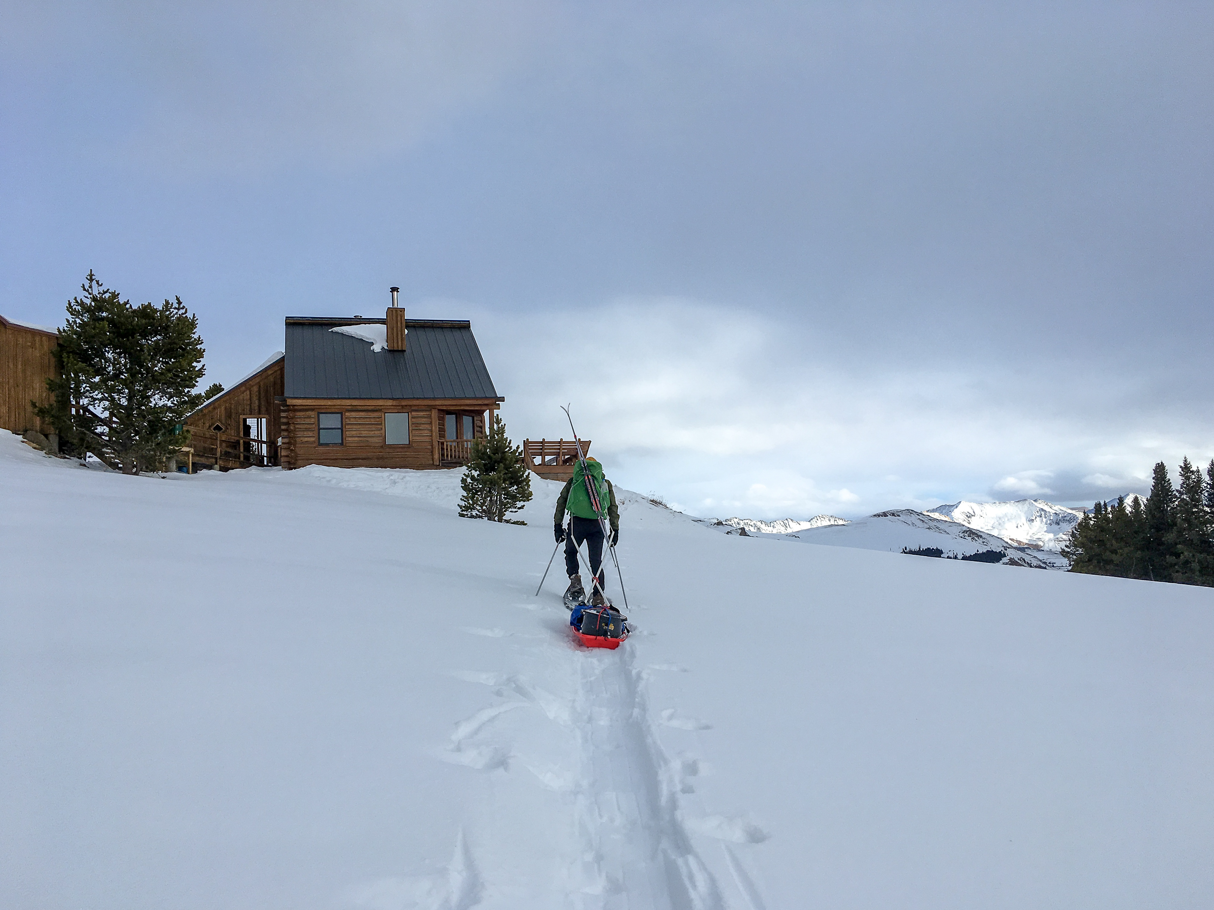
The plan? Rent a backcountry hut, fill it with friends, build a pulk and lug up a turkey + all the fixings for Thanksgiving. Ok, maybe not that crazy, but certainly fun.

He’s not lying, he books tickets from Seattle to Denver shortly after our phone call. After looking through the huts we settle on Jackal Hut, part of the 10th Mountain Hut system. Not too far from the front range and close to Vail where about half of our guests live (this will end up being very fortuitous, but I’ll get to that later).

2018-11 Thanksgiving-1547.jpg
2018-11 Thanksgiving-1544.jpg

The hut is only 3 miles from where we park but it climbs 2,400ft. We’re fully loaded and then some. I have snowshoes & skis on my pack and then the pulk which has 2 12lb turkeys, 2 pies, various bottles and bladders of wine and who knows what else. Halfway up, when I’m seriously regretting my offer to haul all this up, I do a mental approximation of the weight in the pulk - 50 lbs at least.

The first half of the way up has patchy snow and mud (makes the pulk pulling almost impossible), thankfully the second half is snow covered and much better (though still insanely steep). We make it up to the hut around 3pm, exhausted, but in good spirits. Time to get this turkey cooking and the bread proofing.

2018-11 Thanksgiving-1553.jpg

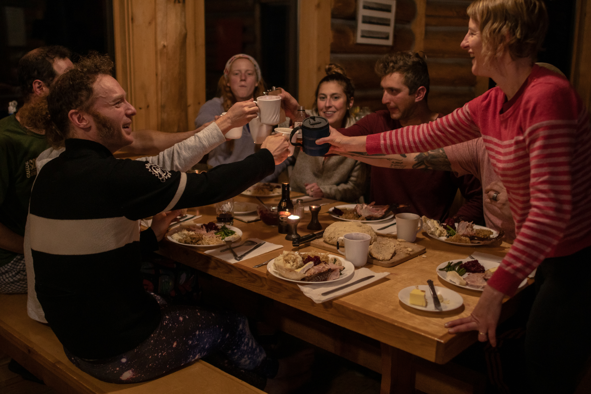
Getting the woodburning oven up to a good heat works surprisingly well. I’m nervous that actually cooking the turkey for 3 hours won't be so easy… it turns out to be a little finicky but the turkey comes out looking awesome (no one took a picture, wtf). The bread also comes out nice after rising for a few hours. The rest of the crew chips in and makes green beans, mac and cheese, potatoes, stuffing, cranberries and gravy. After stuffing ourselves and downing a few glasses of my Seattle friend’s home-made wine we all agree that persevering to get all this up here was worth it. Now we have to eat more so I don’t have to carry it down!

2018-11 Thanksgiving Hut-03637.jpg
2018-11 Thanksgiving Hut-03645.jpg
2018-11 Thanksgiving Hut-03659.jpg

Day 2 brings another 3 guests, 6” of snow, skiing and turkey #2. This one has been precooked and smoked and requires much less effort but tastes amazing, especially with all the leftovers from the night before.

2018-11 Thanksgiving Hut-03692.jpg
2018-11 Thanksgiving Hut-03628.jpg
2018-11 Thanksgiving Hut-03698.jpg

Day 3 it’s still snowing. After skiing and lazing around the hut we descend down to the cars (it takes less than ½ the time it took to get up). There is about a foot of snow on the cars and the snow is flying horizontally. The road back to the highway is flat and even with the low visibility I don’t think too much of the snow, until we get to the highway. The plows have been busy… plowing us in behind a 4 foot high wall of snow, ice and grit. I should have known better, but that’s irrelevant now. After using snowshoes and hands to shovel a hole for the car to fit through I back up and get ready to gun it through (again no pictures, sorry!). My friends are ready to push from behind to get me over the hump if need be (it was needed). I make it over and we slowly crawl on the highway back towards I-70. Cars are in the ditch all over the place and the snow keeps getting worse. When we get back in cell range we discover I-70 has been closed. There’s no way I’m turning around and going back over the pass to try to get out (the usual 1.5 hours back to Boulder is estimated at 6 hours).

Thankfully one of our hut crew lives in Minturn (where we are stranded). We head back there and wait until the rest of the group shows up. It’s decided that in exchange for dinner and beers we can all sleep on his floor for the night. Empire Records on Netflix it is, slumber party style!

2018-11 Thanksgiving Hut-03746.jpg
2018-11 Thanksgiving-1573.jpg

Wild Basin Snowshoe

Wild Basin is a great place to hike. It’s close, it’s beautiful, and there are a plethora of trails. In fact it’s been almost exactly a year since last time we were here. Not feeling very motivated to pick a trail ahead of time we did a “let’s start hiking and see where we go” kind of day.

2018-Wild Basin Snowshoe-01322.jpg
2018-Wild Basin Snowshoe-01343.jpg

We started by walking down the road from the trailhead to the Finch Lake Cutoff trail. The first part of this trail only had a few inches of snow. As we went up the snow slowly got deeper. Then, just after 9,000ft, it all of a sudden increased another foot. Definitely time to strap on the snowshoes. Being the first hikers on the trail was magical and we took our time. Once we got to the intersection of the Finch Lake/Pear Lake and Allenspark trail the snow became packed down. We stopped here for lunch and a cup of tea and enjoyed the views towards the continental divide. After we followed the Finch Lake/Pear Lake trail to the Wild Basin trail and back out to the car.

If you go

Twin Sisters Peak

As winter closes in my range of hiking options shrink. Luckily the front range near Boulder stays snow free longer than the mountains farther west. In Rocky Mountain National Park the Twin Sisters Peak Trail is about 7 miles out and back and gets you to 11,427ft. It is straight up and straight back down. There are a few views along the way but it is mostly through the trees until the last half mile.

Twin Sisters Peak-01260.jpg

There was already snow on the trail and there were a couple dicey spots of ice (yep, I left my microspikes in the car…) on the way up but going slow it was doable. Once we got out of the trees the trail was clear. It was blue skies for miles and the views from the top were stunning.

Twin Sisters Peak-01268.jpg
Twin Sisters Peak-01264.jpg

Never Summer Wilderness Weekend

It feels appropriate to ring in the fall equinox in the Never Summer Wilderness. I wasn’t sure what to expect here having not read much about it (and really I shouldn’t be surprised) but, wow, it was an excellent trip. Scenery was top notch, it was only 2 hours from my door to the trailhead for an amazing weekend loop. And the bonus: from Boulder the fastest way is to take the Trail Ridge Road through Rocky Mountain National Park. Not. Bad.

Never Summer Wilderness-01017.jpg

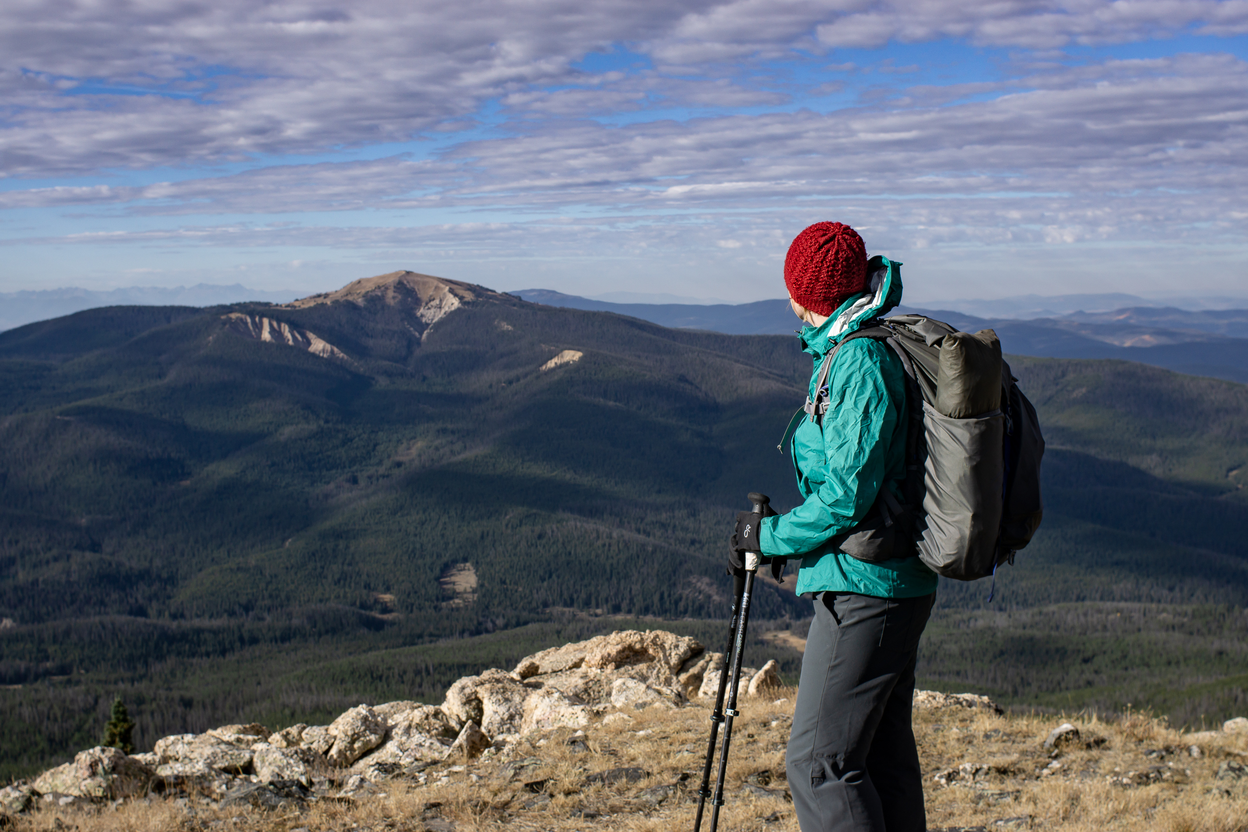
We hit the trail the first day around 11ish (yes we are lazy). From the parking lot the trail skirts the side of the mountain until it intersection with the Bowen Trail, which is also part of the CDT! From here we began to climb up Bowen Gulch. Our total gain was 2,800ft over 8 miles but given the consistent increase it didn’t feel too bad. We split off the CDT onto the Bowen Lake Trail for the last 1.25 mi to get to Bowen Lake, a great place to set up camp and chill for a few hours before sunset. There were a few people around but it really wasn’t busy. The hike up was mostly through the forest, not much for long views but a very pleasant hike, especially with the aspens starting to change. Scenery at the lake opened up a bit and we could see the ridge we were taking the next day.

2018 Never Summer Wilderness-01039.jpg
Never Summer Wilderness-01050.jpg

Day 2 we hit the trail early and got up onto the ridge behind Bowen Lake, the Cascade Mt Trail. The ridge section is about 4 miles and there are amazing views in every direction. And a summit of Cascade and Ruby Mt if you choose to (the trail itself goes just below the summits). The trail is easy to follow, in a few sections it became faint but since we were following a ridge, no problem.

Never Summer Wilderness-01086.jpg
Never Summer Wilderness-01078.jpg
Never Summer Wilderness-01111.jpg

The ridge descends down to Bowen Pass and intersects with the CDT/Bowen Trail. We headed west on the CDT for a ¼ mile before the intersection of the Jack Park (?) trail. There is a small creek here and it provided a sunny spot for lunch. The trail winds up the side of Fairview Mt and after a mile we bore right at another unnamed trail junction. We headed up to the pass between Fairview Mt and Parika Peak getting good views along the way. At the pass we could see down to Parika Lake and the Baker Gulch, our way back to the car. Parika Lake is exposed and would make for a tough camp in windy weather if doing the loop in the other direction. There are more sheltered spots a bit farther down Baker Gulch near an unnamed lake at approx 11,000ft that would make a good camp. The walk out down the valley became mostly wooded and was similar to the Bowen Trail we took up.

Never Summer Wilderness-01171.jpg

Made it back to the car around 4pm, I was tempted to stop in Estes Park but I’m glad I was able to wait another 30 minutes to Lyons where we hit up the Oskar Blues Taphouse for a delicious burger and a beer.

If you go

Mt Bierstadt

My First 14er.

I’m not a peak bagger. I love getting a view but I’d much rather walk a ridgeline than summit something. However, it is rather embarrassing that I’ve lived in Colorado for over a year now and I haven’t hiked a 14er (aka a 14,000 ft mountain).

Mt Bierstadt seemed like a good place to start as it’s considered one of the easier 14ers. We got to the trailhead around 6am and it was already full. It was right around freezing and the boardwalks were slick with frost but once we got moving it was a beautiful clear day for hiking. Little patches of ice crunched under foot where the puddles were the day before.

2018-09-08 Mt Bierstadt-0566.jpg

The trail itself is well trodden and easy going, especially the first mile or so and we made good time. We hit the switchbacks as the sun started peeking over the ridge and then a short section of rock hopping and we were at the top. Snacks and views were consumed. The way down was a breeze. Lots of crowds were heading uphill, glad we got an early start.

2018-09-08 Mt Bierstadt-0612.jpg

The overall elevation gain is ~2,600, which isn’t that different from a lot of day hikes I do but getting up to 14,000ft certainly makes it more challenging. I recorded a trip time of just over 4 hours including a 20 min break at the top, 7.25 miles total.

If you go:

Guanella Pass TH

Trail Map: Caltopo / Gaia

20 Hour Getaway

Its a busy Labor Day weekend for me but I have the itch to camp. 

After shooting photos for a client in the morning i grabb my pack and hastily shove my gear in. Luckily, in the spring I got on kick making a bunch of meals in anticipation of hiking season. I grab one of those and some oats and hop in the car. An hour later I’m at the Moffat Tunnel trailhead ready to hit the trail. The beauty of living in Boulder.

Blog Crater Lakes-0545.jpg

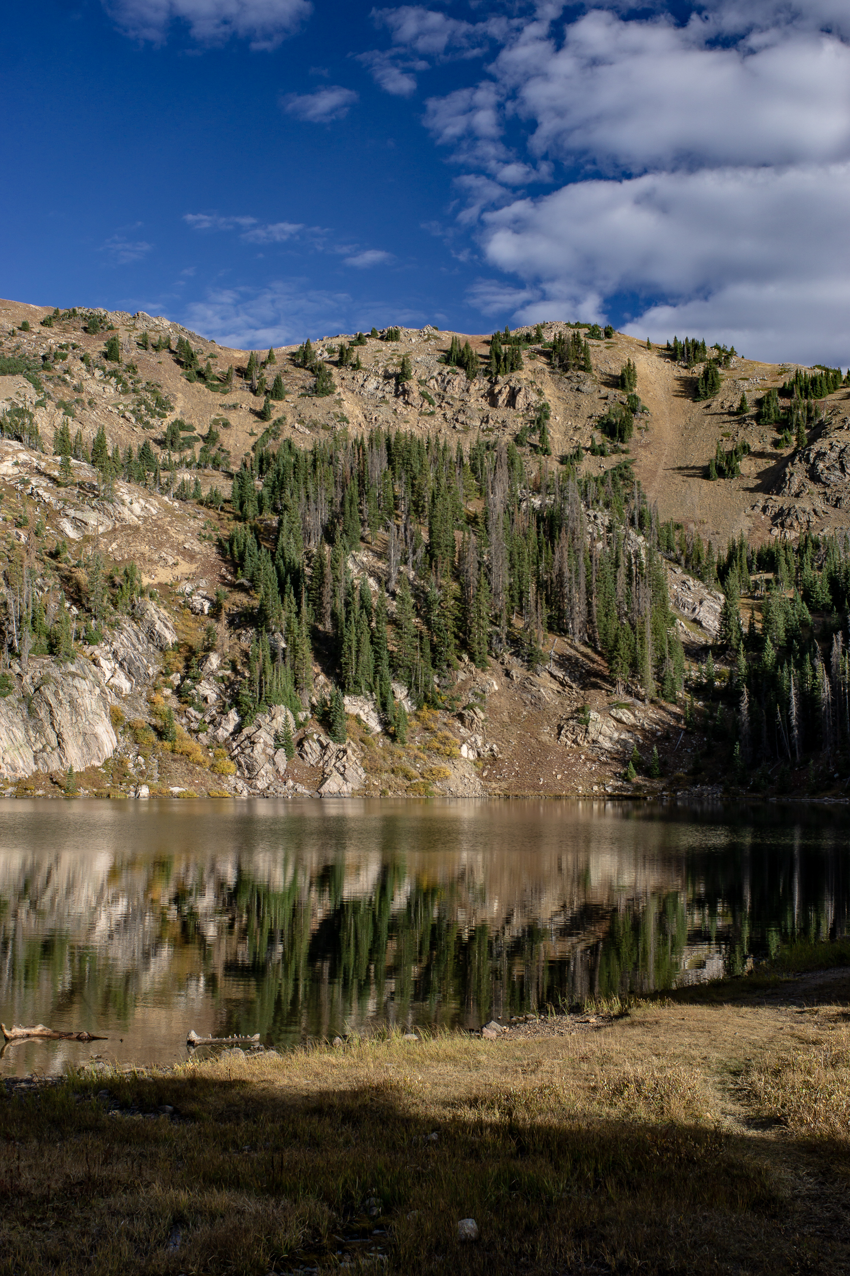
I’ve been to James Peak Wilderness before and I know there are multiple lakes with awesome campsites within 3-4 miles of the trailhead. This time I’m headed to the Crater Lake area, about 3 miles from the car. 

It’s late afternoon by this point and most people I pass are headed back to the trailhead. After 2 miles of steady gradual incline I get to the turn off to crater lakes. From here the trail becomes more steep before eventually flattening out near the lakes.

Unsurprisingly, there is a lot of activity around the lakes. On another weekend it could be a nice place to camp but for tonight I’m going another .5 mile and 400ft up to Upper Crater Lake. 

Blog Crater Lakes-0497.jpg
Blog Crater Lakes-0513.jpg

This is the steepest part of the climb and at lake level it becomes more of a rock hopping experience than actual trail. Not a lot in the way of flat sites but I find a little spot for my tent near the east side of the lake just past the outflow. The bonus is no one else is up here camping. 

By the time I finish dinner it is already fairly dark and the Milky Way is starting to emerge. The job I was working this morning was using a Canon 5DS R with an 16-35mm zoom. Perfect for having a bit of fun messing around with long exposure shots while the sky is still moonless. This is a great camera, it’s completely impractical to bring into backcountry but, hey, what the hell.

Blog Crater Lakes-0469.jpg
Blog Crater Lakes-0460.jpg

The next day I make it out early to get home. From door to door the whole trip was only 20 hours but was a great reset.

If you go: