Great Divide Trail Section A

We begin our adventure on the GDT with a climb from Waterton to Alderson Lake, our first camp. It’s only 7.5 km (4mi) but it’s a nice way to ease into the trail.

GDT A-08173.jpg

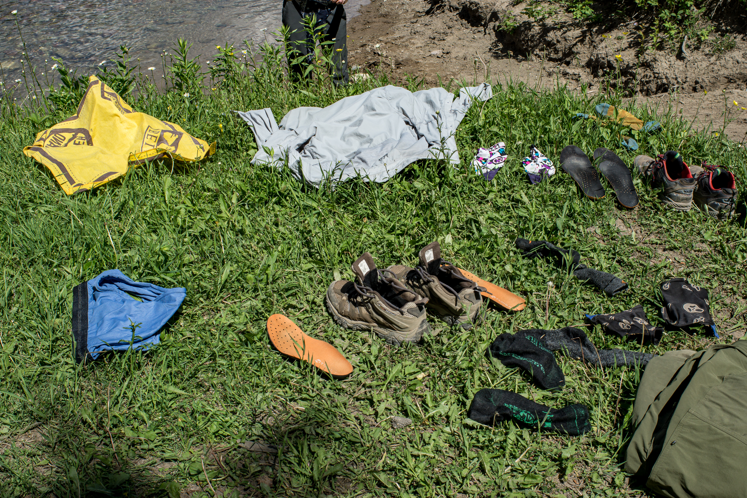
A contentious issue before we started the trip was the matter of camp shoes. I was staunchly against, K was in favor of a pair of cheap flip flops (7 ounces, insane!). It’s day 1 and we come back from cooking dinner to a missing flip flop. We hunt for it with no luck. I’m blamed. I swear it was a marmot (it was, honest).

GDT A-08186.jpg

It rains overnight and we wake up to a misty morning. The trail to Carthew Lakes is clear until just before the last steep climb to the lake, here we encounter a ~6ish foot snow wall. We make it over by cutting in foot and hand holds and slowly making our way up. At the top we see the lake and tons of marmots hanging out on the rocks (which one of you is currently lining your burrow with a comfy stolen flip flop?). When we get to Cathrew Summit the fog has lifted and the views are jaw dropping. We are definitely take an early lunch break here.

GDT A-08191.jpg
gdt pano.jpg

At Cameron Lake the sun is shining and it’s packed. We just left Waterton yesterday but it feels weird to see this many people especially since we only saw one other camper last night. From here we head down the road to the Akamina Trail and the Akamina Creek Campground. We make it to the campground by 4pm and enjoy the rest of the sunny day relaxing near the creek.

GDT A-08202.jpg

Day 3 we head back out to the road and take it to the Tamarack Trailhead. We debated taking the Mt. Rowe-Sage Pass alt but it’s only day 3, let’s not get ahead of ourselves. The trail up is mostly shaded, good cause it’s getting warm, and the wildflowers are everywhere. About 5km (3mi) from the start of the trail we reach an open meadow before we start up the ridge. From here the ridge looks impressive, and it is, there is 1,500ft of elevation gain in the next 1.5 miles.

GDT A-08249.jpg

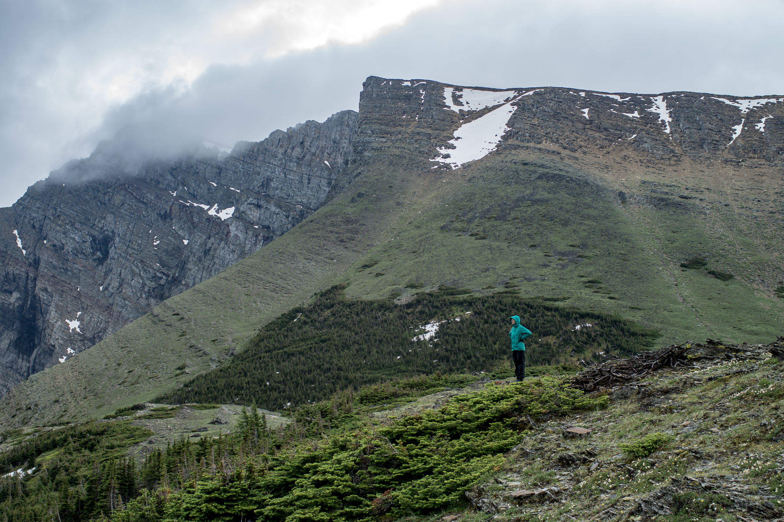
Walking up to the ridge we are going over snow patches, most are fine, a few are a little steep and deeper than I’d like. What makes me more nervous is the snow above us, it looks stable but it’s overhanging the edge. We hurry past this part of the bowl and just before the apex of Lineham Ridge there is one last lick of snow to cross. The ridge comes to a point and the trail goes up and over. To our left it’s steeper with deeper snow (see: slide back down the 1,500 ft we walked up), to our right a ~700ft drop off (see: death). There’s a big bear paw print in the snow, and the view past it is obstructed by a small rock pile we have to cross. From looking at either side of the snow in the small dip before the rockpile I come to the conclusion that it’s probably not a snow bridge. K really doesn’t like the “probably” qualifier. We brave it over and thankfully it’s not as bad as it looked once we get on it. Once we’re on the other side the entire ridge down is snow free with views for miles.

GDT A-08262.jpg
GDT A-08256.jpg

The Tamarack Trail follows the northeast facing side of the valley and there is still snow (and snowmelt) here making it a slow slushy walk. We come across many bear prints and fresh-ish scat on this section of trail. I’m glad Lone Lake, our destination, is in another valley.

GDT Section A-078.jpg

Day 4 and another day of clear blue skies. I didn’t get very cold last night so I’m expecting today’s going to be a hot one. We head out toward Twin Lakes, no one else in sight. The trail into Twin Lakes is the same as into Lone Lake, snow covered and some postholing is required to get down. When we get to Twin Lake we stop and have our first major trail discussion of the trip.

GDT A-08283.jpg

After yesterday's freaky snow experience on Lineham Ridge we’re not sure what the GDT primary route over Sage Pass will be like. We don’t have ice axes for snow travel and we know the next 2 days involve some very steep ridges. Could be dicey. The alternative is to take the Twin Lakes Trail down to (I think) the Avion Ridge Trail. Once the trail hits the border of the park we should be able to take an old fire road down to the South Castle River and then follow the road/ATV trails out to the road and rejoin the GDT at A31/Syncline Mountain Trail. It’s a big detour and it’s skips some great ridge walking, but much less risky.

GDT A-08325.jpg

In the end we take the detour, I’d hate to come across a situation feel “obligated” to continue on a dangerous path. It’s a bummer but the route ends up being a fun journey through the castle river valley. Once we are at the edge of the park the trail stops but the fire road is obvious the whole way down. There are a few blowdowns but nothing too intense. When the trail levels out there are sections of brushy willows bushes over the trail, annoying more than difficult, but otherwise a clear trail. We camp about ⅓ of the way down the valley.

GDT A-08380.jpg
GDT A-08319.jpg
GDT A-08375.jpg

Day 5 is mostly walking down the rest of the Castle River valley and then out to the 774 road. The walking goes fast, as we get closer to the developed road the trail changes to ATV to gravel road. We spend part of the afternoon “swimming” (more like running in and running out of the water before we freeze) in the Castle River, later we find an old campground near the river to stop for the night. The walking was easy, mentally it was tougher thinking about the ridge section we were skipping.

Day 6 We begin the day by hitting the 100km mark of the trail (although with our detour i’m not sure how far we’ve actually walked), then immediately onto a cutline straight up 1,000ft. After that we’re mostly on ATV roads for the rest of the day until we get to Willloughby Ridge and start to climb again. It’s windy and we end up camping on the east side of the ridge instead of the ridge itself to provide some shelter. The only flat-ish spot is the trail itself which is also covered with bear track (black bear I think/hope). Yikes.

Day 7 Walking Willloughby Ridge is beautiful and the weather is calm. We’re not in the mountains but the views of the mountains from here are stunning. After the ridge it’s 16km of ATV trails into Coleman. Section A complete!

Links:

Getting to the GDT

Getting to the start of the Great Divide Trail is an adventure in itself.

Fortunately for us the Amtrak runs through Wisconsin only a 20 minute drive from my parents house. We can take this to Glacier National Park and then taxi the rest of the way to the trailhead.

2017-06 GDT Start Trail-041.jpg

Before we leave Madison for my parents house we stop by K’s favorite restaurant for lunch, La Taguara. They comment on our car loaded with stuff and we mention we’re moving out of town after lunch. As we’re finishing lunch the owner drops by the table and gives us a couple desserts to go! Awww… I’m missing Madison already!

After unloading our car we get a ride to the Amtrak station. We arrive early and my parents insist that we get another lunch (I’m still stuffed from lunch #1), so when the train pulls in I roll onto the train. To add a bit of comedy to our departure  we each have a giant bag (literally a sack for lawn waste) with our food resupply for the trip. Mailing internationally to Canada is expensive and with K’s gluten allergy we can’t risk the food getting stuck in customs. Roughly 50lbs of food each will be accompanying us on the train.

2017-06 GDT Start Trail-051.jpg

The train winds up the Mississippi towards the Twin Cities and we’re treated to a sunset over the river. The next evening we arrive in East Glacier more or less on time (rare for Amtrak I’m told) and head to Brownies Hostel. Normally I’d walk the ½ mile but with our packs and 50lbs of food each we catch a cab with Rhonda of Mountain Chief Cab Company (who’s also giving us a ride to Waterton in the morning).

2017-06 GDT Start Trail-056.jpg

It’s around this time I realize that when I synced music to my phone the day before we left I also somehow wiped the digital copy of our printed maps. We still have the printed maps. We still have the Guthook app. But this doesn’t stop me from losing a decent amount of sleep over this mishap. Ehhh, anxiety my old friend.

In the morning Rhonda picks us up, right on time. Mountain Chief Cab Company is a great service to hikers, they offer to pick up and drop most anywhere, even across the border, which no one else seems to do.

Border crossing goes pretty easy, we don’t even have to get out of the car and they don’t seem to mind the ridiculous amount of food we are bringing over. Fairly anti-climatic. We get dropped off at the post office and mail our boxes. I’m happy to be rid of that food. Then we grab our permits at the ranger office for the first few nights in Waterton Lakes National Park. We see our first bear wandering through the middle of town, great…

It’s only 11am and today’s hike is only about 8km so we get in one last breakfast for good measure before hitting the trail!

GDT Prep

 
our final gear for the trail

our final gear for the trail


The last few weeks have been a hectic mix of finishing up loose ends at work, moving out of our house and prepping for the Great Divide Trail. It’s been crazy to say the least.

When K was at a conference I pulled a couple long nights prepping meals for the trip. She has a gluten allergy so it’s much easier to make food in advance. It would be tough to resupply in small towns and avoid gluten. Plus we like to eat as well balanced as possible when we’re out on the trail. So here’s to making 30 trail days of food in advance!

We were able to get a couple last conditioning hikes in at Devil’s Lake State Park, an old favorite and test out our Vargo Wood Stove and Tarptent MoTrail on a rainy night (it works!). Wish I had more time to write but only a week before we hit the trail!

2017-06 GDT Prep-6584.jpg
2017-06 GDT Prep-009.jpg
2017-06 GDT Prep-006.jpg

Pictured Rocks Group Trip

The North Country Trail through the Pictured Rocks National Lakeshore is one of my favorite stretches of trail. Part of that is due to the scenery and part is due to the fact that I’ve been coming up here since before I can remember.  

Last year I did the whole 43 mile stretch in one go for the first time. This year we’re doing 36.4 miles from Miners Castle to Au Sable Falls. There is a hiker shuttle that runs between Munising and Grand Marais, but with a group the car shuttle is pretty easy, the trailheads are only about an hour apart.

Blog 2016-10 PRNL-3305.jpg
Blog 2016-10 PRNL-3343.jpg

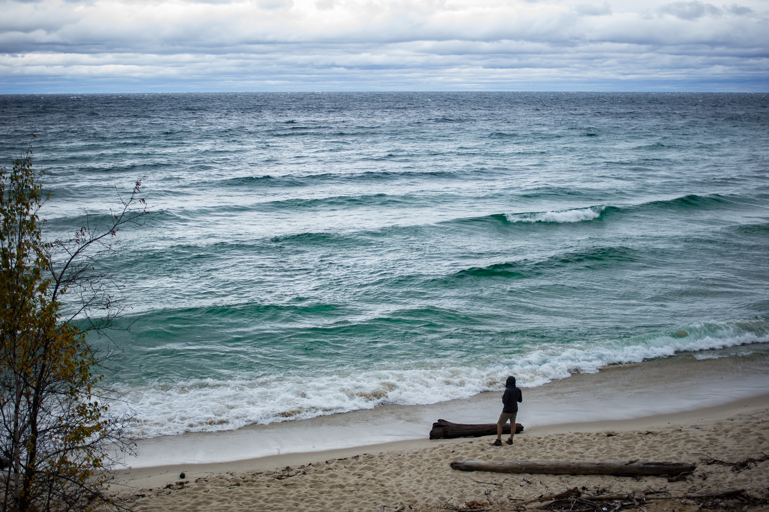
We got started just after lunch and headed the 5 miles to Mosquito Beach Campground. The next morning we broke camp and started the walk by climbing to the top of the Pictured Rocks themselves. The forecast called for a front coming in from the north sometime in the late morning. Sure enough around 10am a bank of clouds started building to the northwest. For the next hour we watched the clouds inch closer until suddenly they were upon us. The temps dropped about 20 degrees and the winds picked up to gale force, it was awesome.

Sure I’d prefer the warmer, sunnier temps but witnessing the sudden transition really reminds you who is in control. The wind continued through the rest of the day and made for a dramatic sunset over the lake at the Beaver Creek Campground where we spent night 2.

Blog 2016-10 PRNL-3400.jpg

It was a cool and drizzly morning on day 3. Last year I had the pleasure of calm weather and was able to walk a large stretch of twelvemile mile beach along the beach itself. This time around we stuck to the forest.

Blog 2016-10 PRNL-3325.jpg
Blog 2016-10 PRNL-3416.jpg

The highlight of the day was the surprise that I knew was coming. For the most part the trail stays a few miles off the main road through the park but near the Au Sable Lighthouse the trail nears the road. Before meeting with 2 members of our group a friend and I managed to stash some beers under a log just off the trail. Nearing the end of our day the team was tired, hungry and wet. When I told my unsuspecting friend to “see what’s under that log...” I got a death stare. But after some coaxing he obliged me and gleefully pulled the bag of beers out. Definitely a morale booster to walk the last two miles of the day with a beer in hand.

Blog 2016-10 PRNL-3403.jpg

The sun came out for our final day and we had good views climbing up to the top of the dunes and down through the forest to our car at Au Sable Falls. We made a beeline for the Dunes Saloon in Grand Marais for a well earned burger and beer before heading back home.

Blog 2016-10 PRNL-3449.jpg
Blog 2016-10 PRNL-3453.jpg

The $50 Pack

I’ve wanted to transition to more ultralight gear for a while but the cost is prohibitive. So when a casual trip to the local thrift store uncovered this Gossamer Gear Pilgrim 36 I almost fell over. What is this pack doing 1. At a thrift store 2. In Madison, WI and 3. Is the person that knows about this kind of gear still around cause we should hang out.

Gear-0962.jpg
Gear-0964.jpg

As far as I can tell the pack is in great condition and at $50 it’s ~$100 cheaper than new. It’s smaller than the one I’ve been eyeing up (the Gorilla) and frameless (not sure if I’m ready to make that jump yet) but for $50 I can’t not buy it.

A Short Jaunt on the Lake Superior Trail

Getting into the woods with my uncle hardly ever means roughing it. Don’t get me wrong, we did hike 5 miles in to a spot of Lake Superior, so we did something. And considering the circumstances, I’ve been looking forward to this trip for a while.

 
Porcupine Mts April16-2378.jpg
 

My Pictured Rocks backpacking trip last November wasn’t supposed to be a solo trip, but my uncle needed emergency heart surgery (he’s fine now, he’s obviously on this trip). After the surgery he made me promise that we’d do a “consolation trip” as soon as he healed.

It’s been six months but I’m not sure spending 3 days backpacking in temps of lower 40s by day and mid 20s by night (not to mention the wind chill never really getting above freezing) is really doctor approved. But for a guy who was bedridden all of cross country ski season I don’t think no was an option.

So back to roughing it… Food is always central to any trip with my uncle. Night 1 was his meal to cook.

Porcupine Mts April16-2363.jpg

Makes my night #2 fire-cooked tacos look downright pedestrian.

The trip itself was fairly mellow. Walk in to camp on the Lake Superior Trail from the Pinkerton trailhead on day 1, go for a day hike up the Carp River on day 2 and walk out day 3.

The weather up the Carp River Trail was actually very pleasant, near 60 and not windy. Probably would have made the most sense to camp there but there is a certain draw to being near Lake Superior that I can’t shake. The sun was out in the afternoon and even with the wind chill it was nice to look out over the lake, or as my uncle put it “it’s fairly pleasant in the sun, with five layers on.”

I’m not entirely sure what the story is with this, but it makes an appearance at every camp my uncle makes.

Porcupine Mts April16-2316.jpg

New Years in the Porkies

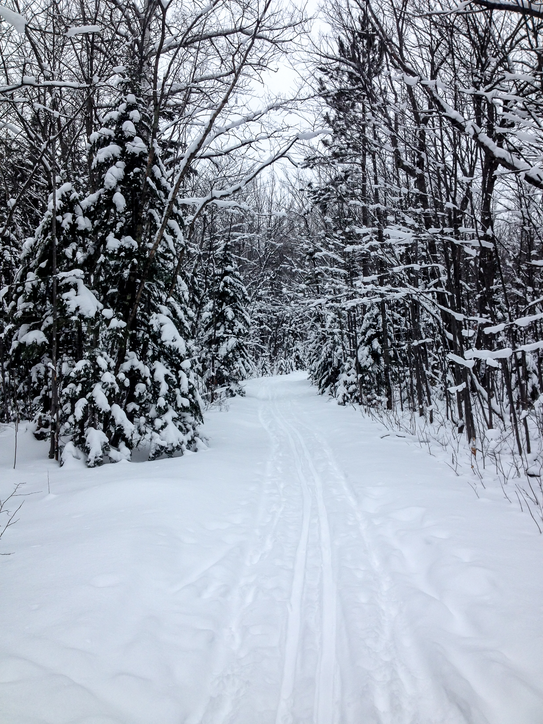
Back to the Porcupine Mountains. Crazy how much difference a month can make. Full winter mode now and today it’s a walk in snowshoes back to the Union River Hut. Not quite enough snow for grooming but more is forecast for tonight so fingers crossed for some good skiing.

Blog 2016-01 NYE Porkies-4117.jpg
Blog 2016-01 NYE Porkies-4108.jpg

Day 2 brings in more snow (yay!) and also the rest of our group for a New Years celebration. Groomers were out rolling (but not tracking) the trails so we have some skiing. Let it be known that the woodstove in the Union River Hut is either on full steam ahead or off. Someone from our group got a little overzealous loading the stove with wood before bed and I woke up in a sauna.

New Years Day the sun was out and we had really nice conditions for skiing. Hardly any activity on the trails besides us and plenty of new snow to ski through. We spent most of the day exploring and enjoying the trails. The West Vista lookout is a tough climb but well worth the views (my phone battery died so no pics).

Blog 2016-01 NYE Porkies-0653.jpg

The last night it was just 4 of us in the hut. Matt and I decided to do one last sunset ski up to the East Vista Overlook. After the sunset we started making our decent back down and stopped outside a warming shelter to get our headlamps out. While we were digging in our packs the door of the warming shelter opened a crack and a man called out “I’ve got a nice fire going in here...” (me: skeptical/possibly creeped out) “...also if you want to help me finish this 6 pack of Hopslam….” Matt turns to me, raises his eyebrow and bolts into the hut. I follow. After a good hour of “helping” our new friend and enjoying the cozy cabin we ski out by moonlight to our hut.
If you go:

43 Miles in the Pictured Rocks National Lakeshore

I’ve been coming to the Pictured Rocks National Lakeshore (PRNL) since before I could walk. Over the years I’ve hiked most of the Lakeshore Trail, the 43 mile section of the North Country Trail that runs from Grand Marais to Munising, but this will be the first time I’ve done it in one stretch.

I drove up early to meet the hiker shuttle at the Munising Falls parking lot. After the 45 minute shuttle ride I was dropped off at the Grand Sable Visitor center with a friendly midwestern goodbye paired with the comment “people who hike out here alone are crazy”. Gee thanks…

Two miles in I passed a group of 4 heading back to the Visitor Center. They would be the last people I saw until Munising Falls.

BLOG 2015-11-05 PR-0510.jpg

What I’ve always liked about PRNL is the variety of scenery packed into the park. Heading east to west I start in a forest before weaving in and out of view of the sand dunes. At the old log slide the trail follows the ridge down to Au Sable Lighthouse with sweeping views of Lake Superior along the way. Just before dusk I reach the Au Sable East campsite and make camp.

BLOG 2015-11-05 PR-0540.jpg

Day 2:

I wake up to a cool damp morning. Skies are still overcast. After a warm breakfast I pack up and head out past the lighthouse. This time of year it’s deserted. I pass through two car campgrounds (the first empty, the second has a single RV but no signs of life as I walk past) before starting the section along Twelvemile Beach.

BLOG 2015-11-05 PR-0554.jpg

The trail technically is just inland from the beach but it can be quite soft with sand so I chose to walk on the packed sand near the water. The lake is calm and the walk to the Pine Bluff campsite goes by quickly.

BLOG 2015-11-05 PR-0606.jpg

Day 3:

Much sunnier today. I finish the last few miles of the beach and get to the Coves section of the trail. I love this section: lots of secret coves and rock lookouts a short scramble off the trail. I spend way too long sunning myself here and drinking a mid-morning coffee.

BLOG 2015-11-05 PR-0725.jpg
BLOG 2015-11-05 PR-0709.jpg

Now the trail heads on top of the Pictured Rocks and then down to Chapel Beach. The sun is out and the lake is perfectly still. It’s gotta be 50 if not 55. I can’t resist a swim (it’s Nov 3rd!).

BLOG 2015-11-05 PR-0770.jpg
BLOG 2015-11-05 PR-0823.jpg

The trail heads back up on the rocks and I catch the sunset there before heading to the (eerily creepy) Mosquito campsite in the dark.

Day 4:

I wake up before sunrise and can’t get back to sleep so I pack up and decide to have breakfast on top of the rocks about two miles into my hike. A bit hazy at the start of the day but hopefully that burns off soon.

BLOG 2015-11-05 PR-0890.jpg

On Miners Beach the sun starts to shine and the view through the wild blueberry bushes is stunning. Heading up to Miners Castle I expect to see a few people but the area is empty. From here the trail stays slightly inland and I get only occasional views of the lake. The walking is easy but it’s the most boring section of the trail.

 
BLOG 2015-11-05 PR-0929.jpg
 

Mid afternoon I reach Munising Falls and soak my feet in the (cold!) stream before heading back home.

If you go: