The End – Wild, Wet, Windswept Olympic Coast

A version of this post appears on The Trek, which you can read here

The coastal section through the Olympic National Park starts, as many PNT sections do, with a 22-mile walk through forest roads. We walk it as fast as possible, knowing it’ll be our last day of roadwalking. Whoo hoo! Near the end of the day the road joins the Ho River. After a little while we hear a faint crashing noise. Waves from the ocean? A mile or so later we pop out from the forest and get our first wide view of the Pacific Ocean. We made it!

After 70 days walking up and down mountains the coast section feels like a totally different trip. The expansive ocean stays to our left, tide pools and beach line the path forward. Our hiking is dictated by the pull of the tides. We also are tapering our mileage, taking four days to walk the last 38 miles.

DSC04279.JPG

Another difference: a group of seven thru-hikers all started out of Forks on the same day with the same idea. We end up meeting most days to wait out the midday high tide and camp around a beach bonfire at night. Since Glacier National Park we’ve only camped with other thru-hikers a handful of times. For the most part I’ve enjoyed the solitude but having other hikers around at the end is exciting and makes us realize how epic of a journey this has been. It’s hard to know for sure but likely 50 people or less will complete the PNT this season. It’s a rare treat to share our experiences with other PNT class of 2019ers.

DSC04152.JPG

The first two days end up being gorgeous weather, warm with clear skies and calm seas. There are fun (and slightly sketchy) overland ropes to pull ourselves up and over rocky headlands. We even found whale bones!

DSC04136.JPG

On the third day we wake to an overcast brooding sky. Rain is definitely on the way. We manage to make it over slippery rocks and across a large section of beach by 10 a.m., just before the rain starts. We set up our tent and build a fire to stay dry as the rain keeps coming. And coming. The other PNTers also stop to wait out the rain. It ends up raining straight from 10:30 a.m. to 7 p.m., and everyone decides to camp. We’re less than ten miles to the end and have had our shortest day of hiking! It’s hard not to go stir crazy in the tent.

DSC04314.JPG

The next day, our last day, we wake up early. The rain is holding off so we move out of camp ASAP. An hour later we see other hikers coming up behind us. It’s a group of five other thru-hikers who have caught up to us! There will be 12 of us finishing today; it’s possible that’s a PNT record.

DSC04295.JPG

The gray skies remain but the rain holds off until just as we are finishing at Cape Alava, the western-most point of the Lower 48. We did it! We are exhausted! We are excited! We are thru-hikers! The end of the trail is fitting for the PNT. No sign, no blaze. The beach continues northward. Day hikers and backpackers gives us quizzed, confused looks as we celebrate the end of a 1,200-mile, 74-day journey.

IMG_5252.JPG

Epic Olympics – PNT Section 9

A version of this post appears on The Trek, which you can read here

It’s hard to know where to start to describe our section through the Olympic Mountains. It was vast, dynamic, tough, rugged. We went from mountain passes to river bottoms. We saw salmon swimming in creeks and bathed in hot springs. We were in popular alpine meadows and remote, unmaintained temperate rainforests. We had some of our best views and toughest climbs. We saw hundreds of slugs and ten bears. It was my favorite section and it was physically the hardest section. It. Was. Epic.

We started from Discovery Bay, setting off from the trail angel Greg’s place in the morning. The original route of the PNT runs right through his property (the primary now goes south on hwy 101).

To the best of Greg’s knowledge Ron Strickland, the creator of the PNT, likely came to the property in the late 1970s when he was developing the trail and asked his father-in-law for hiker access. Greg still is excited to allow access rights and has even refurbished an old fish hatchery into a trail shelter for hikers. Amazing!

The first day we walk a combo of some lightly used forest roads and overgrown trail to get us to the start of the Gold Creek Trail. We watch salmon swim upstream as we make camp.

The next day we enter the Buckhorn Wilderness, crest our first pass of the Olympics, and end the day just outside the national park boundary.

DSC03880.JPG

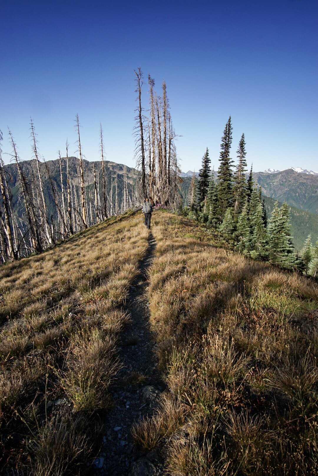
Day three begins with a climb and a ridge walk before descending to the Dosewallips River. The views are awesome from the pass. Clear blue sky in every direction!

DSC03735.JPG

Another day–surprise, surprise—a stunning pass with crystal clear views and gorgeous trail. After the pass we descend to the Elwha River and spend the rest of the day walking along it. It’s beautiful trail, the river is turquoise blue, and the mossy trees occasionally open to big, grassy campsites. I even find an unopened Clif Bar at the Elkhorn ranger station! Thanks, random hiker!

DSC03940.JPG
DSC03899.JPG

Day five takes us around a closed road and up to the Olympic hot springs. It’s a weird, post-apocalyptic vibe walking the old road. The signage looks new and the solar-powered audio displays still work. The hot springs are a great midafternoon soak spot. Reluctantly we leave to climb 3,000 feet to Appleton Pass. The camp spot is totally worth it and we are treated to a great sunset.

DSC03945.JPG
DSC03972.JPG

Day six. Seven Lakes Basin day. The views are insane. Alpine lakes, Mount Olympus, and many frantically foraging bears. Also many other hikers. We even meet a 2008 PNT hiker! The weather is the same as the last five days—clear blue skies in every direction. We end the day by entering the unmaintained Bogachiel River Valley. It’s a quiet contrast from the Seven Lakes Basin.

DSC04013.JPG

Day seven. We’ve been warned by other hikers and the rangers that the Bogachiel can be an epic slog over wet rocks, blowdowns, overgrown trail, and “holes with god knows what living in them” (official quote from a park ranger). None of those reports are wrong but they are wildly overblown. We love walking down the remote valley and navigating over the fallen trees and through the bushes.

DSC04098.JPG

The trail ends at a trailhead and a it’s a few mile walk to the Bogachiel State Park. The park has bike/hike in sites and (most importantly) the local pizza joint delivers pizza TO YOUR SITE. A perfect end to a week cutting straight through the Olympics.

DSC04089.JPG